
It was an unseasonably cold day in October of 2025 when we embarked on an expedition in a remote corner of Capitol Reef NP. Capitol Reef is the most under-appreciated of Utah’s national parks, with scenery comparable to Zion but without the crowds. Solitude is easy to come by, especially if you’re off the beaten path. Our goal for the day was to complete a hikeaneering route called the “Wingate Wander”, which spans two canyons, covers 10 miles of technical terrain with 1500 feet of elevation gain and requires wetsuits, technical gear, and a large dose of fortitude. This route is done so infrequently that one cannot rely on existing anchors or previous trip reports, so it has a very first-descent vibe to it. Beta is available here: Wingate Wander – ropewiki.
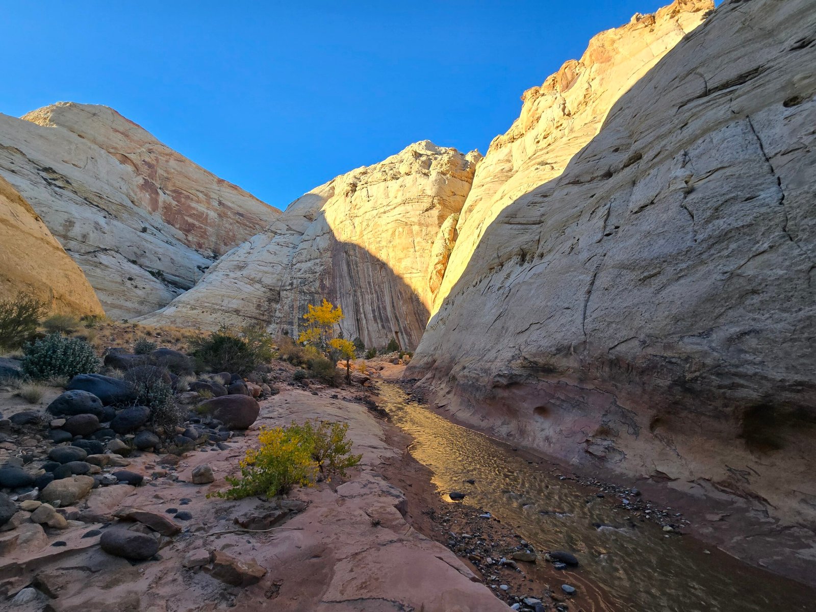
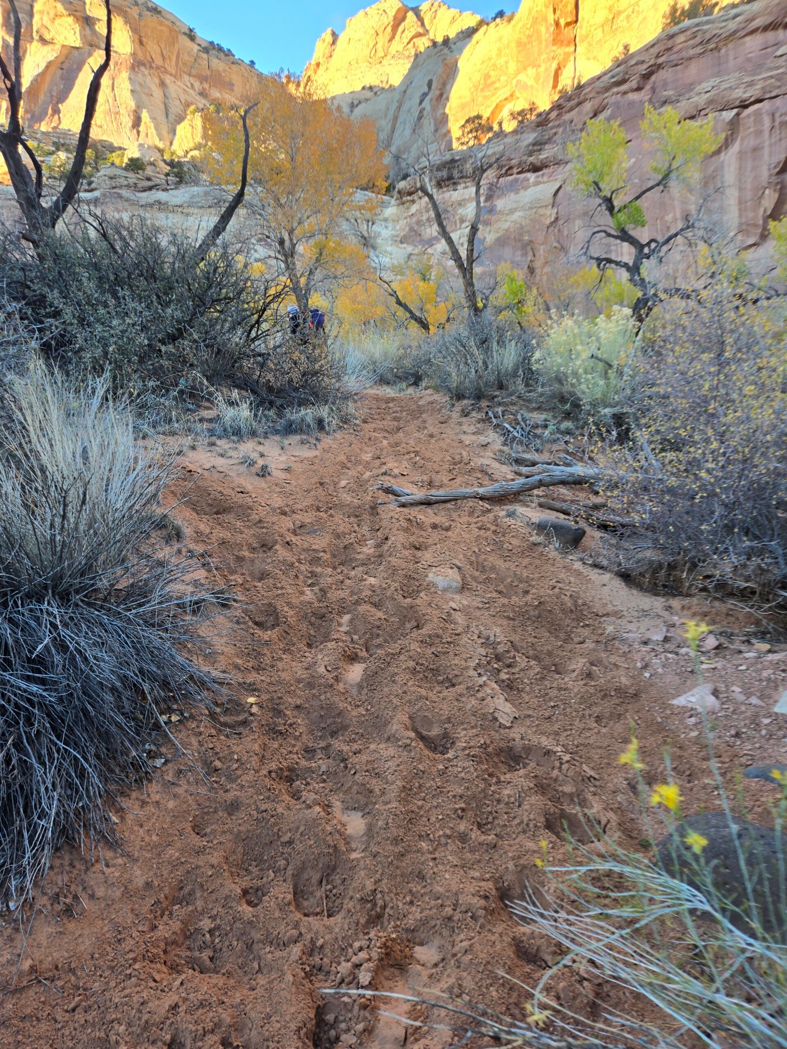
We began our day at 9am after an hour-and-a-half drive from our base in the North Wash to reach the Pleasant Creek trailhead. This highly scenic part of the park is well worth visiting, especially in the fall to witness the striking yellows of the cottonwoods along the creek. Pleasant Creek is a significant stream, running year-round from the slopes of Boulder Mountain through the sandstone domes of the Waterpocket Fold and down to the farming community of Notom. We visited a few years ago to hike along the stream and explore a little-known slot canyon from the bottom. At the time we learned that cattle ranchers use the stream as a conduit for moving herds from summer to winter pastures in October. Sadly, this had just happened, and the riparian areas were a trampled, muddy mess. It was very sad to see this inside a national park.
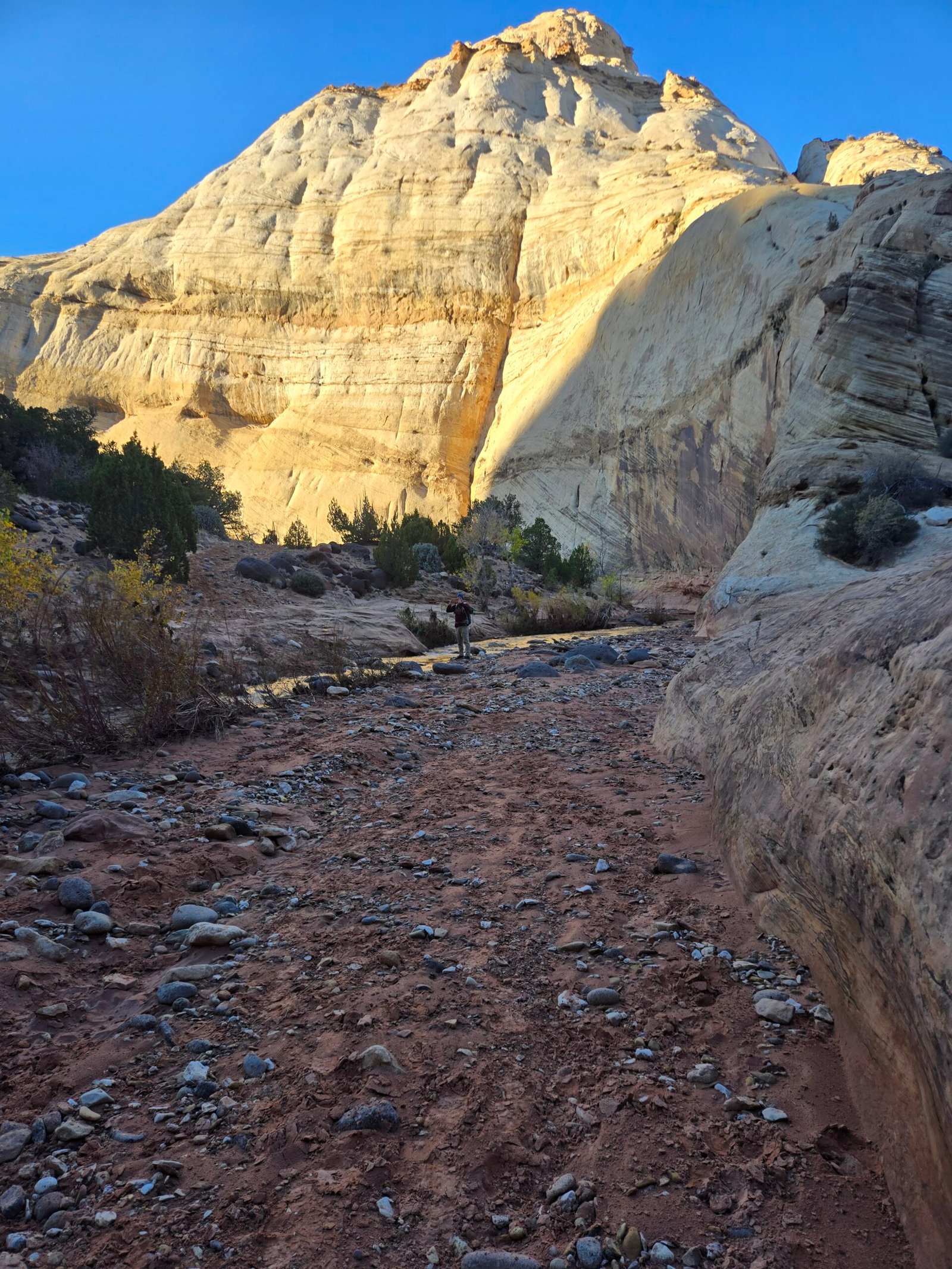
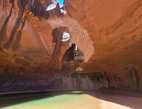
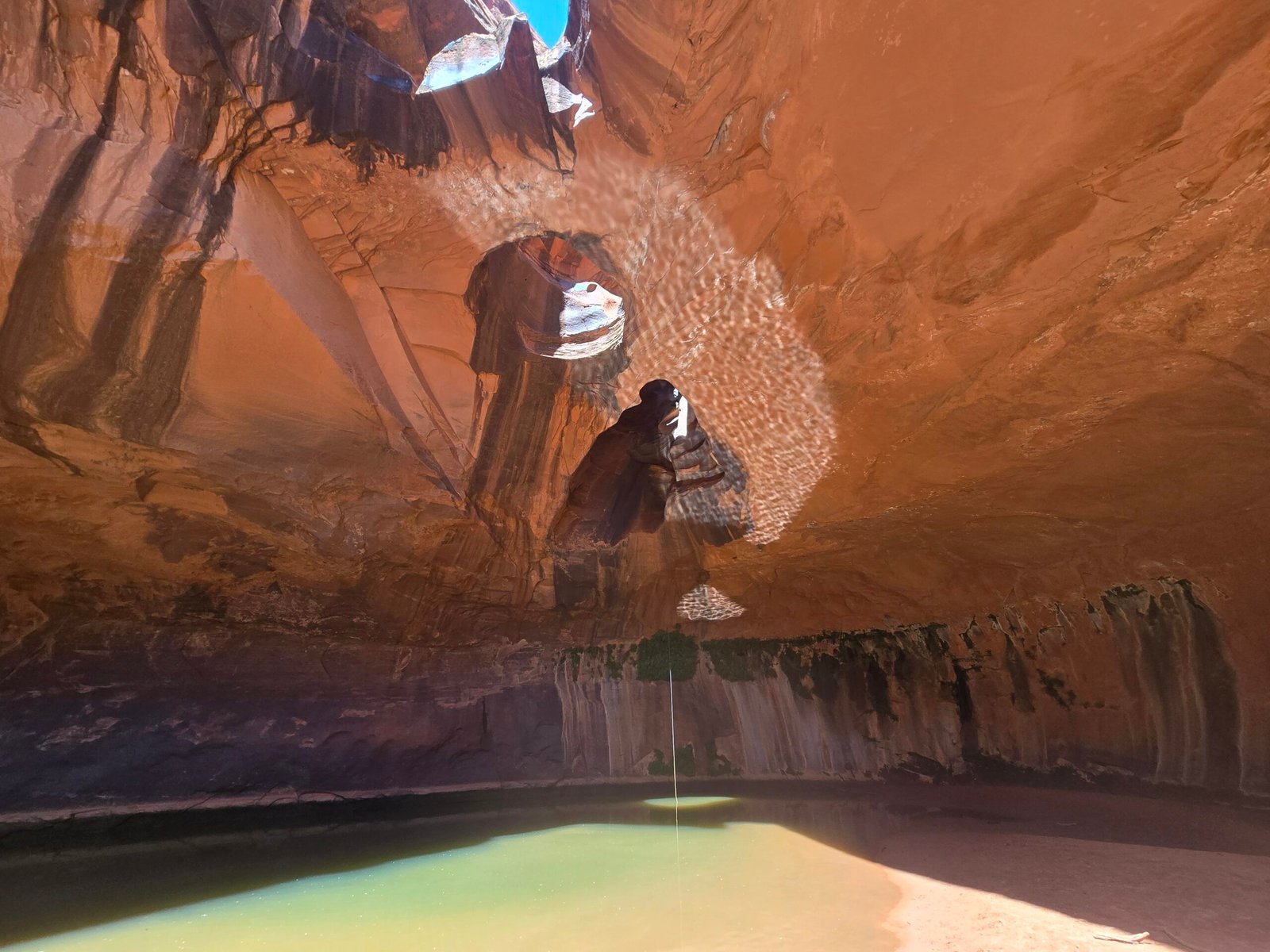
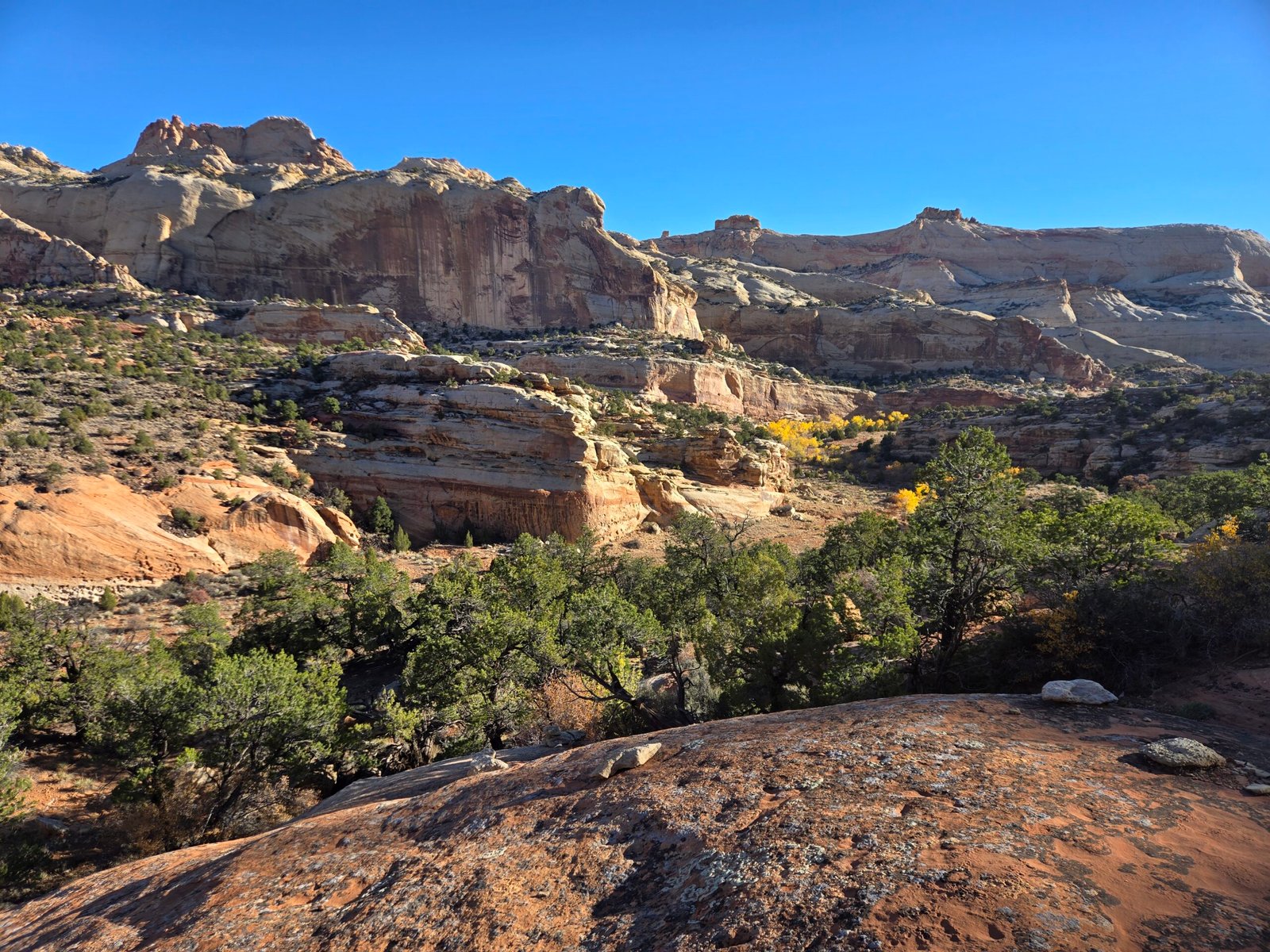
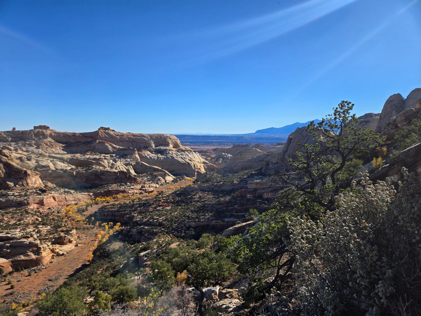
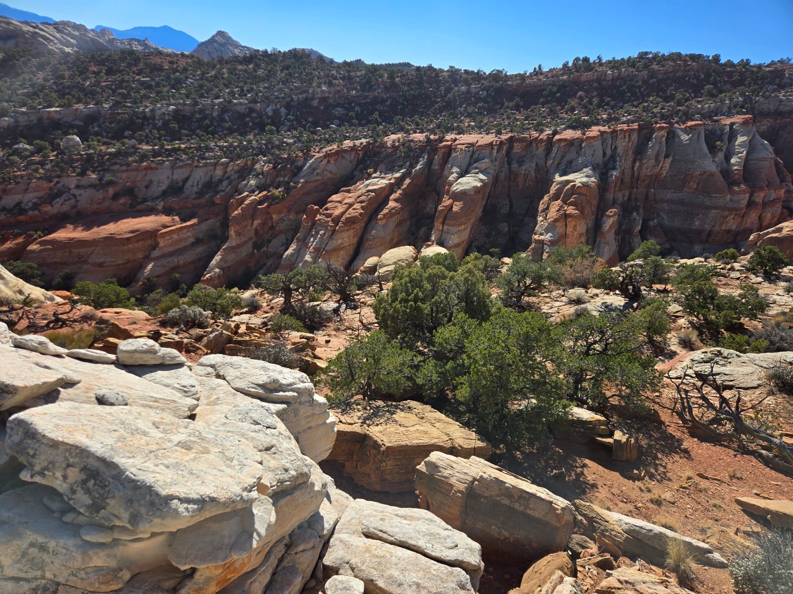
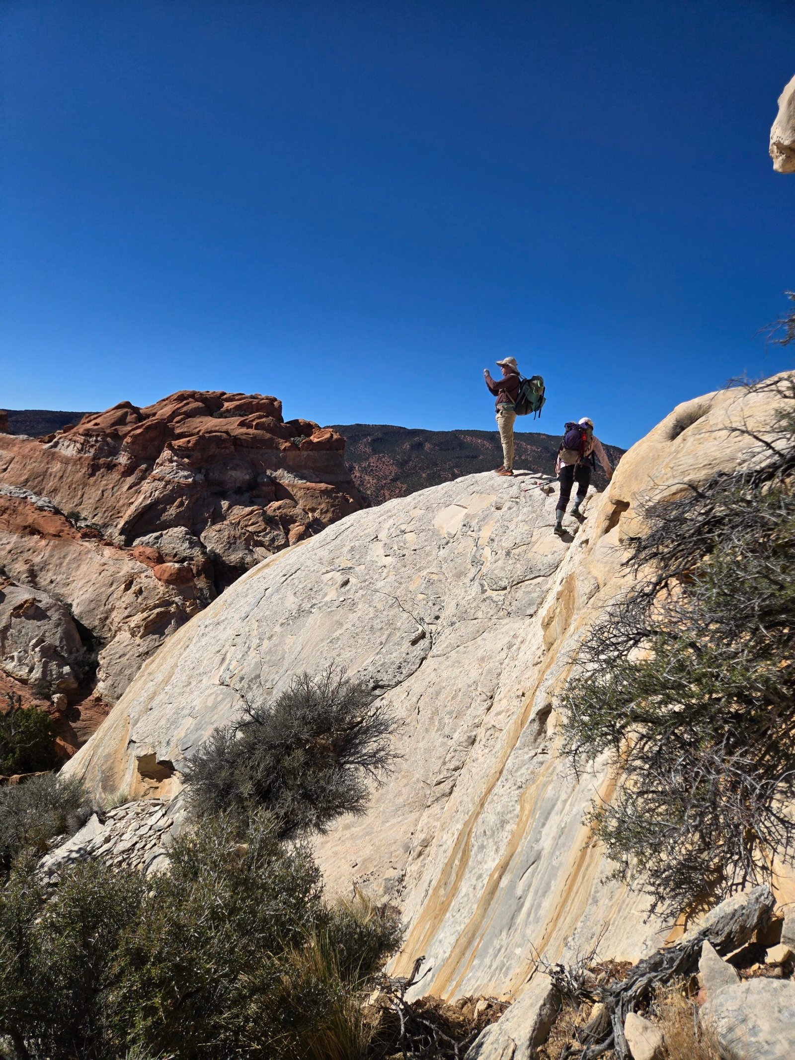
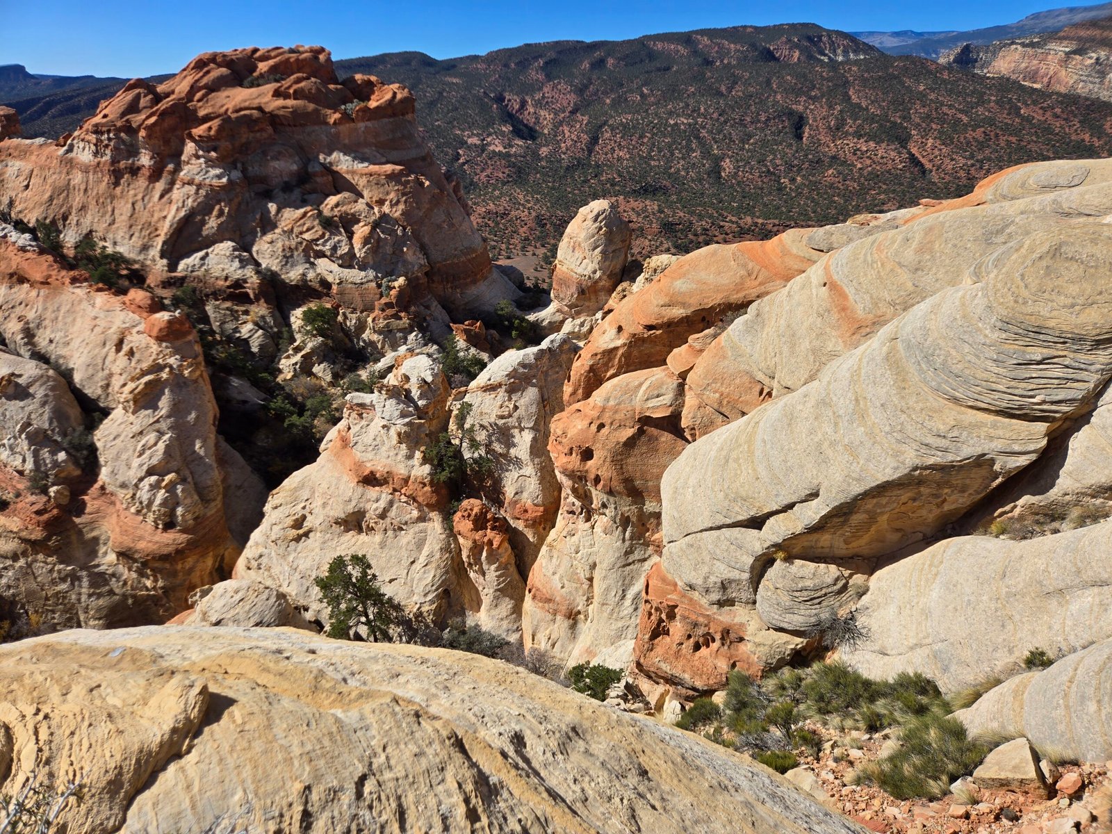
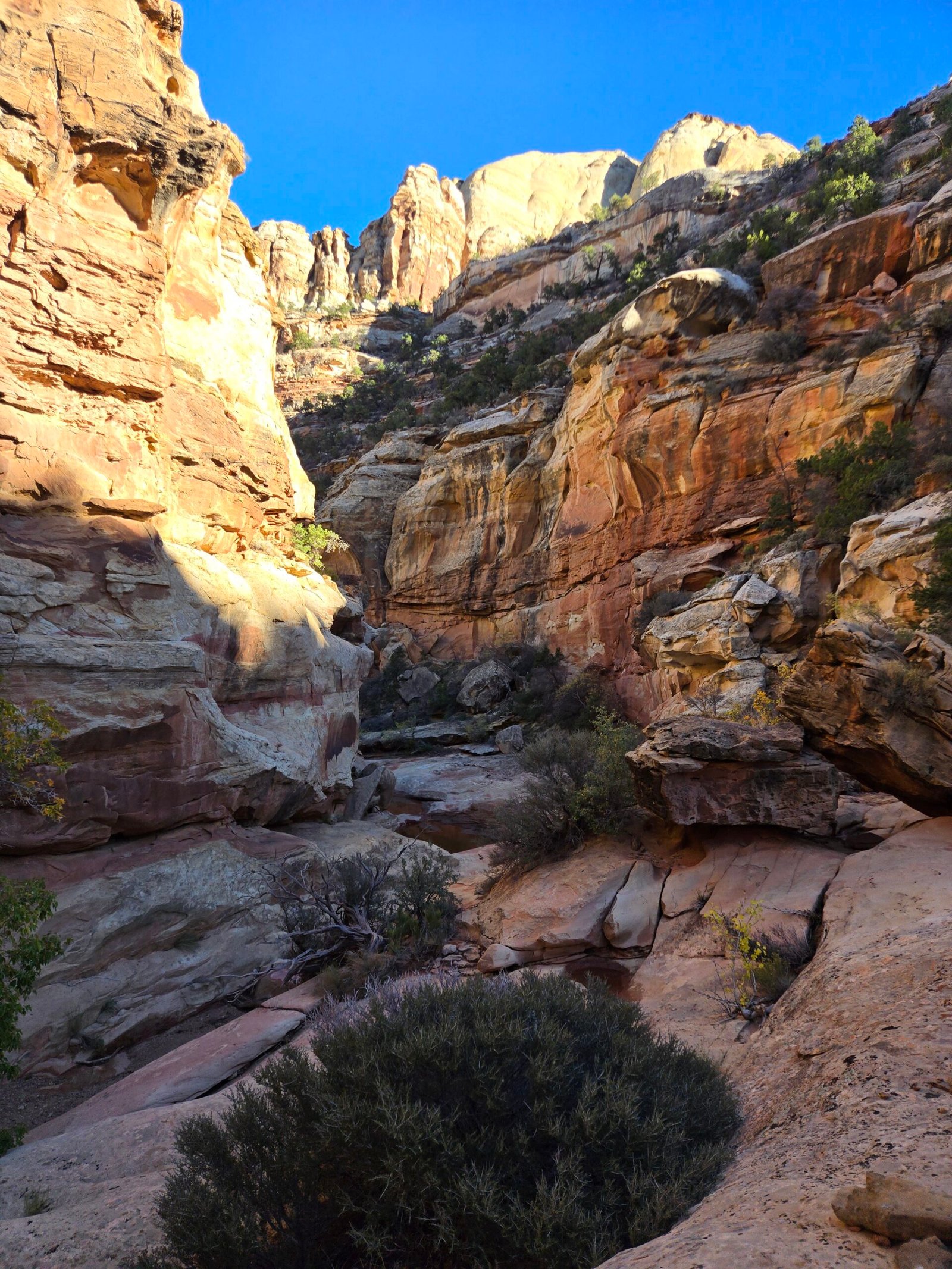
We hopped on the Pleasant Creek trail and headed east for about a mile, at which point we left the trail and began climbing up steep cliff bands, making our way upwards to the south. This part of the hike is a showcase of Capitol Reef scenery as far as the eye can see. Here are sweeping monumental views of the famous tilted white and red striped sandstone that Capitol Reef is known for. A couple of hours into the hike, we found the drop-in to our first canyon. This is a short and brushy canyon with one rappel, descending down to a large arch. We were fortunate that the bottom of the arch featured some mud, but water was still avoidable that early in the day. The canyon itself was not particularly noteworthy and quite short but made for a good diversion on the way to the next slot. Soon we climbed out of the canyon and made our way towards the second slot, where the real fun began.
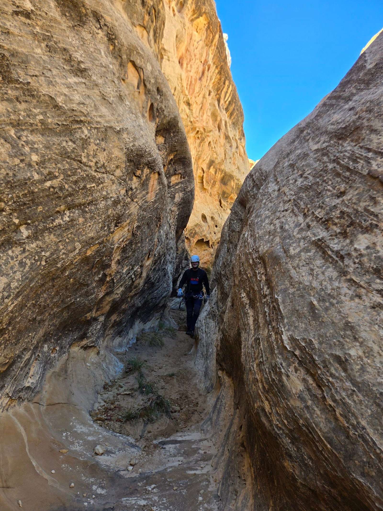
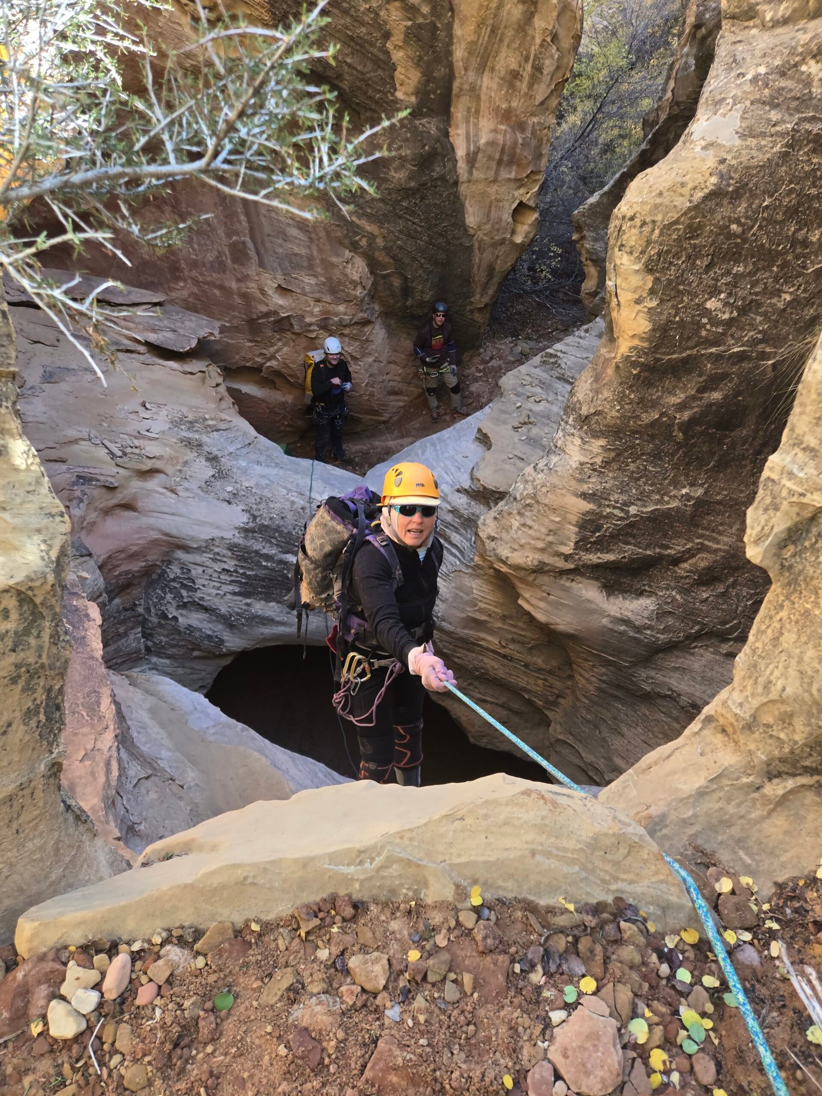
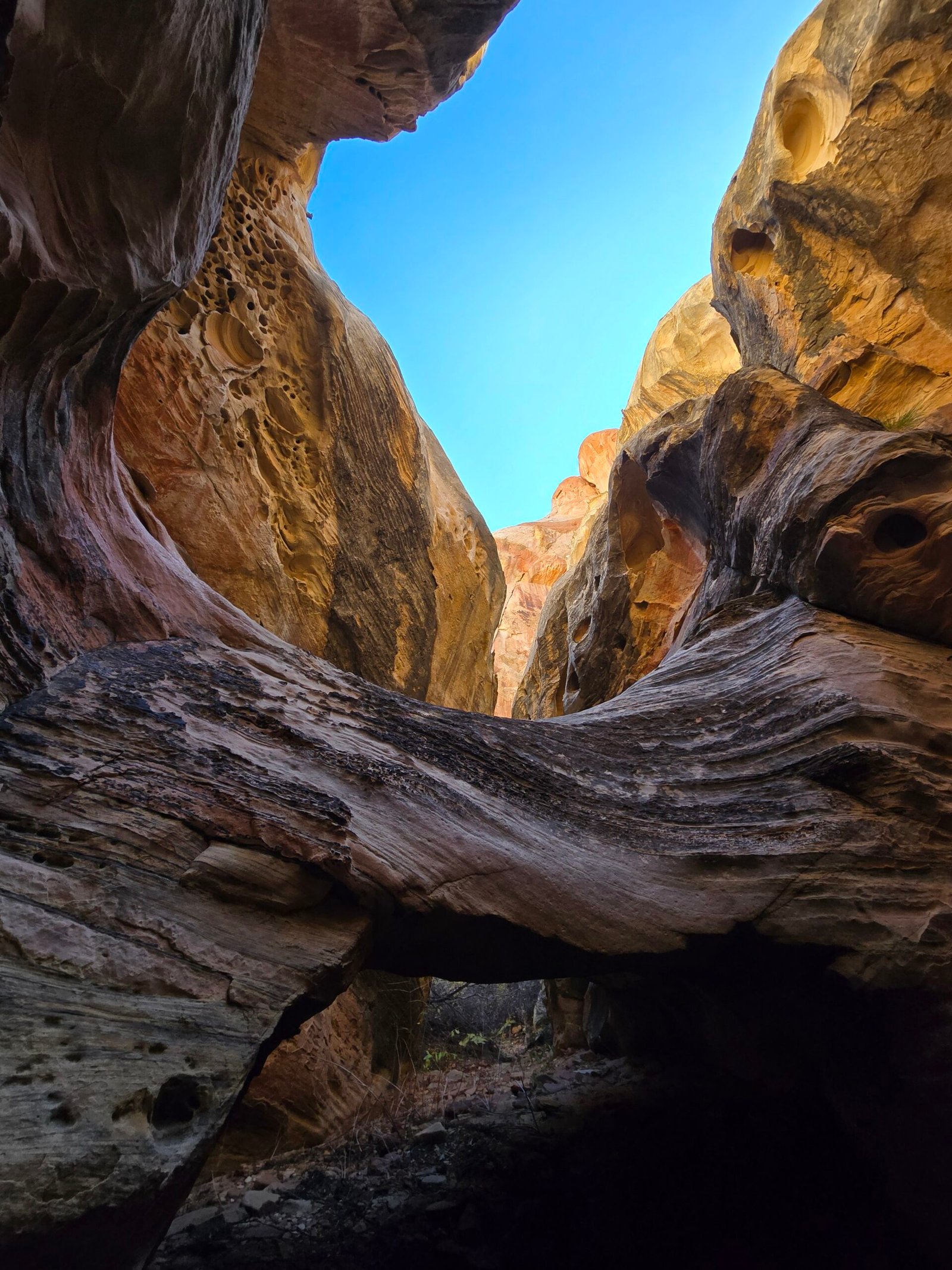
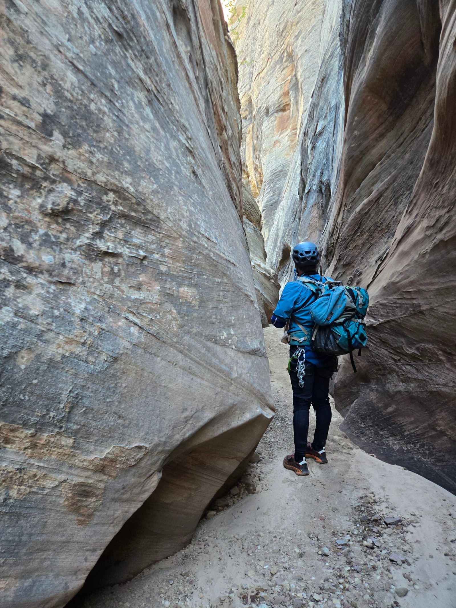
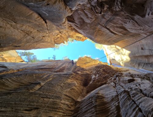
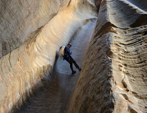
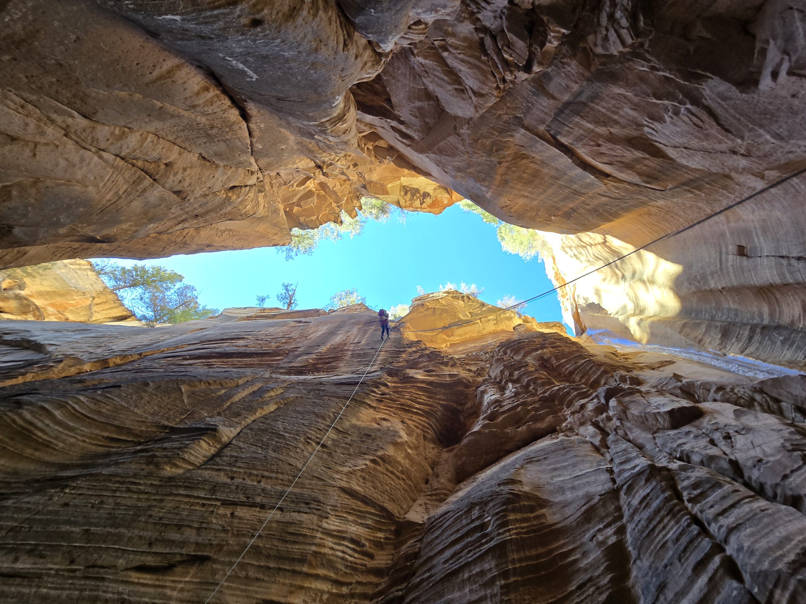
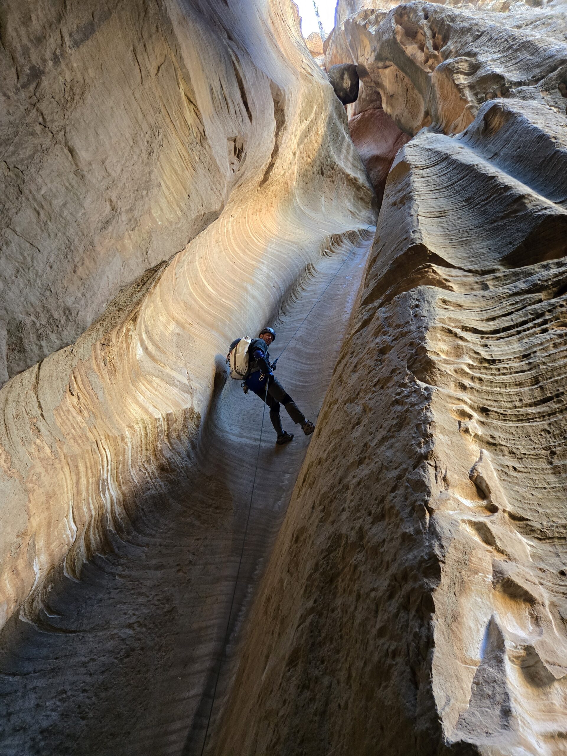
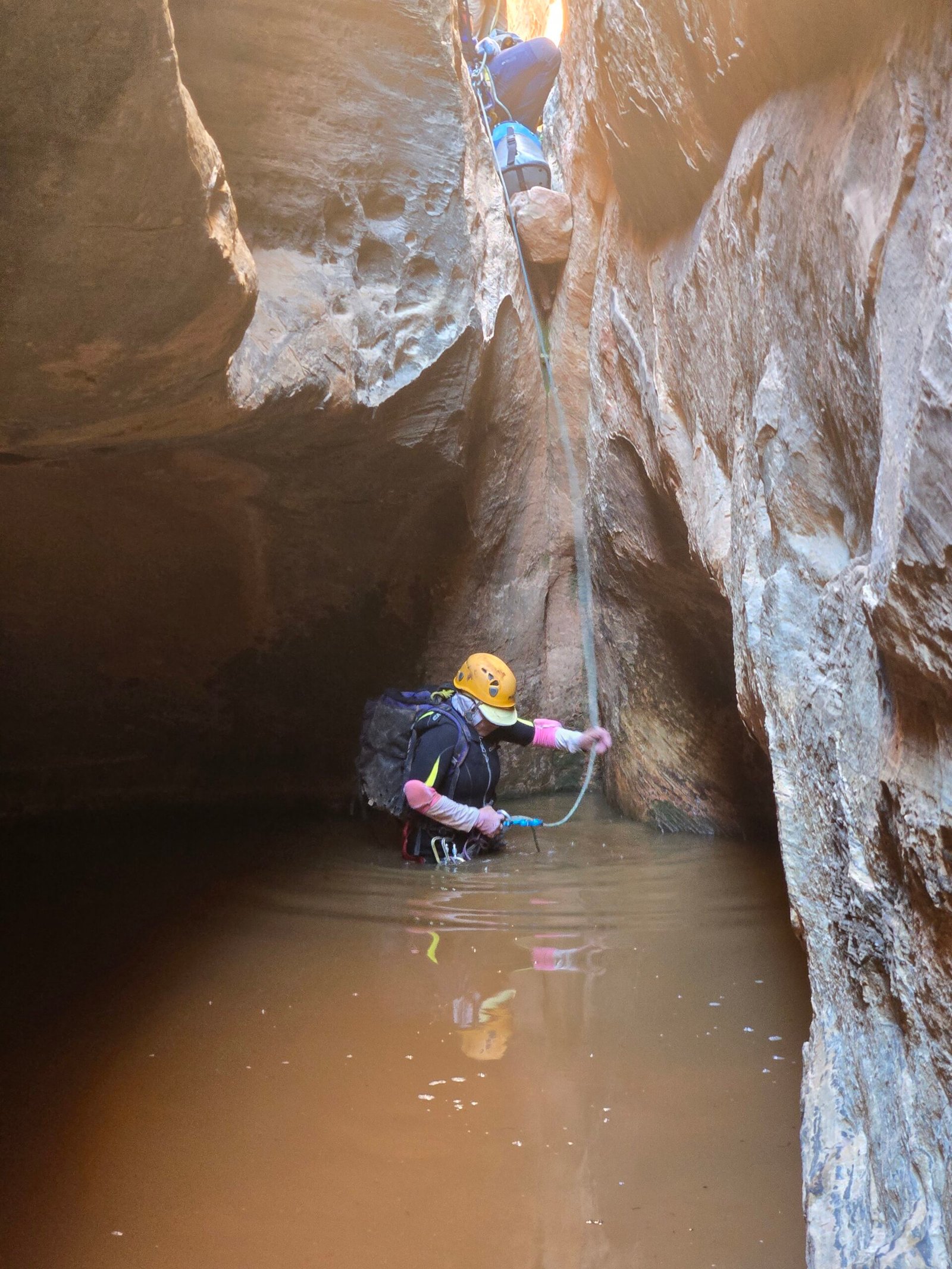
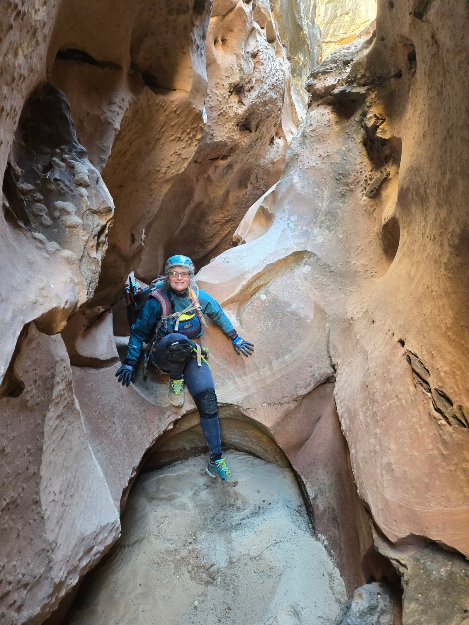
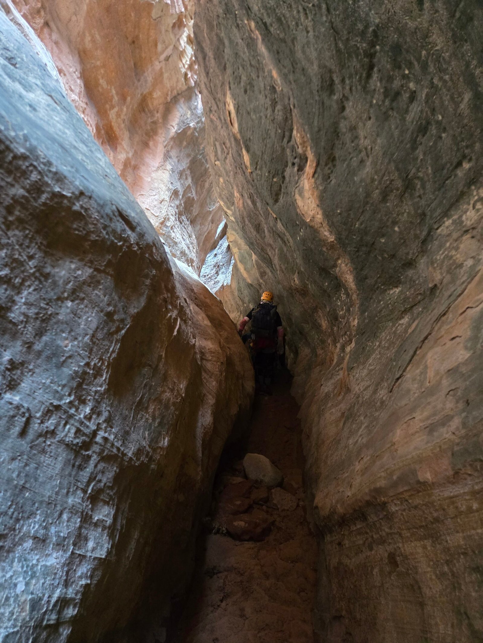
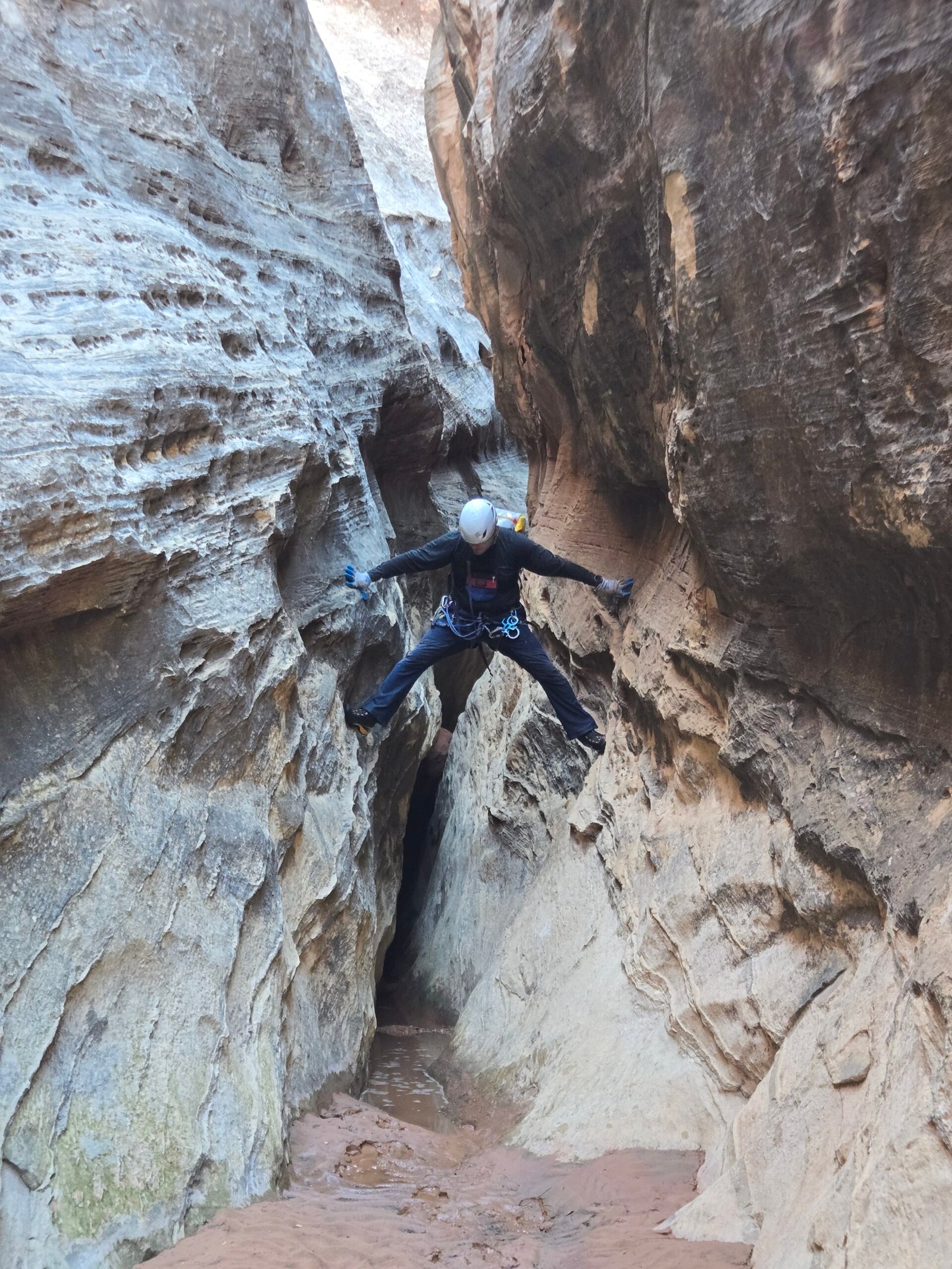
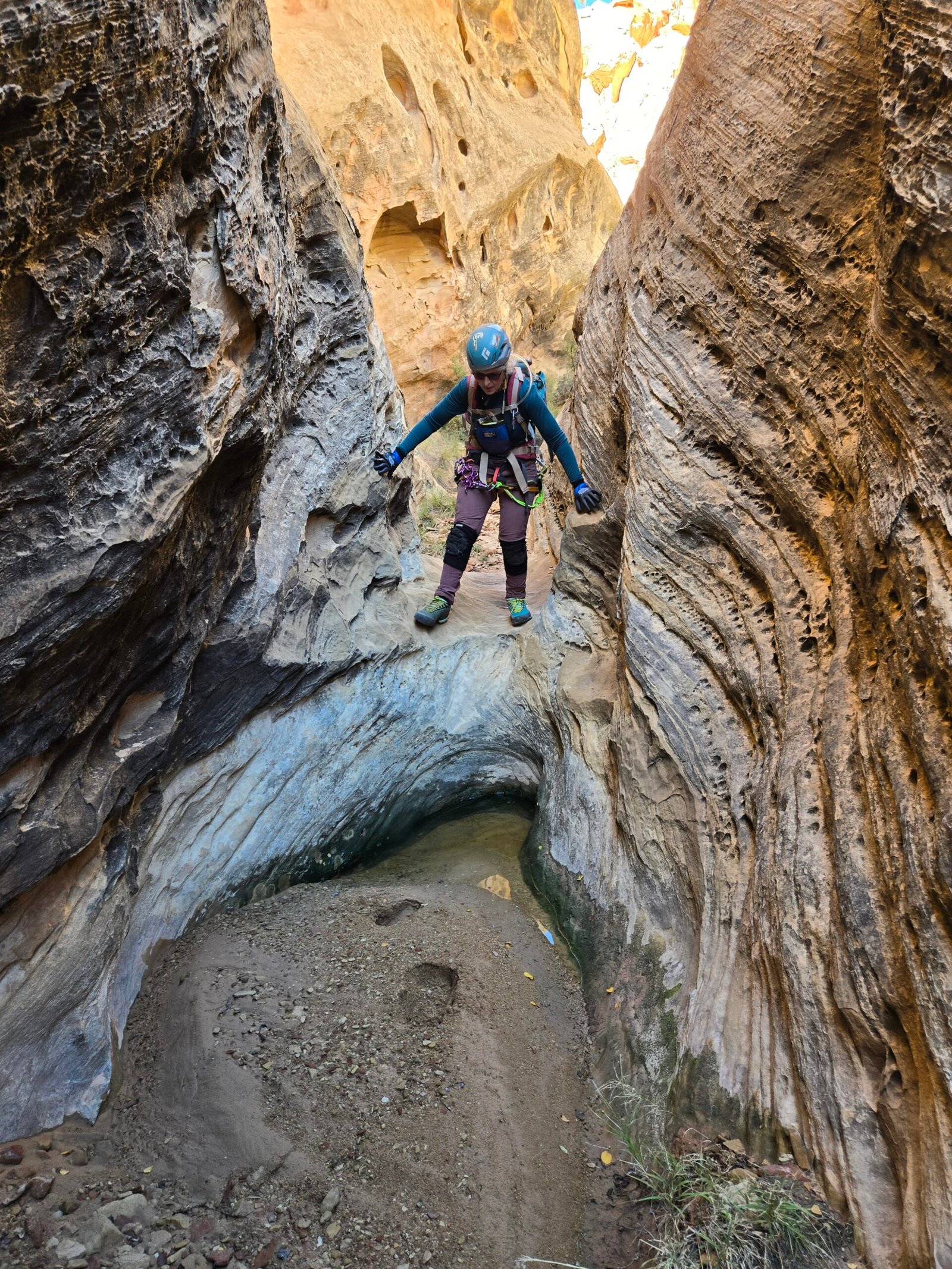
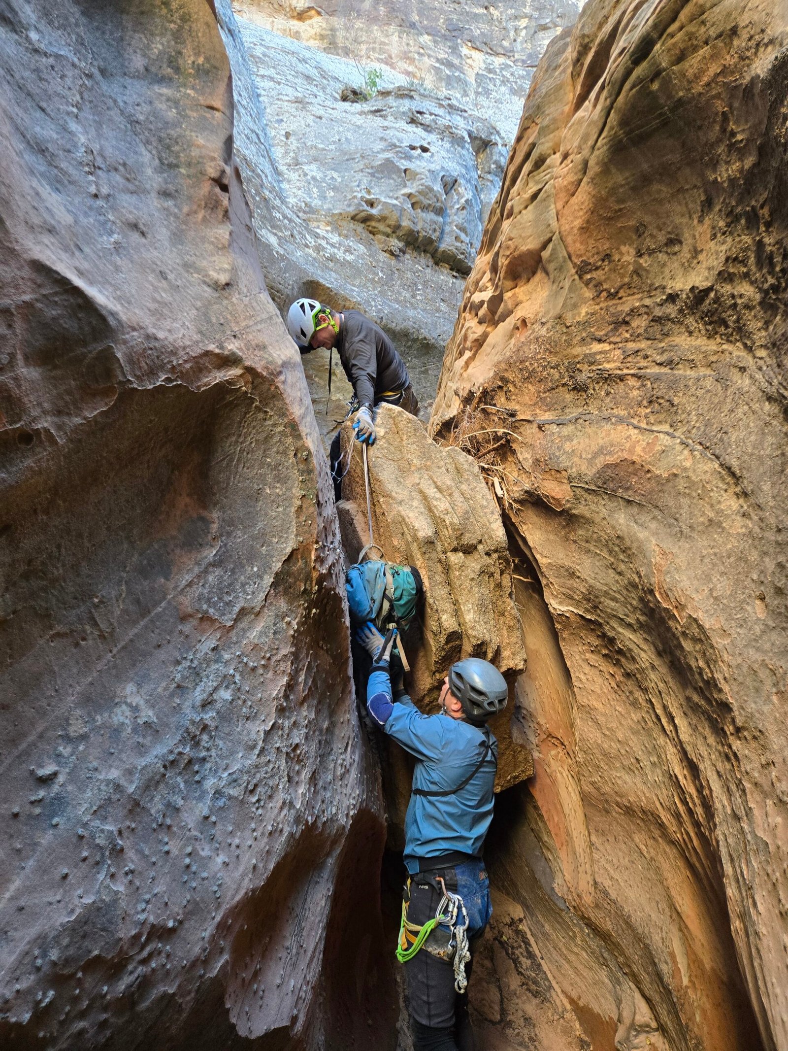
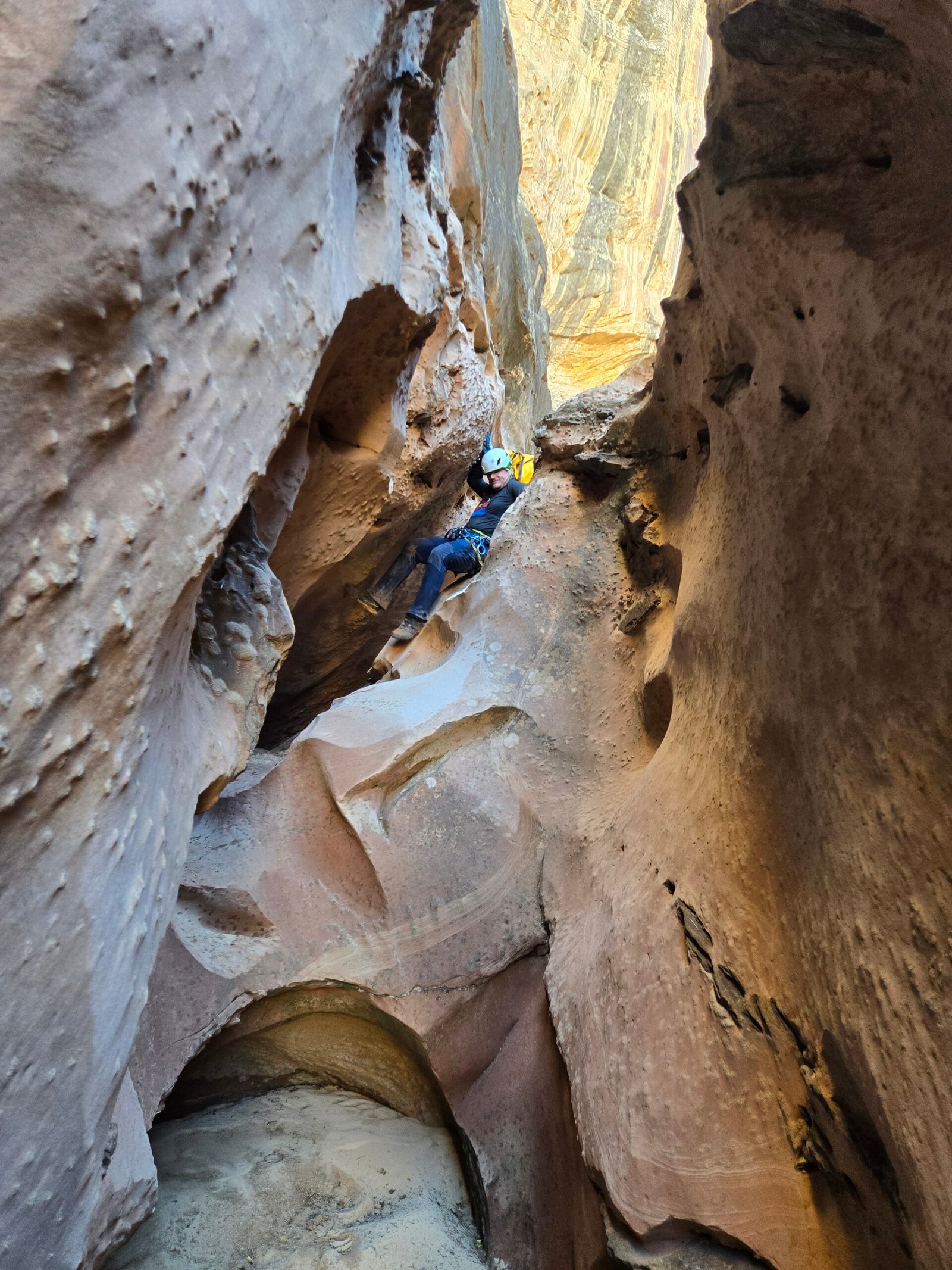
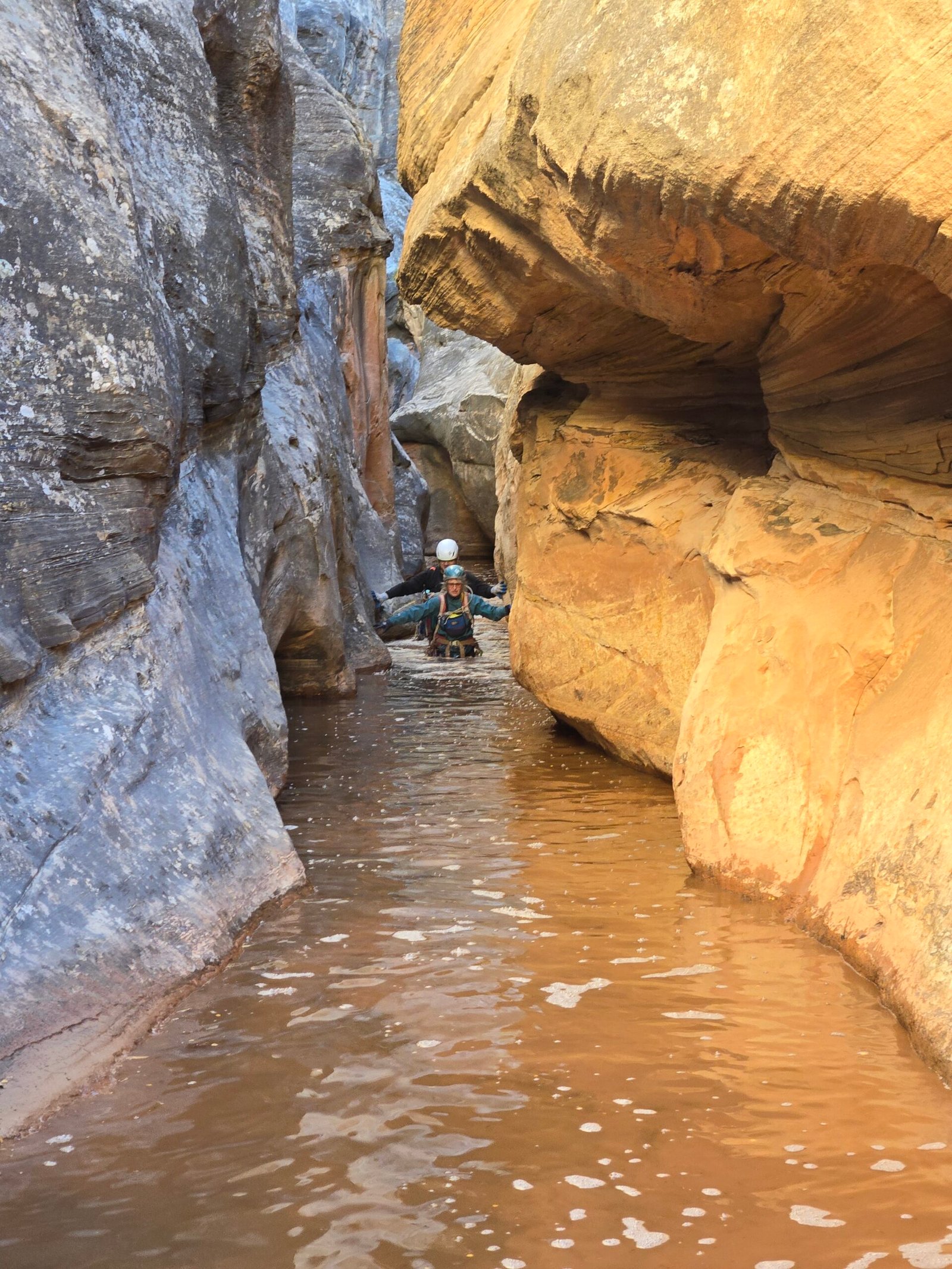
The first rappel of the second slot drops about 140 feet into a deep and narrow chamber, with an indeterminate amount of water on the bottom. The slot was too wide to stem, so a change of wardrobe was warranted. Carol volunteered to go first and dropped into waist-deep water. I followed behind, and that is how Carol and I wound up in the vanguard of this expedition. At this point, the canyon became very North Wash in character: extremely narrow with beautiful curves and continuous downclimbs. Carol and I are both very small and even we had to navigate the narrows without our backpacks. We weren’t sure if Shawn and Max would fit! Forward we went, stemming and sliding down the walls, until we saw a horizon getting closer and dropping off the edge of the world. Obviously, a large drop was up ahead, but no anchors were obvious at all. I told Carol that we might be in deep trouble if there was no anchor building material present, as we did not have a bolt kit on us. At the last possible ledge, right at the edge, I finally saw a chockstone with some old webbing on it. A second chockstone was also present, offering us a luxury of anchoring opportunities. Phew! The drop was about 100 feet down into a narrow corridor leading to a fracture joint with three possible ways to continue. It felt like entering a maze, with very little visibility as to what lay ahead. This area looked like fault lines had created multiple linear corridors.
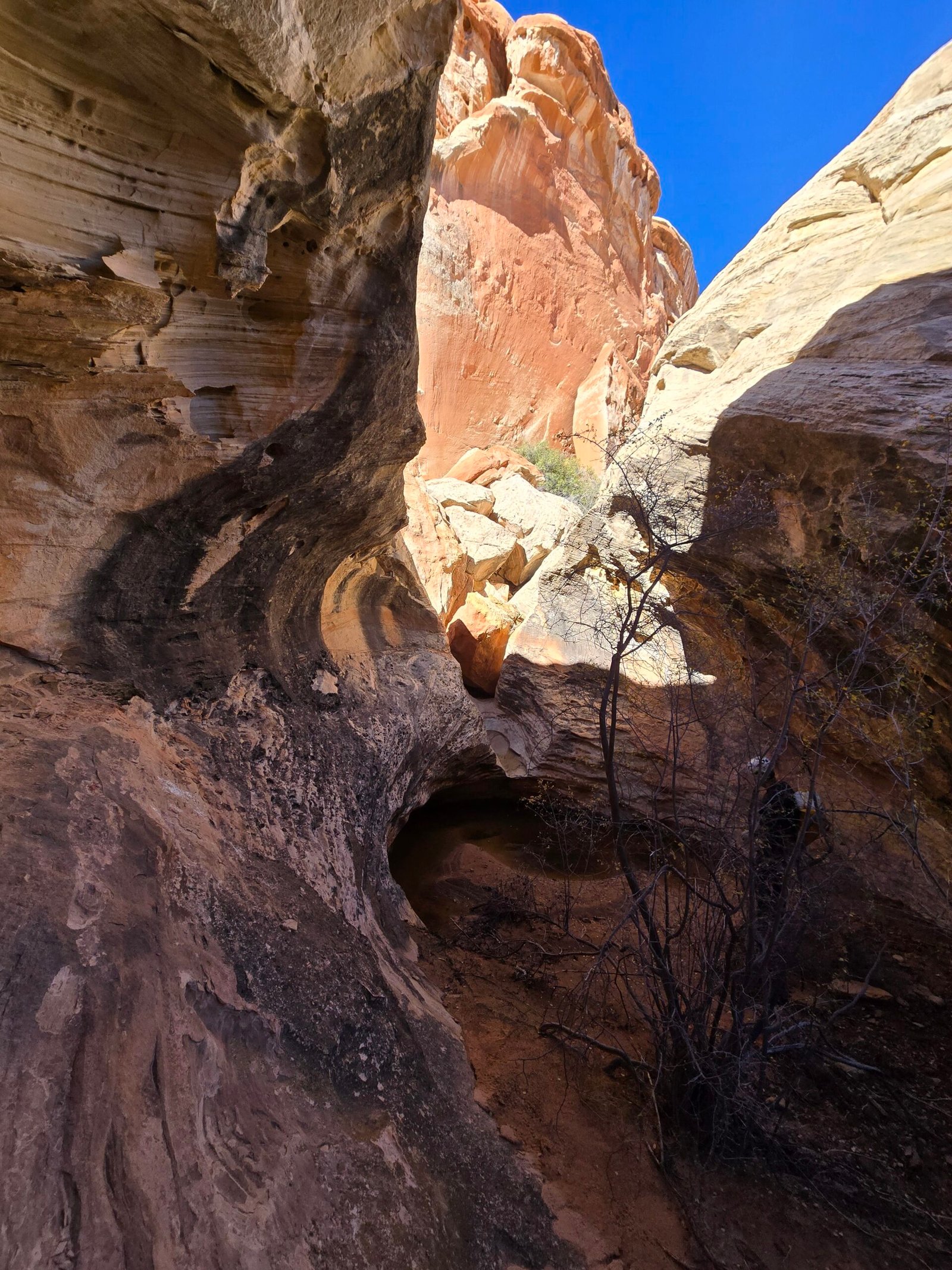
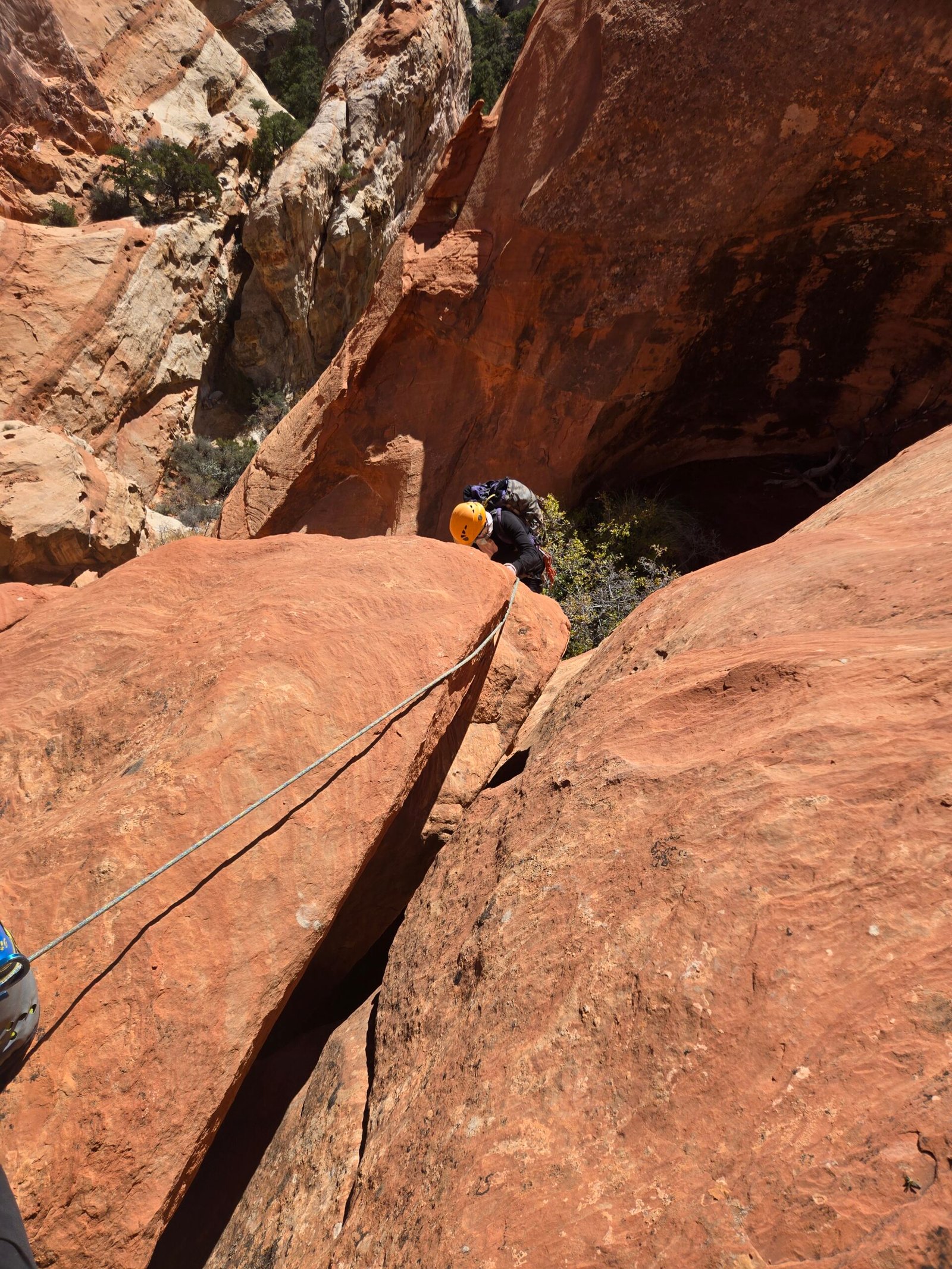
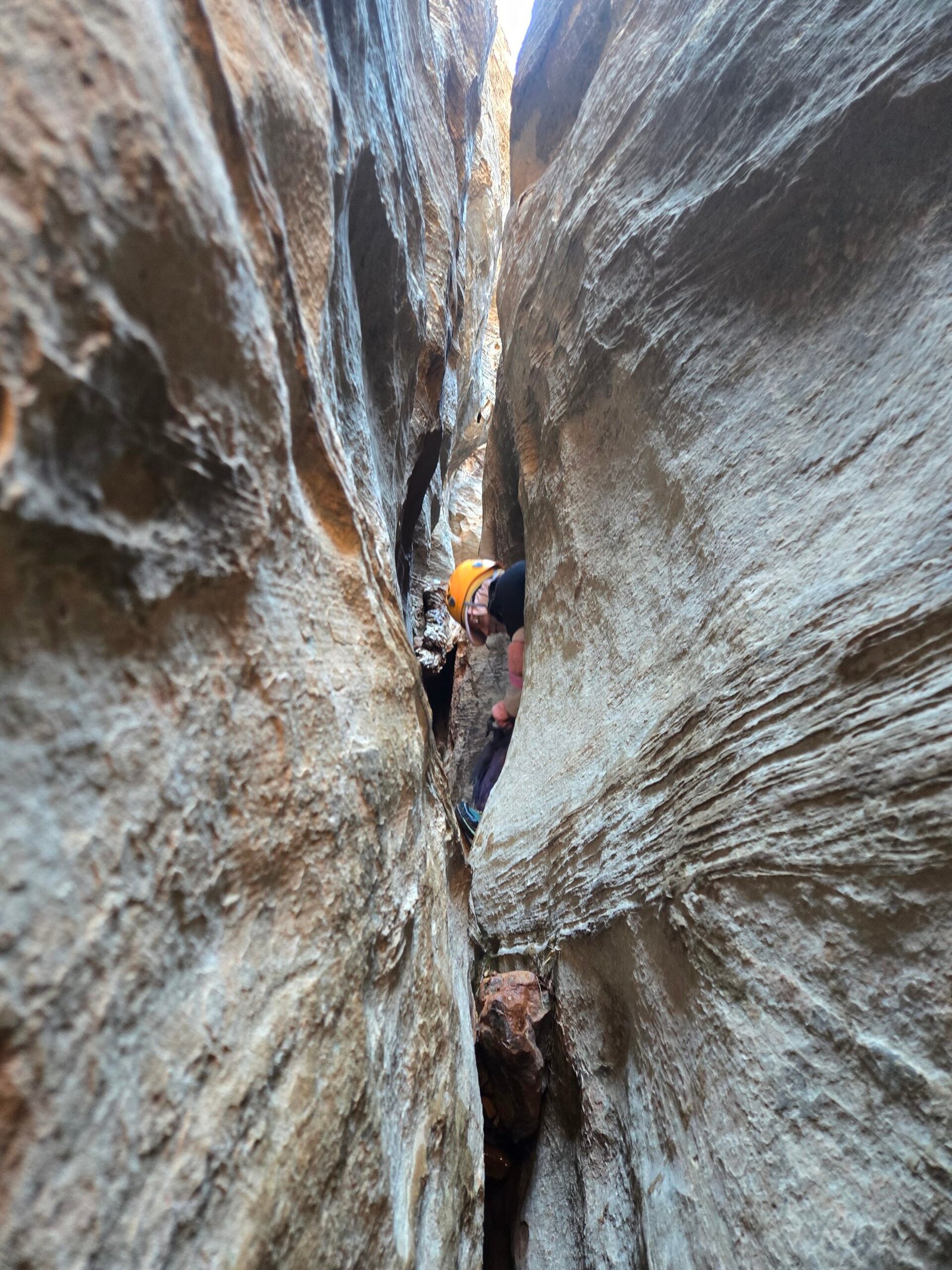
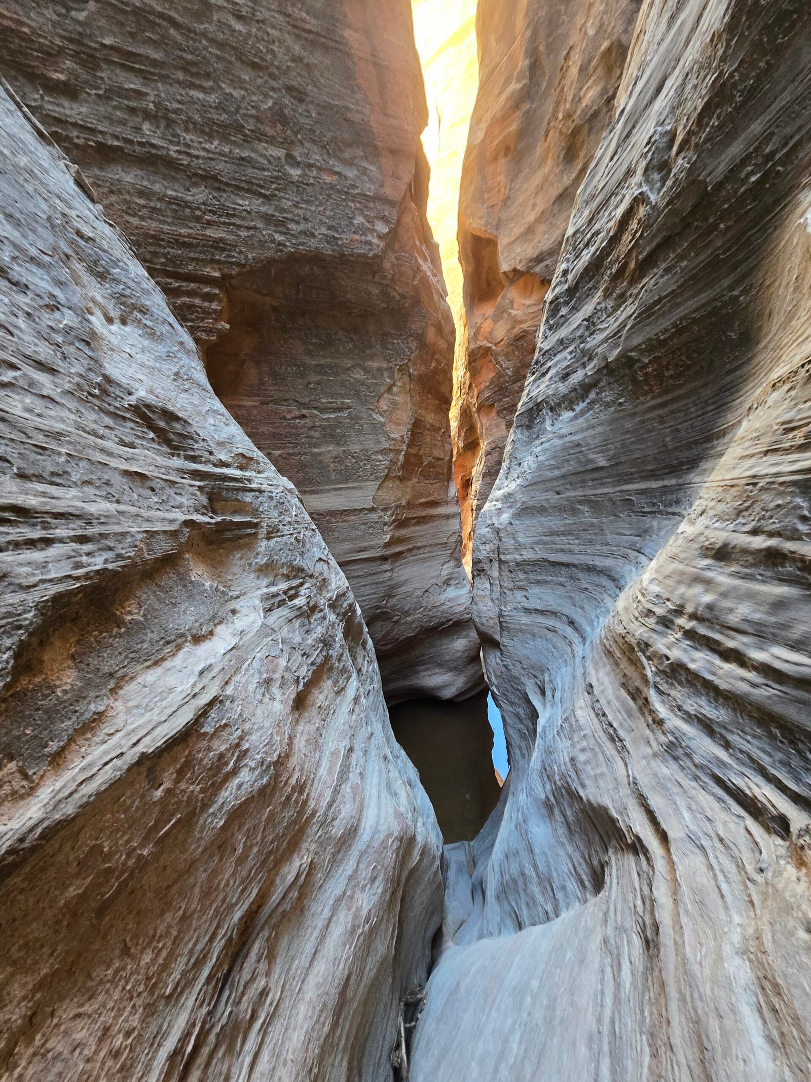
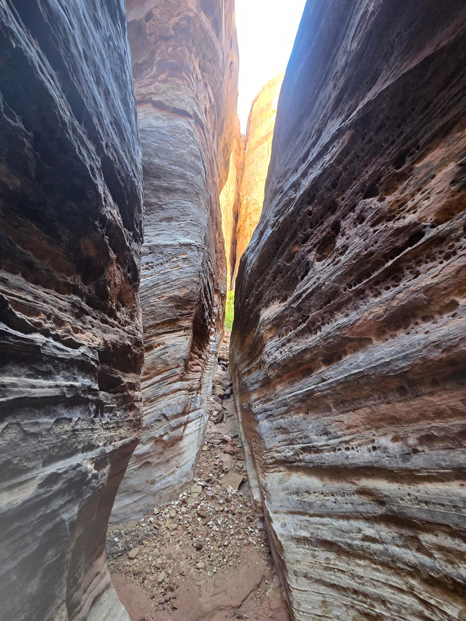
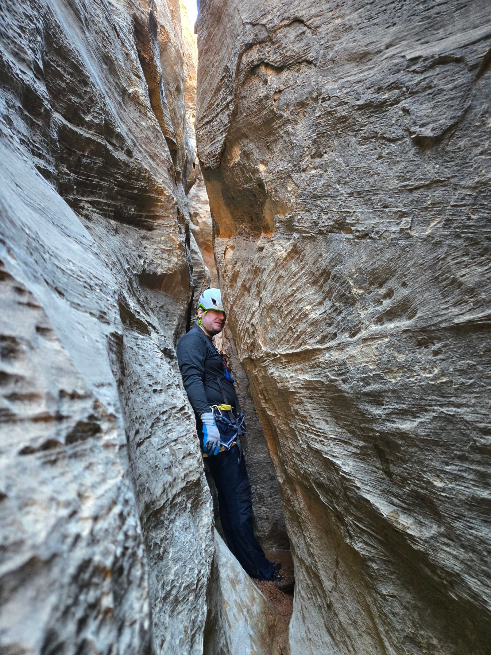
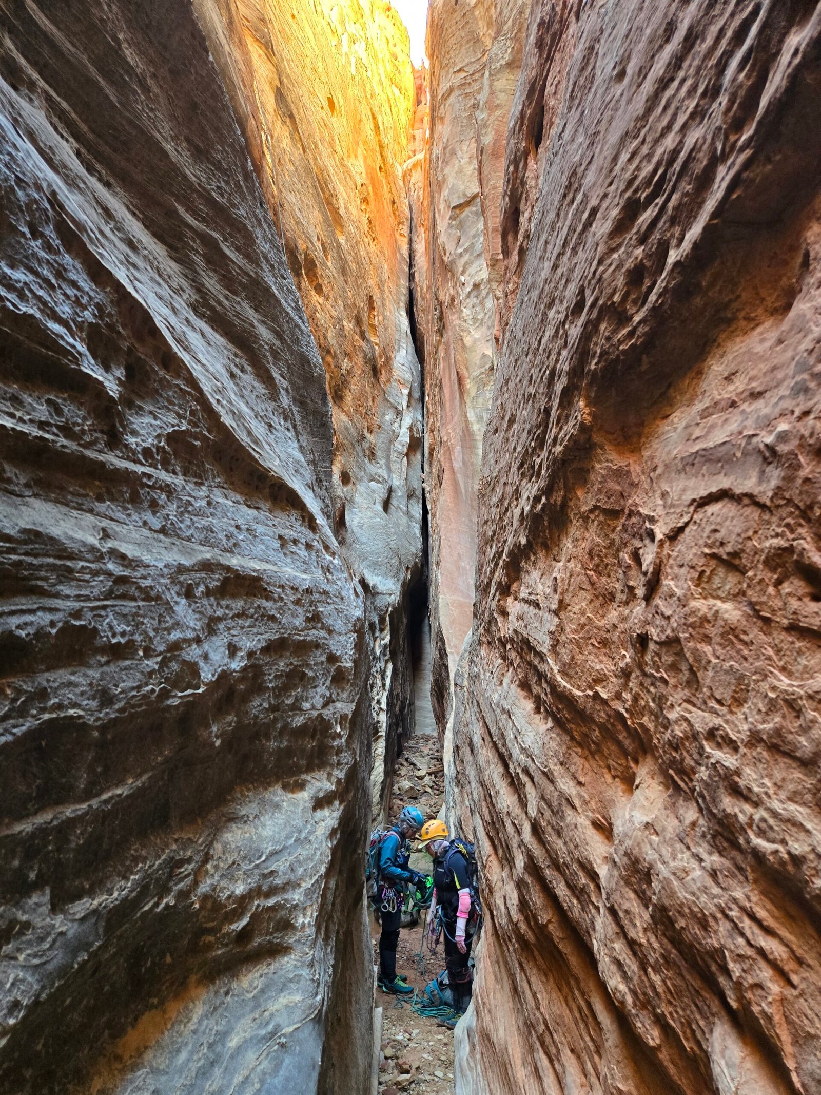
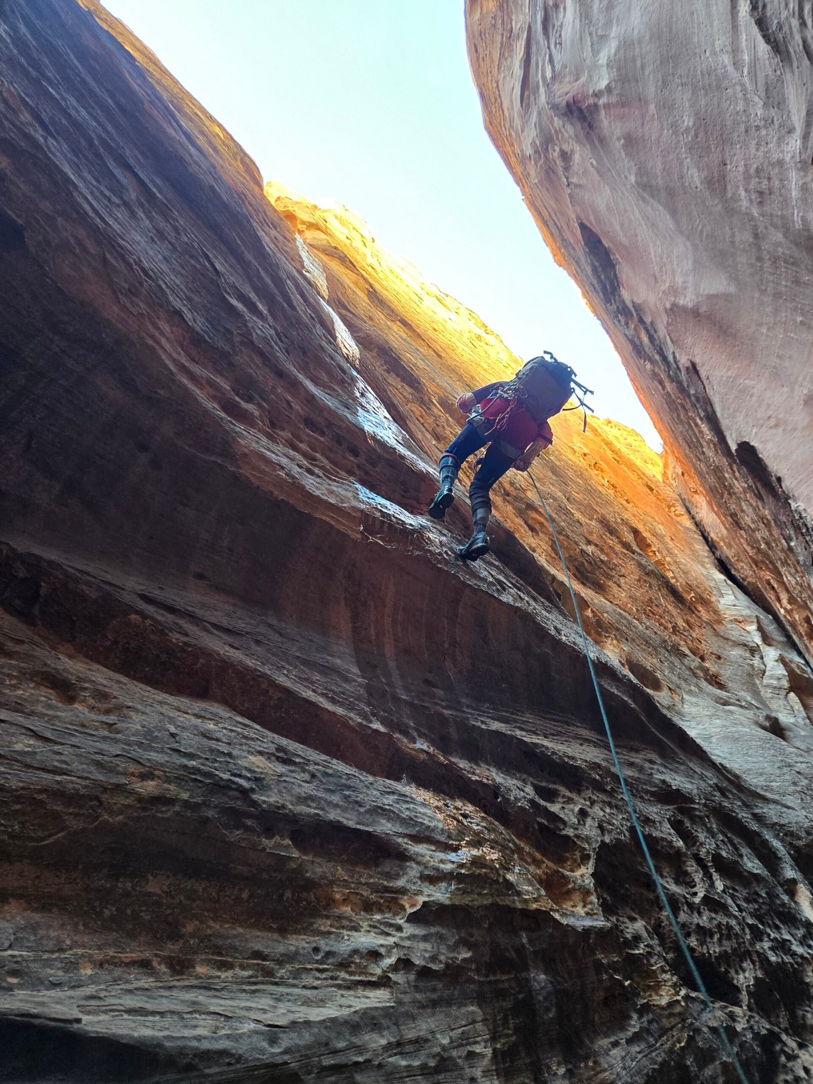
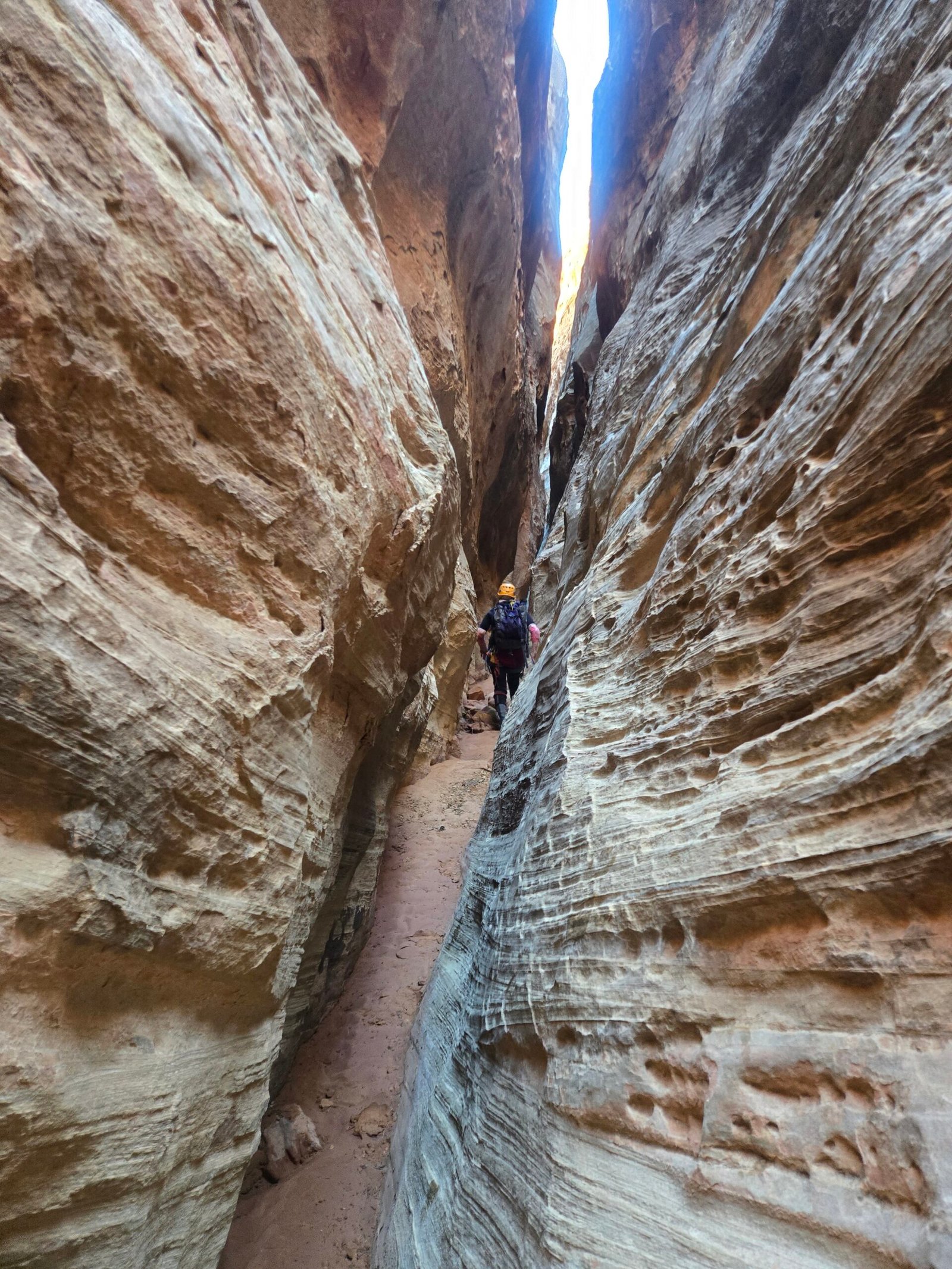
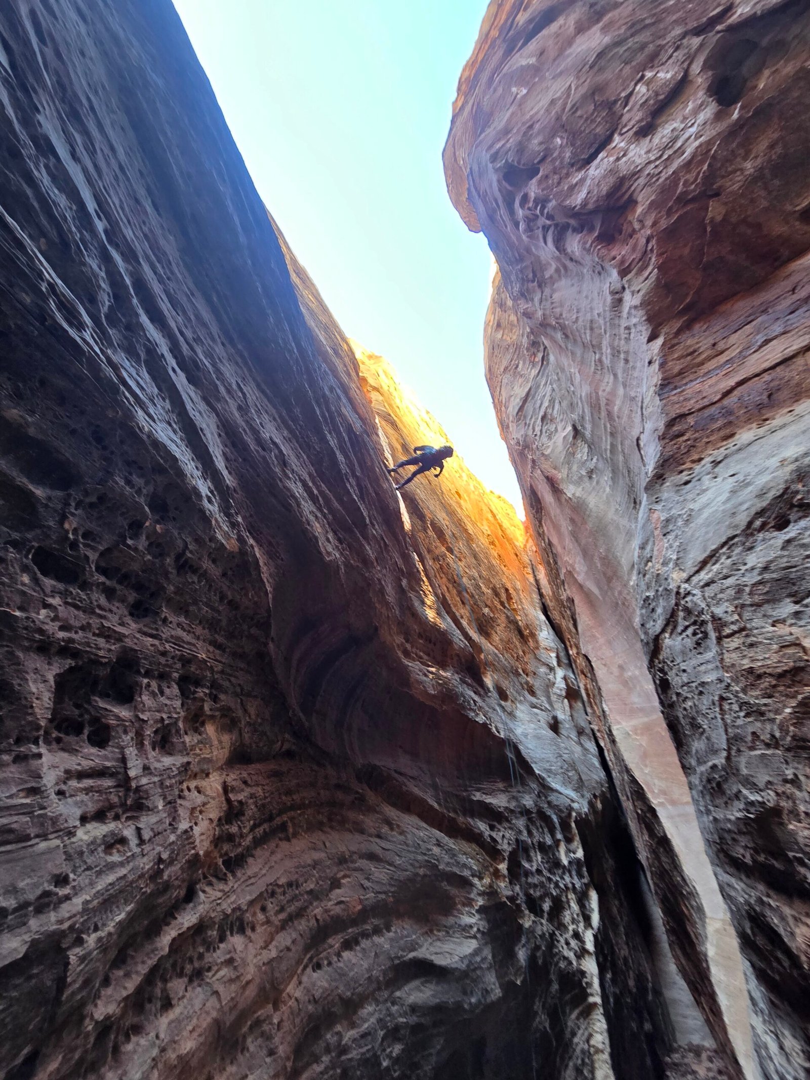
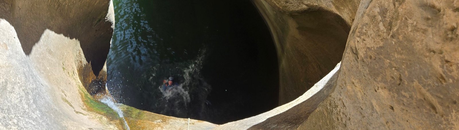
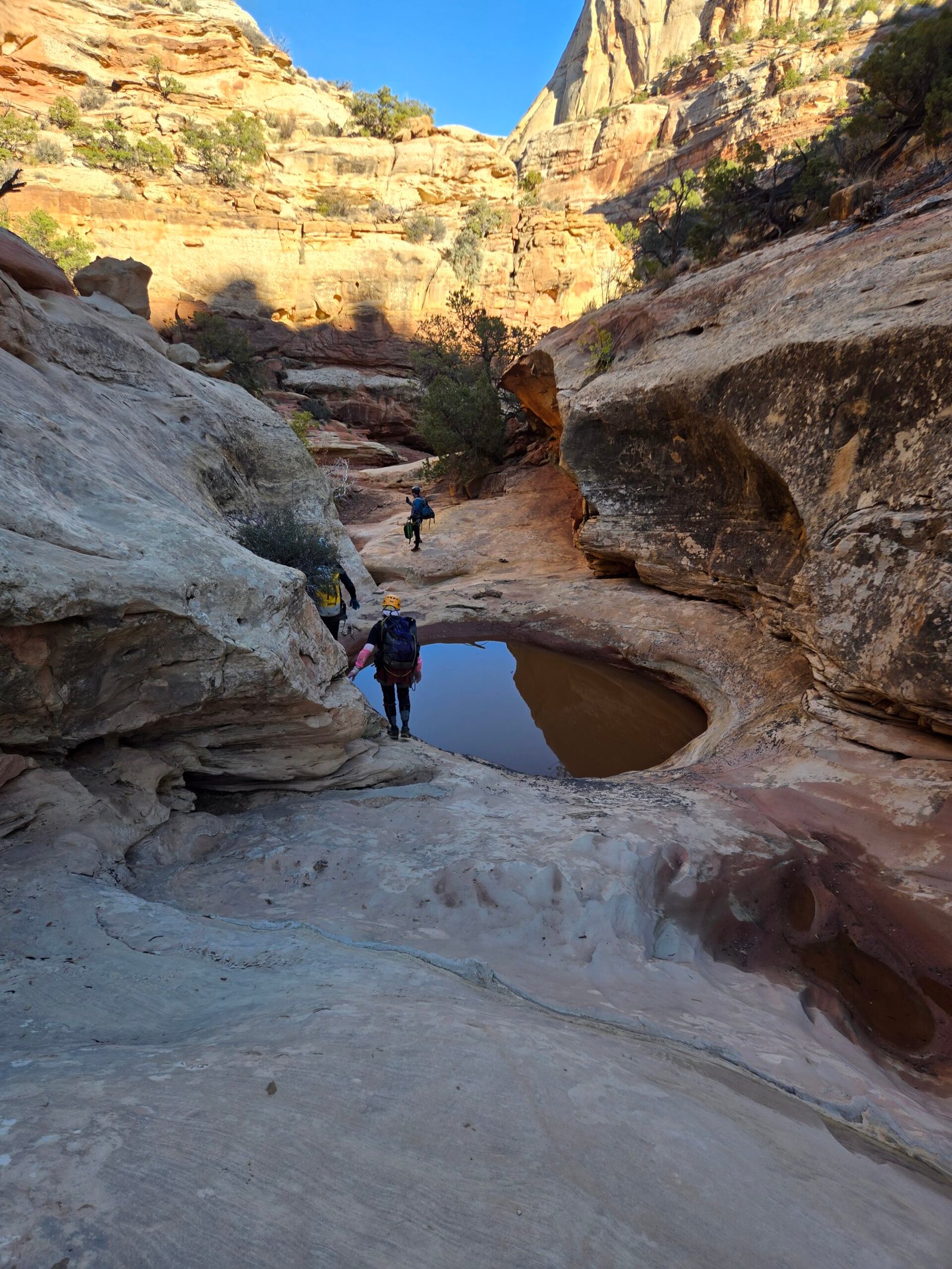
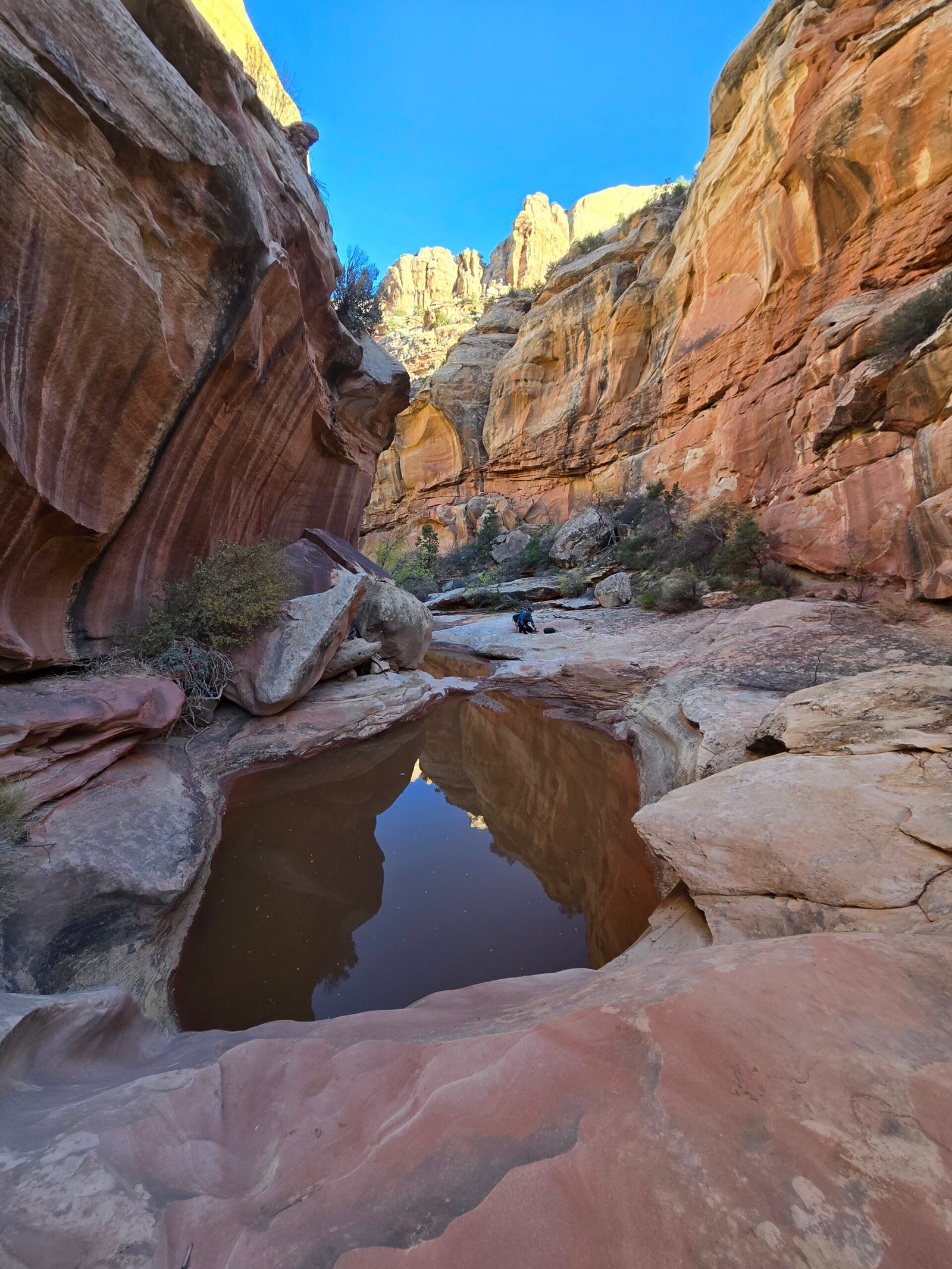
We explored our options and found what we thought was the correct exit. The canyon continued as a tight and dark corridor with beautiful narrows and some easy obstacles. Eventually, it opened up into a wide and gorgeous section of sunlit sandstone walls and deep, beautiful potholes with several short drops which we rappelled, followed by easy bypasses where the potholes were easy to walk around. We had no desire to get wet again on this brisk day. We climbed down through several cliff bands and then the canyon opened up into a wide wash with tall walls, followed by further slot sections. Max and I recognized this canyon as the one we had walked up several years ago on our first visit to Pleasant Creek, which meant we were pretty close to exiting the canyon.
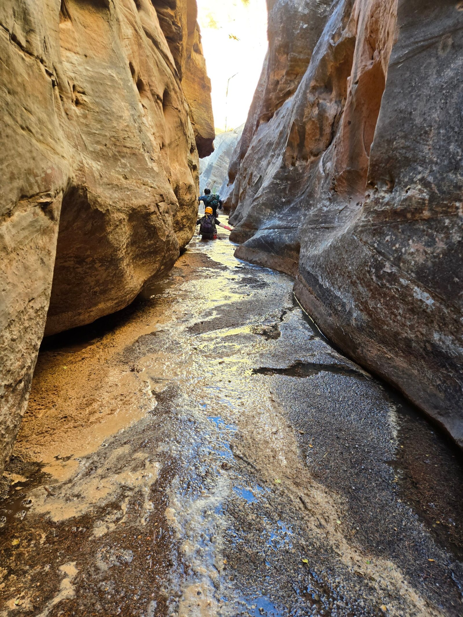
Just as we were declaring victory, Carol, who was leading the way, let out an uncharacteristic squeal. We ran up to see what the matter was and found her waist-deep in what we affectionately call a trash compactor. The mud had devolved into quicksand mixed with all the woody debris that had flushed down the canyon, creating a corridor of nasty decomposing material. It smelled as good as it looked. We all waded through the muck for a few more yards before emerging onto dry land, grateful we hadn’t taken off our wetsuits yet.
After a few more turns of beautiful, slotted narrows, we emerged into sunlight and soon reconnected back to Pleasant Creek, at which point we removed our grimy wetsuits. It was getting towards the end of the day, and we still had about 2.5 miles of walking along the creek with several crossings to get back to the trailhead. We got our hustle on and made it back around 6:30pm, just before sunset. It was a tiring but glorious 10-hour expedition through some challenging and beautiful landscapes, in one of the most geologically interesting places on earth. Needless to say, we never saw a single other soul all day.