Deep in the middle of the desert, in the heart of the Paria Canyon-Vermilion Cliffs Wilderness, down some very sketchy sandy roads, lies an amazing place called the South Coyote Buttes. The only way to really describe this magical place is to imagine Dali and Gaudi getting together and directing sandstone erosion for a few million years. There are bright colors, crazy shapes, beautiful views.
South Coyote Buttes is adjacent to another area you might have heard of called the North Coyote Buttes, also known as “The Wave”, that we have visited before several times. South Coyote Buttes is a fantastic alternative to The Wave, which is extremely difficult to get into. It also requires a permit, but is much easier to obtain, especially in the winter months when visitation is down. To obtain a permit, you have a couple of options. You can join the general lottery four months in advance, or if you are physically located in certain areas such as Kanab, UT or Page, AZ, you can play a daily lottery for permits two days in advance. Lottery information is located here: Coyote Buttes South | Bureau of Land Management (blm.gov).
To reach the area, you will need a high-clearance four-wheel drive vehicle as roads are very sandy and not maintained. Please do not try to make it there in an AWD vehicle as it is risky at best (ask me how I know!). There are no signs posted and the roads are a maze, so be sure you have good navigation and know where you are going. This is a great link to a map of the area and some of the landmarks: Coyote Buttes South – Google My Maps. The best time to go is when the weather isn’t too hot (avoid the summer months) and sand is damp after snow or rain. However, be aware that House Rock Valley Road is unpaved and many parts have a bentonite clay substrate, which becomes impassable when wet, even with four-wheel drive. You do not want to be stuck here if rain of snow is in the forecast. There is also no cell phone service and if something happens, chances are high you won’t be able to call for help. Be prepared to change a tire, bring extra water and food and be sure to have a traction board or mat with you for deep sand. It’s also a good idea to air down your tires before commencing the sand drive. If all of this scares you, there are many tour companies in the area who can take you on a tour and do all the driving for you.
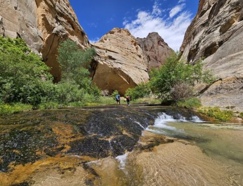
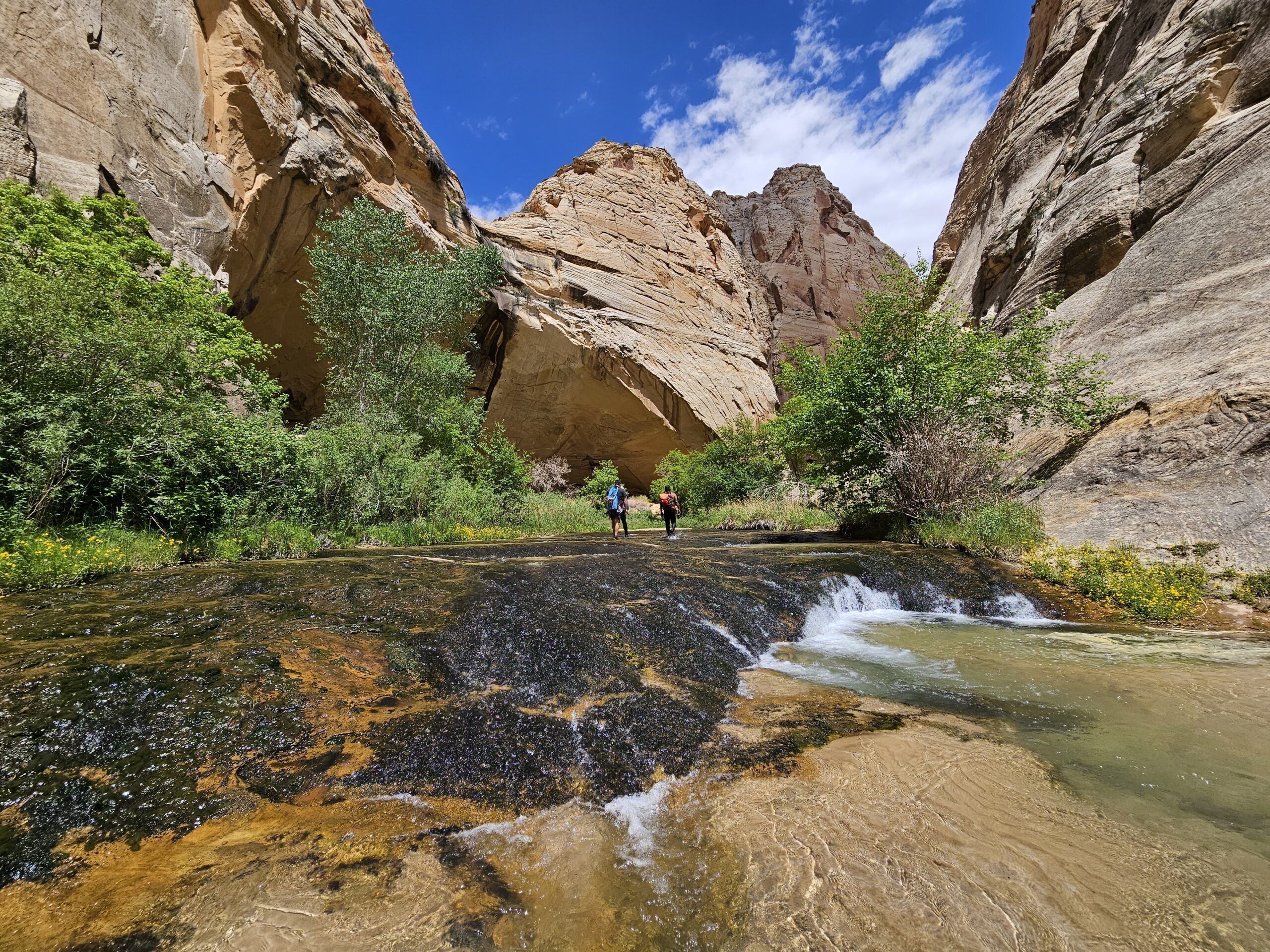
Max and I decided to revisit this gem in the winter, after one of our snowstorms for better traction. Although the area is huge, you can hike as much or as little as you like. There are two main access points into this area: the Pawhole trailhead and the Cottonwood trailhead, which are located on opposite ends of the area. Pawhole is on the southwestern side and Cottonwood is on the northeastern side. I recommend avoiding the Pawhole trailhead due to very deep sand and steep uphill on that road. We started at the Cottonwood trailhead, so these photos are from that area. There is no marked trail and a lot of topography to navigate, so you can wander around the area and create your own trip but be sure to bring an app that is tracking where you are going so you can return to your car safely. It’s a good idea to get here early and spend the day if possible as there is so much to see.


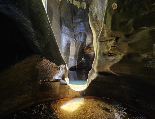
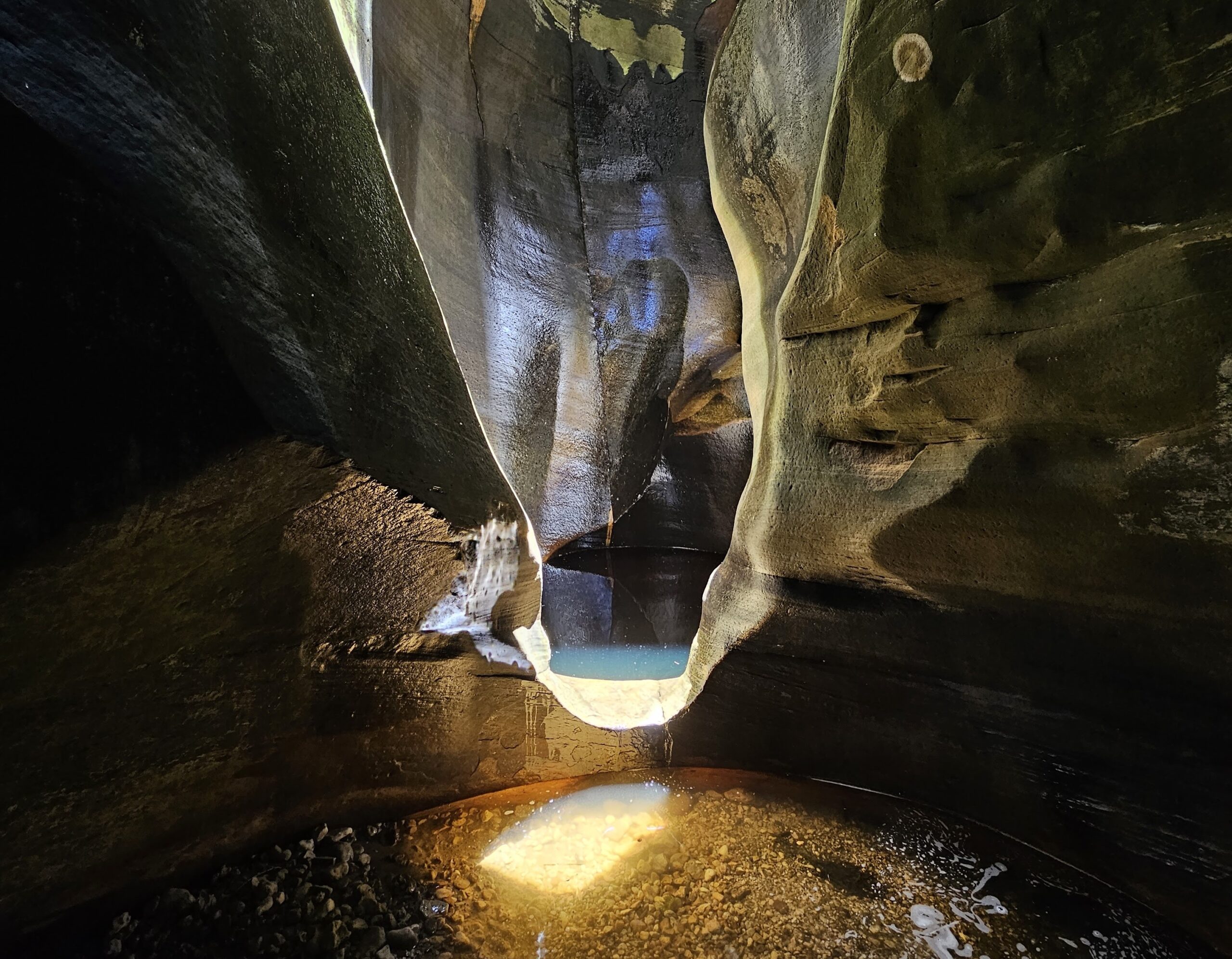
The day we went, there was snow on the ground, forming very cool crystals. There was also water frozen in potholes, illustrating one of the forces that contributes to creating these potholes: freezing and thawing cycles.


One of the first stops on our tour is the half and half rock, located fairly close to the trailhead. This is one of my favorite formations, even though it’s fairly small. This amazingly colorful rock is half yellow and half pink, with a distinctive line going right down the middle. You can also see that the stripe continues further up the landscape, painting the whole area yellow on one side and pink on the other. It’s an amazing example of the freakish precision of nature.

There are two named rock formations in the area that are very interesting. One is called the control tower or Dali’s rock. The other is called the witch’s hat and looks just like the name!


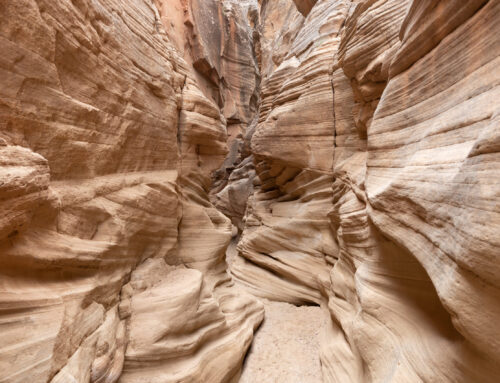
The next formation that is very worth visiting is called the Southern Wave and is a much smaller version of the famous “Wave” formation in the North Coyote Buttes. It shouldn’t be surprising that there are multiple similar formations in this area, but it’s still amazing to come across one of these incredibly scenic waves.

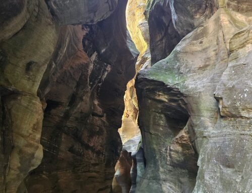
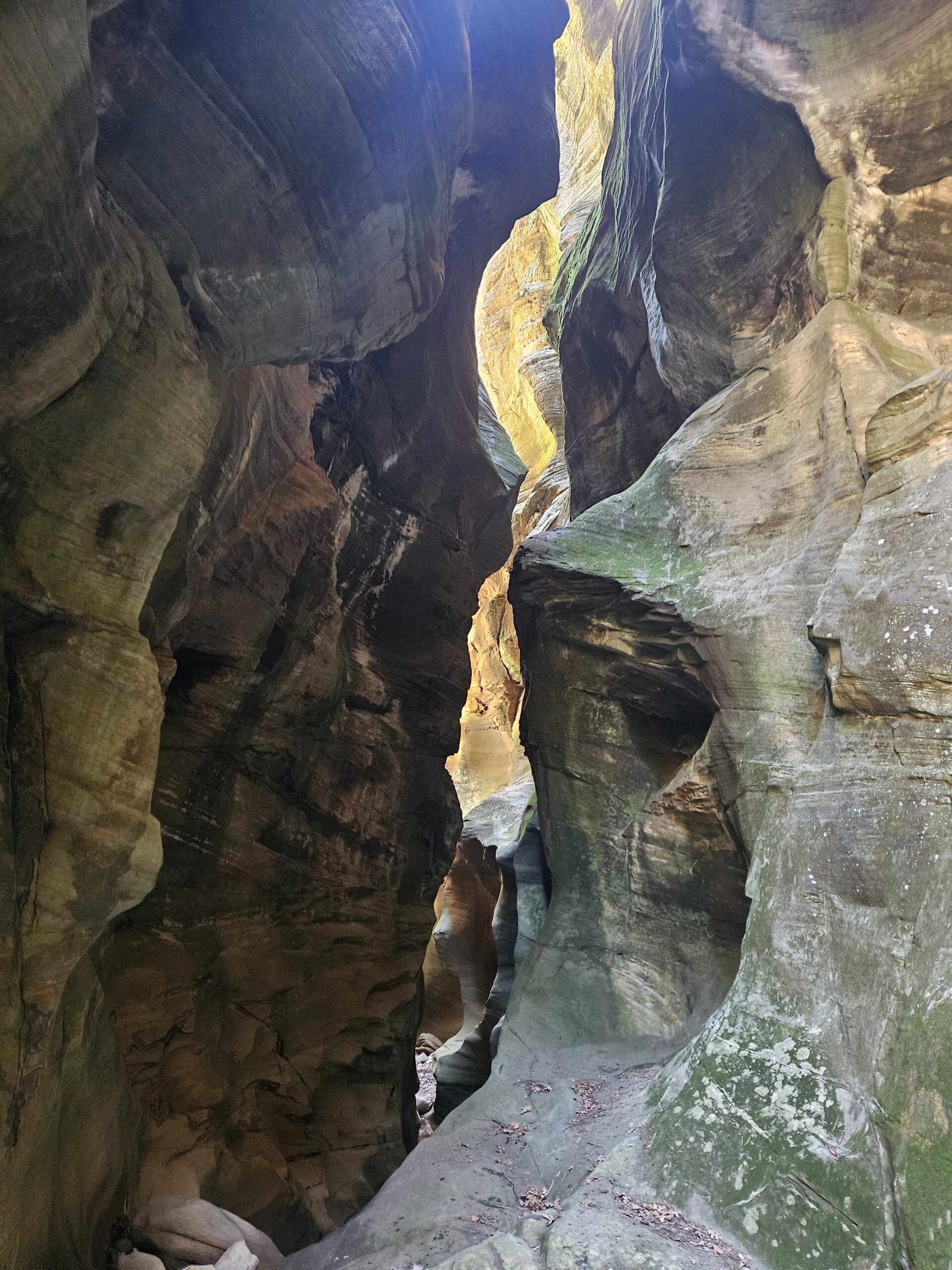
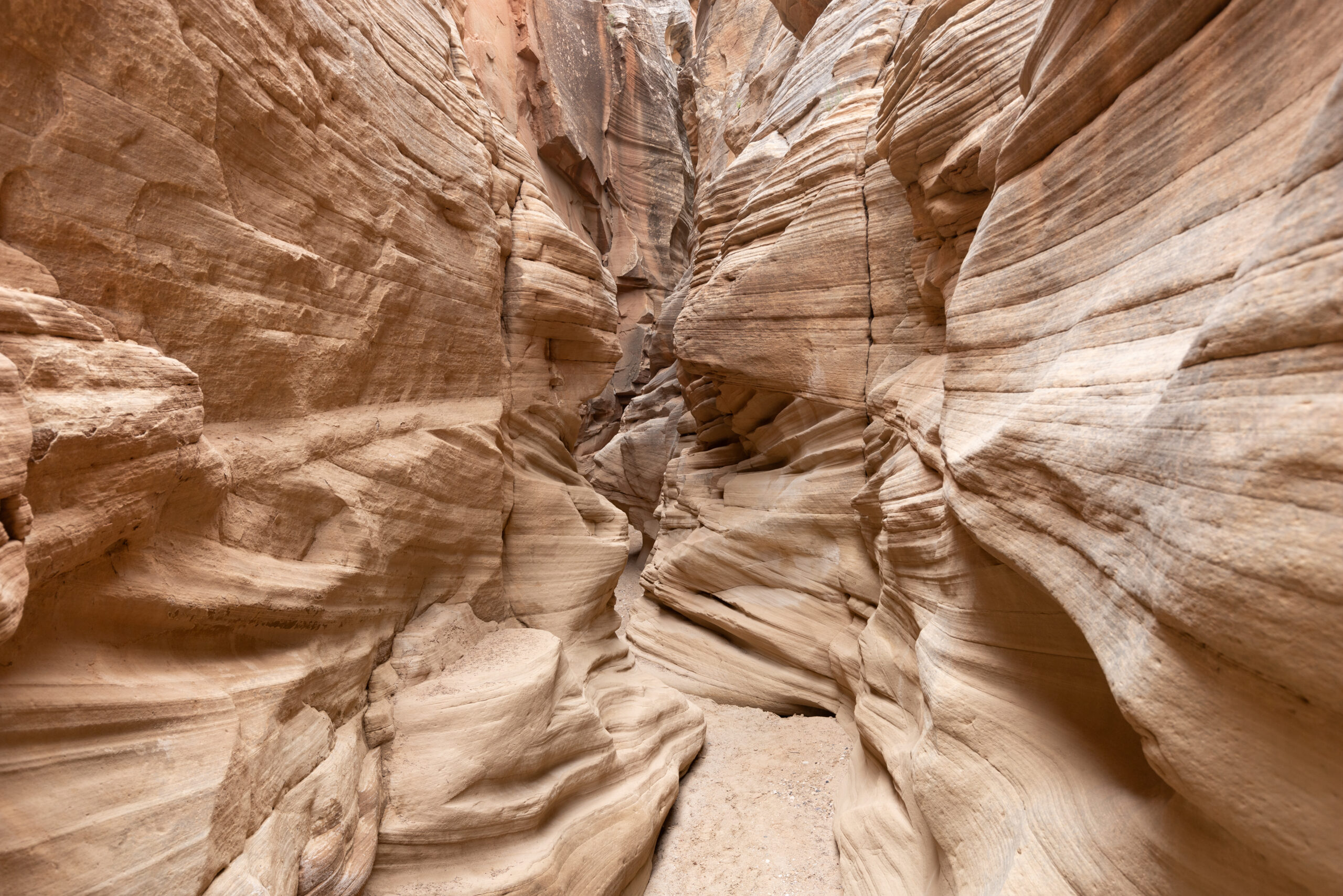
There are two things that will strike you as you wander through this area – the shapes and the colors of the rocks. Both are incredible. The colors include swirls of bright yellows, pinks, oranges and reds, mixed with whites. The shapes of the rocks are otherworldly.


This particular hike was about five miles round trip and took us about four hours to complete. It focuses on some of the most popular and scenic formations in the area, but there is so much more to explore around every corner. Every time we go to this area, we do a different route. The area looks very different in the winter than in the spring or fall and is worth visiting in each of the seasons (except for summer when it’s too hot!). We were very lucky to see snow and frozen potholes this time around as it really added to the mood of the day with overcast skies and a winter light.
Very nice collection of photos. I’d really like to talk to you about your experience in SCB as I am heading there in May. Please call me if you are willing.
Thanks!