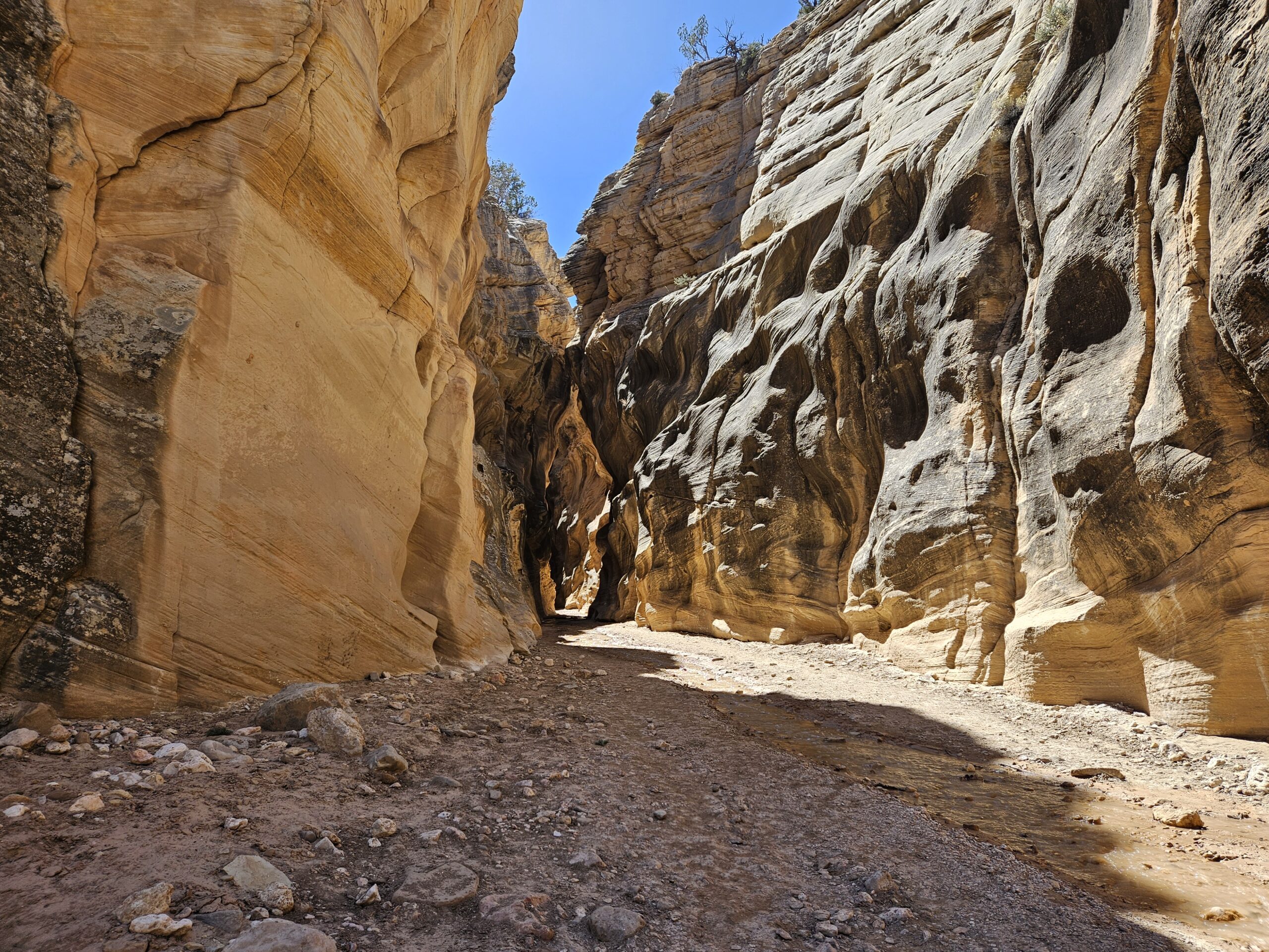
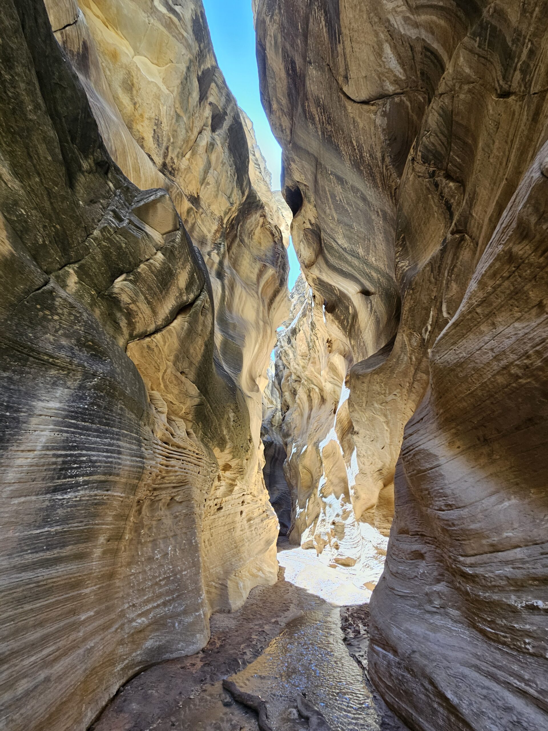
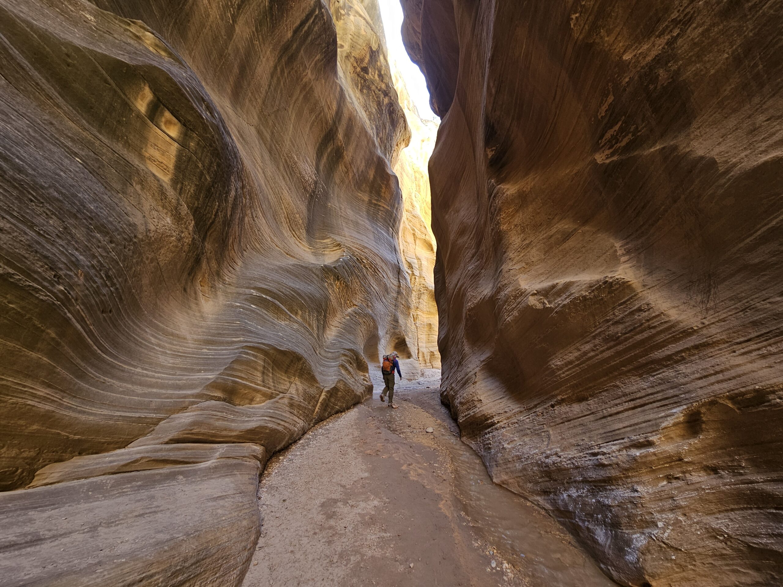
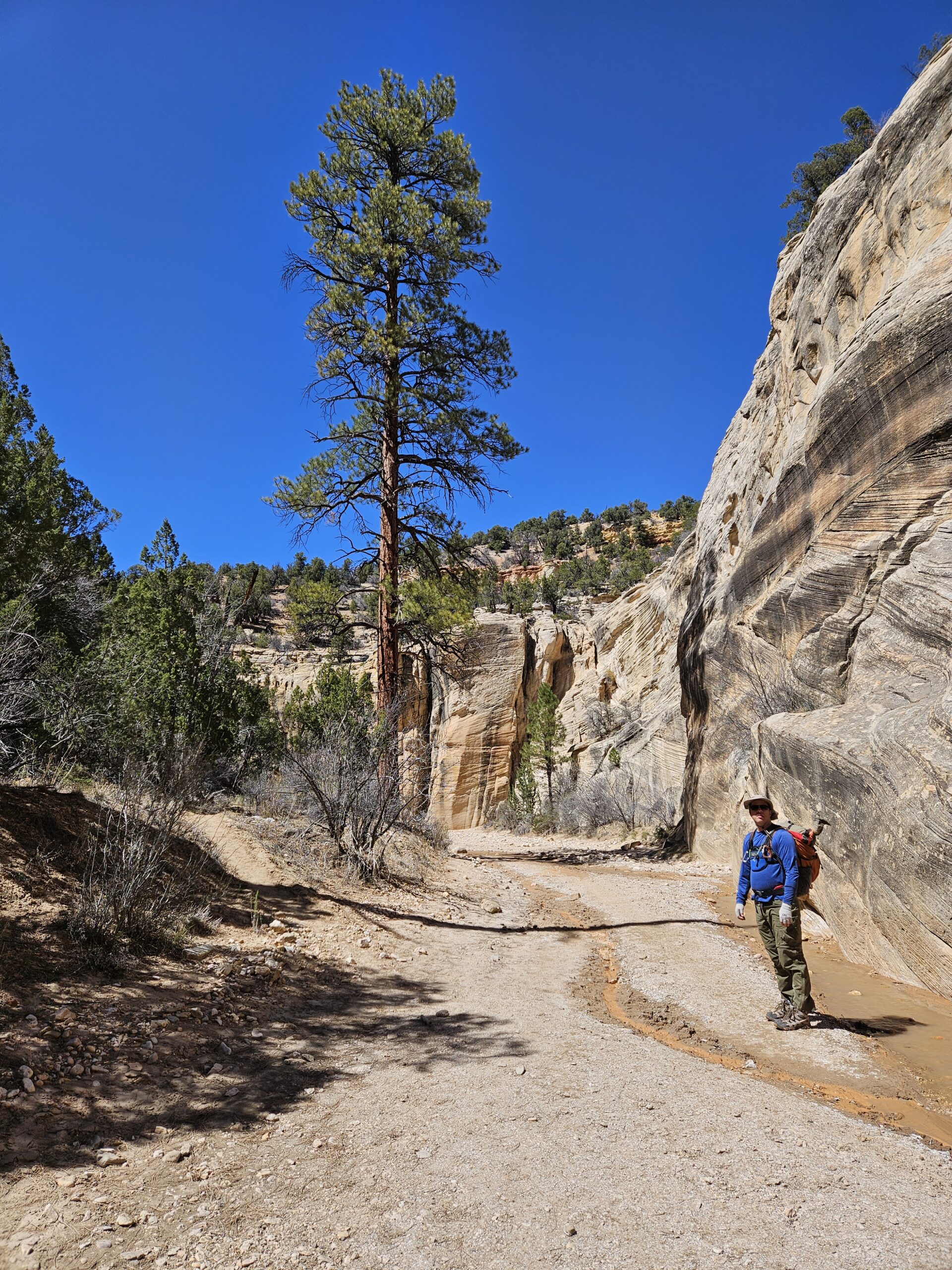
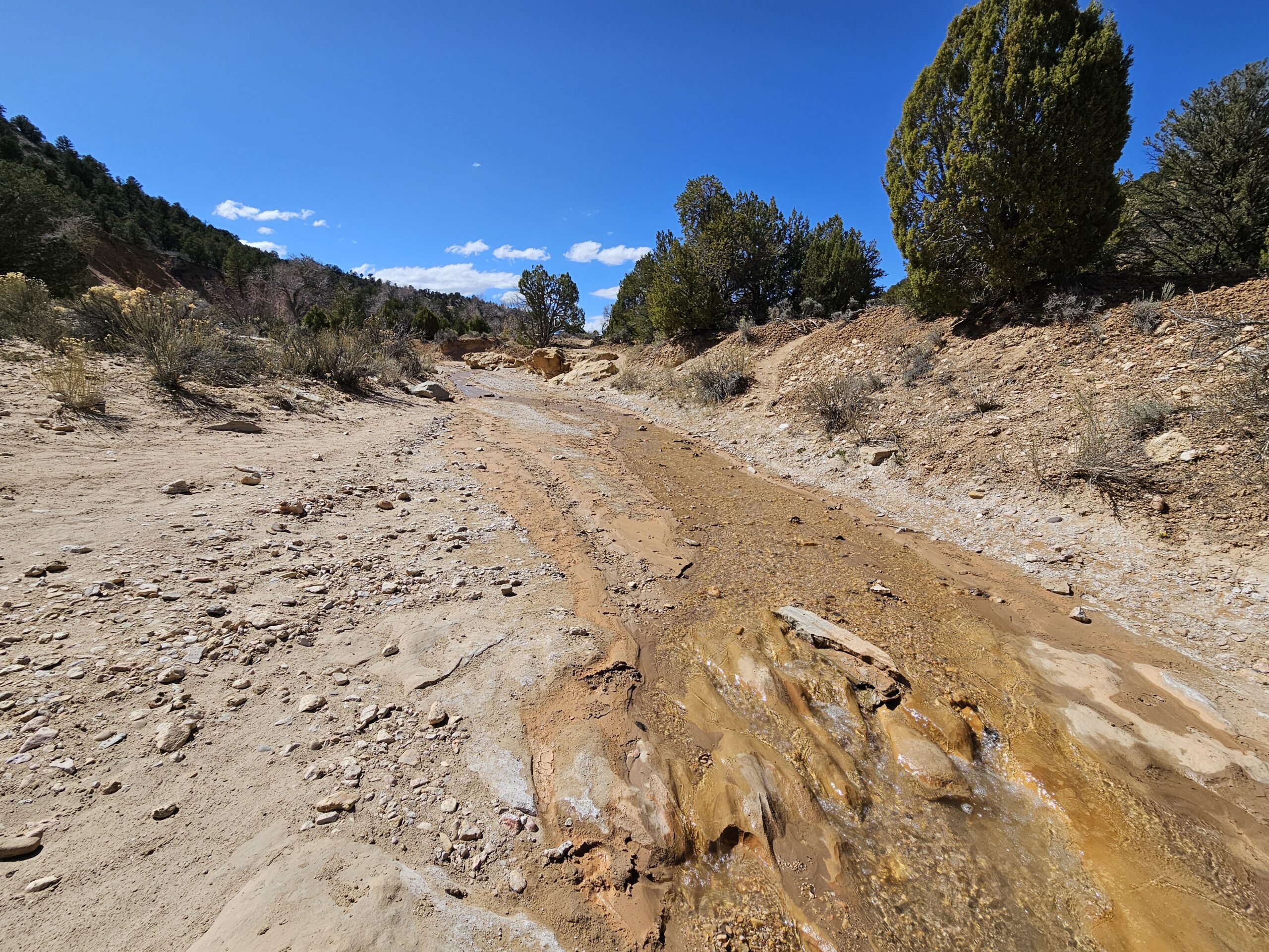
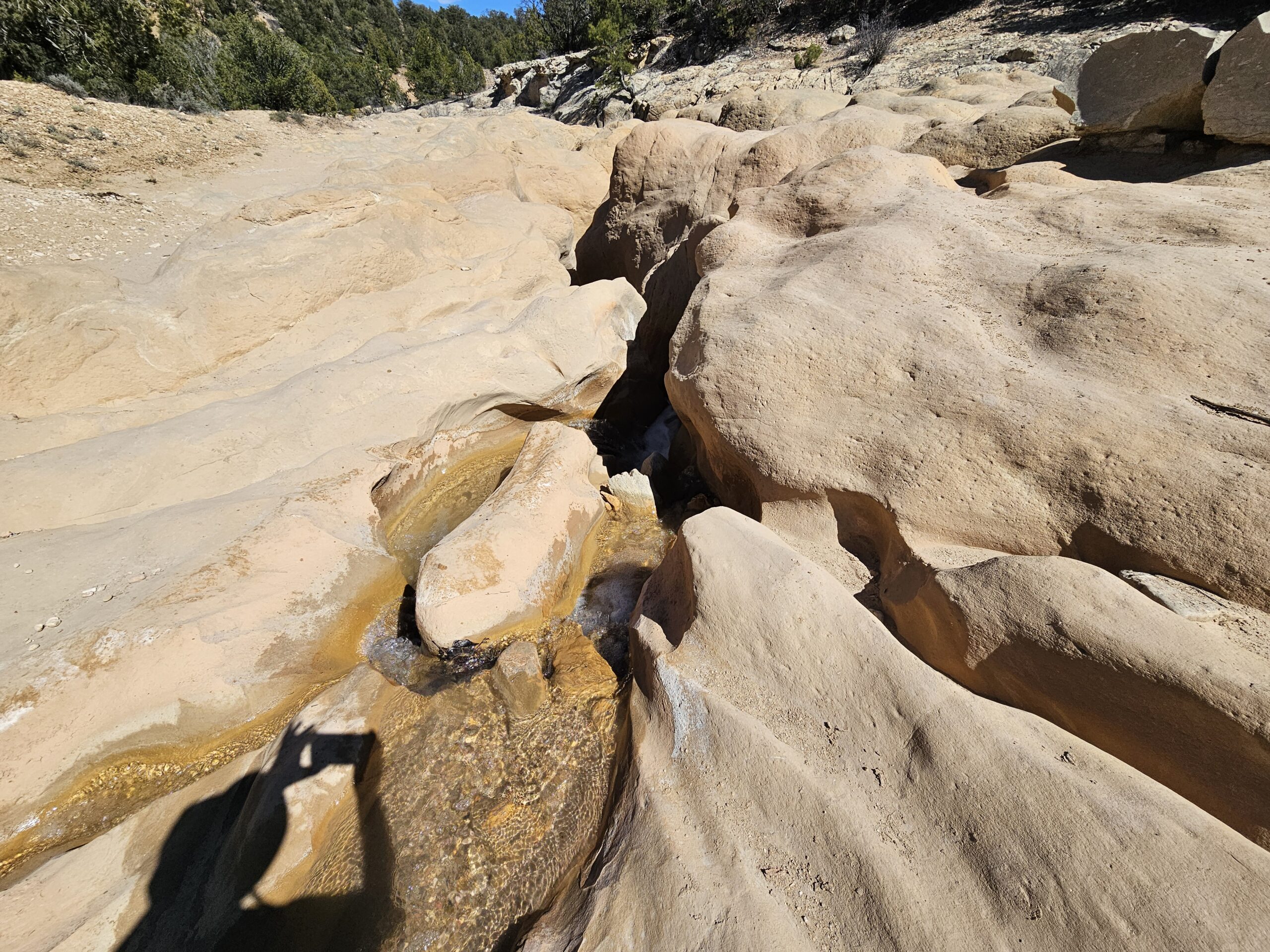
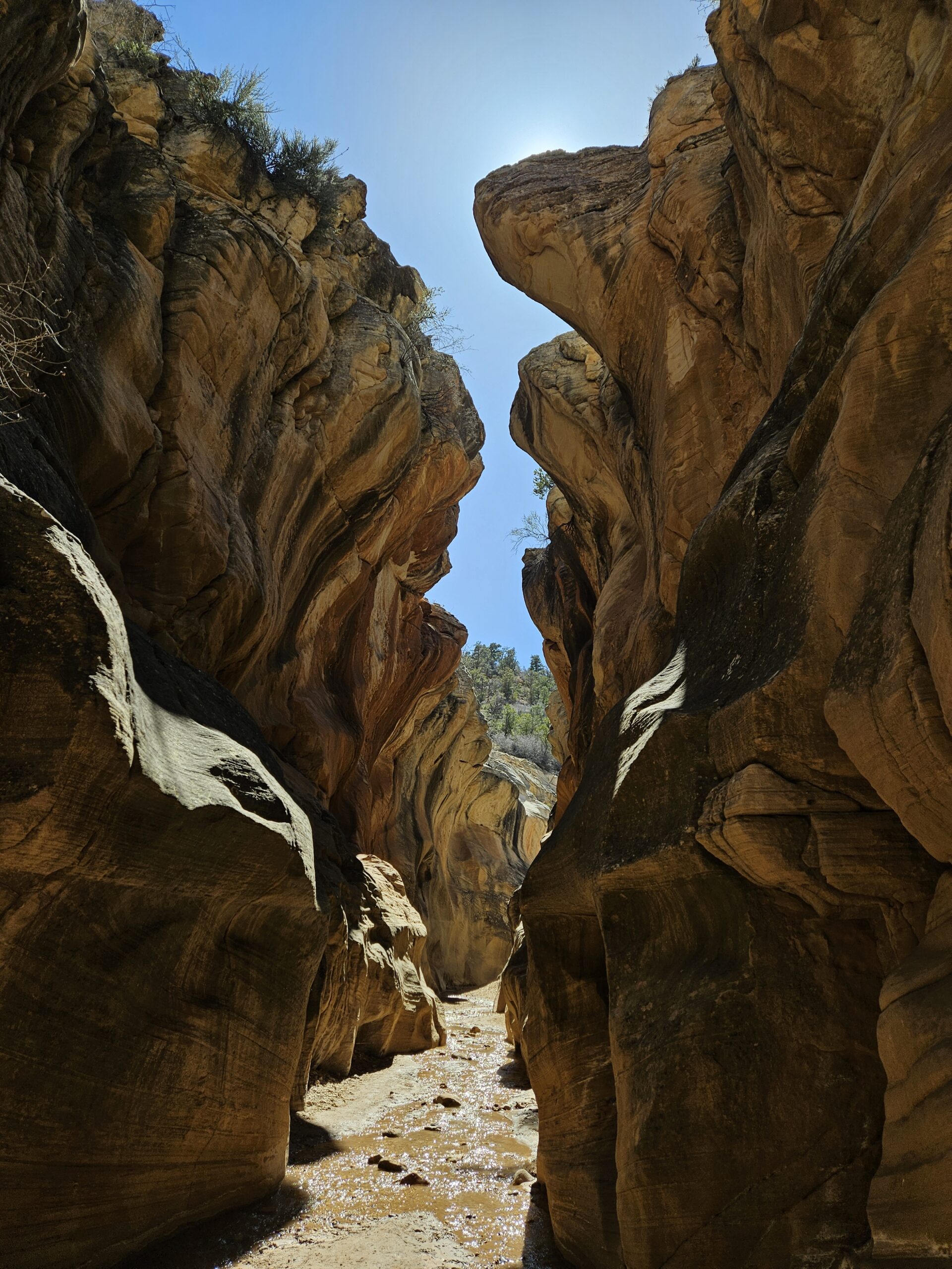
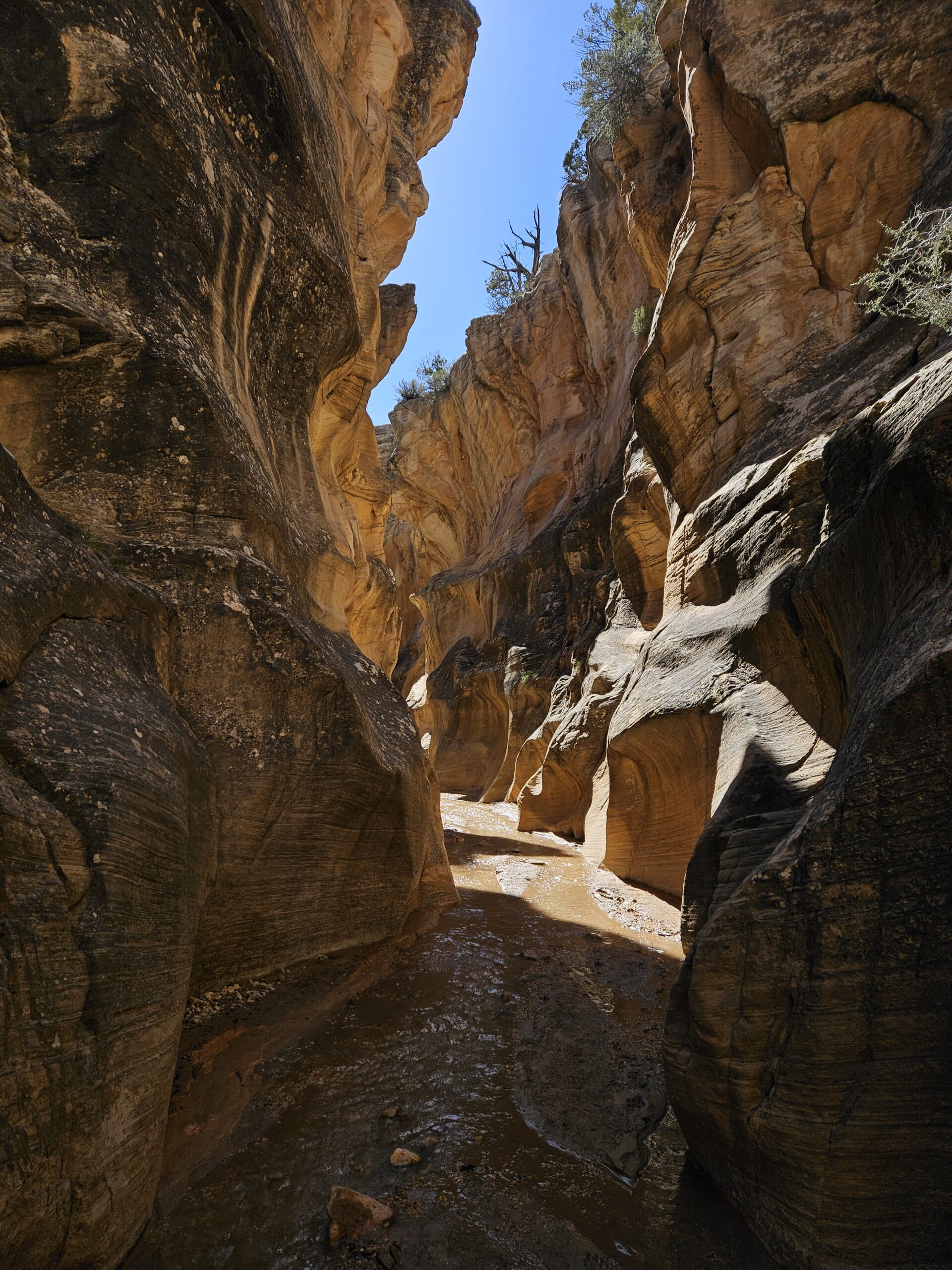
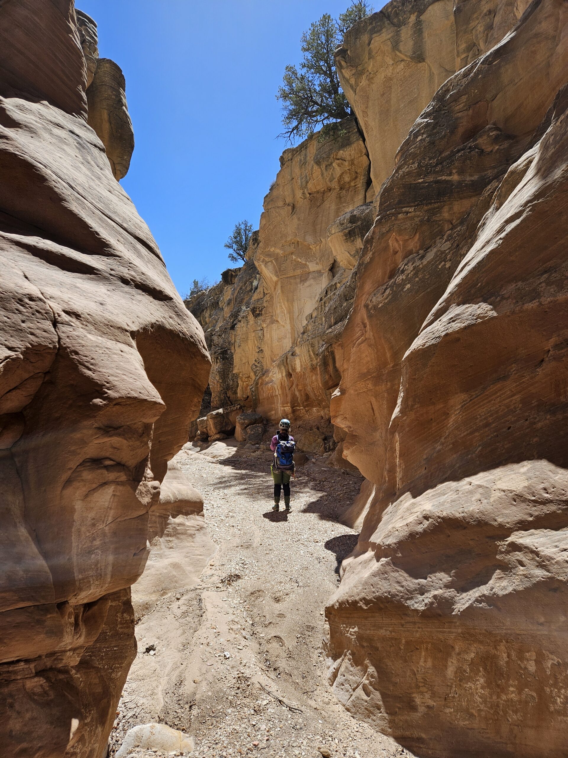
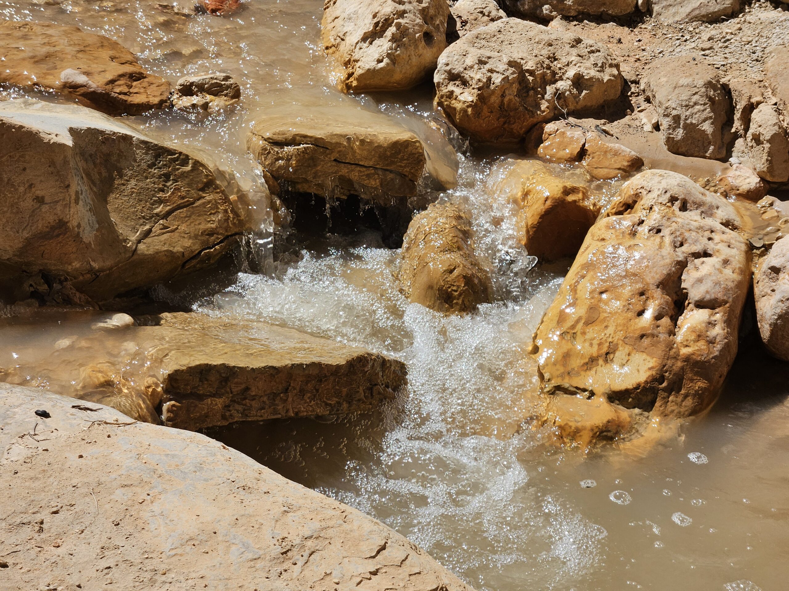
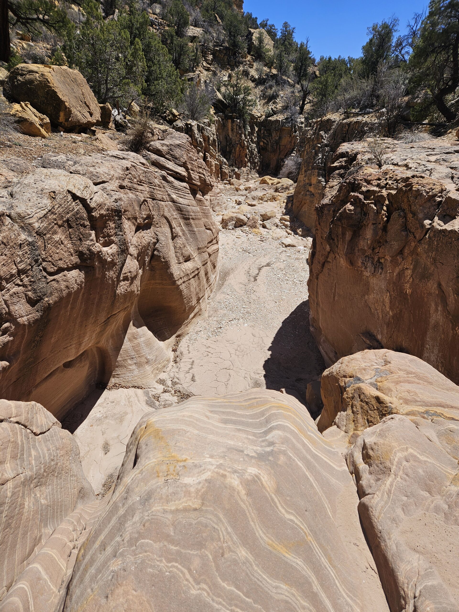
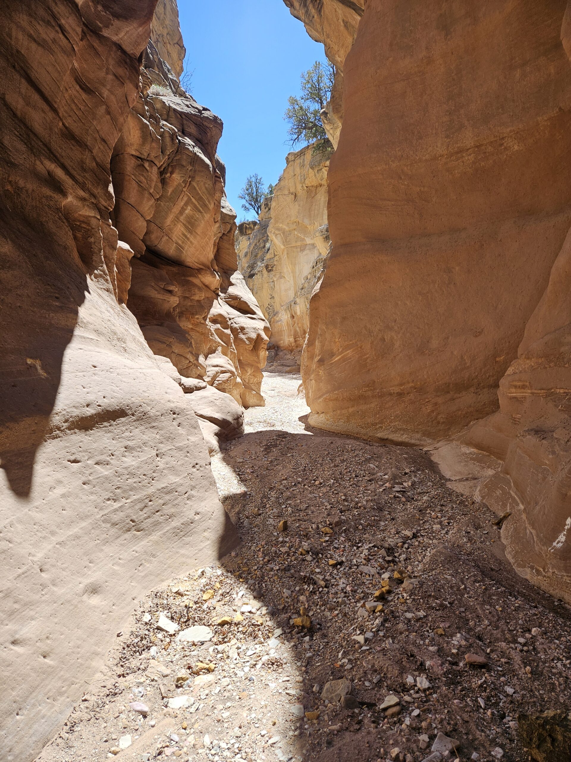
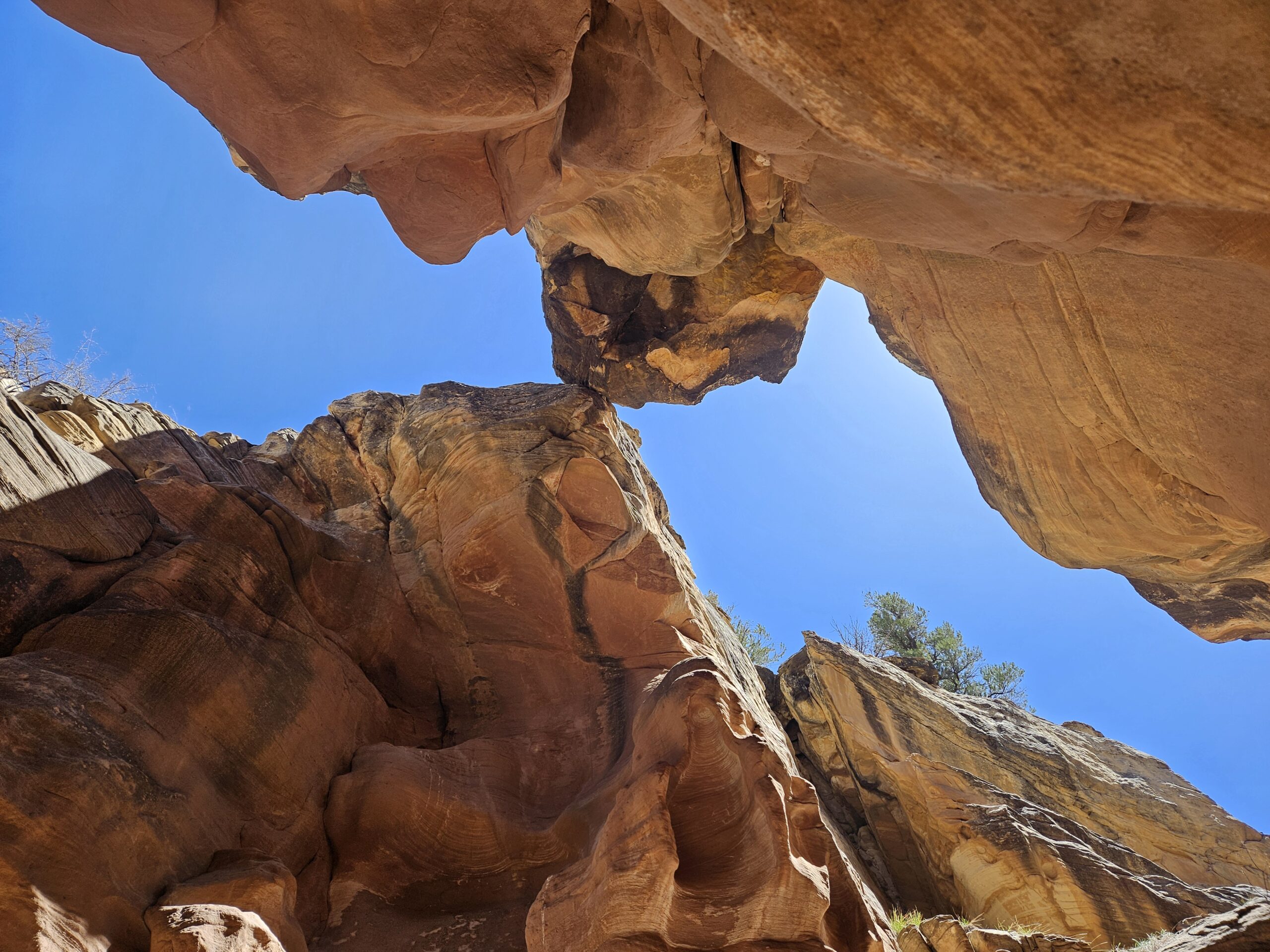
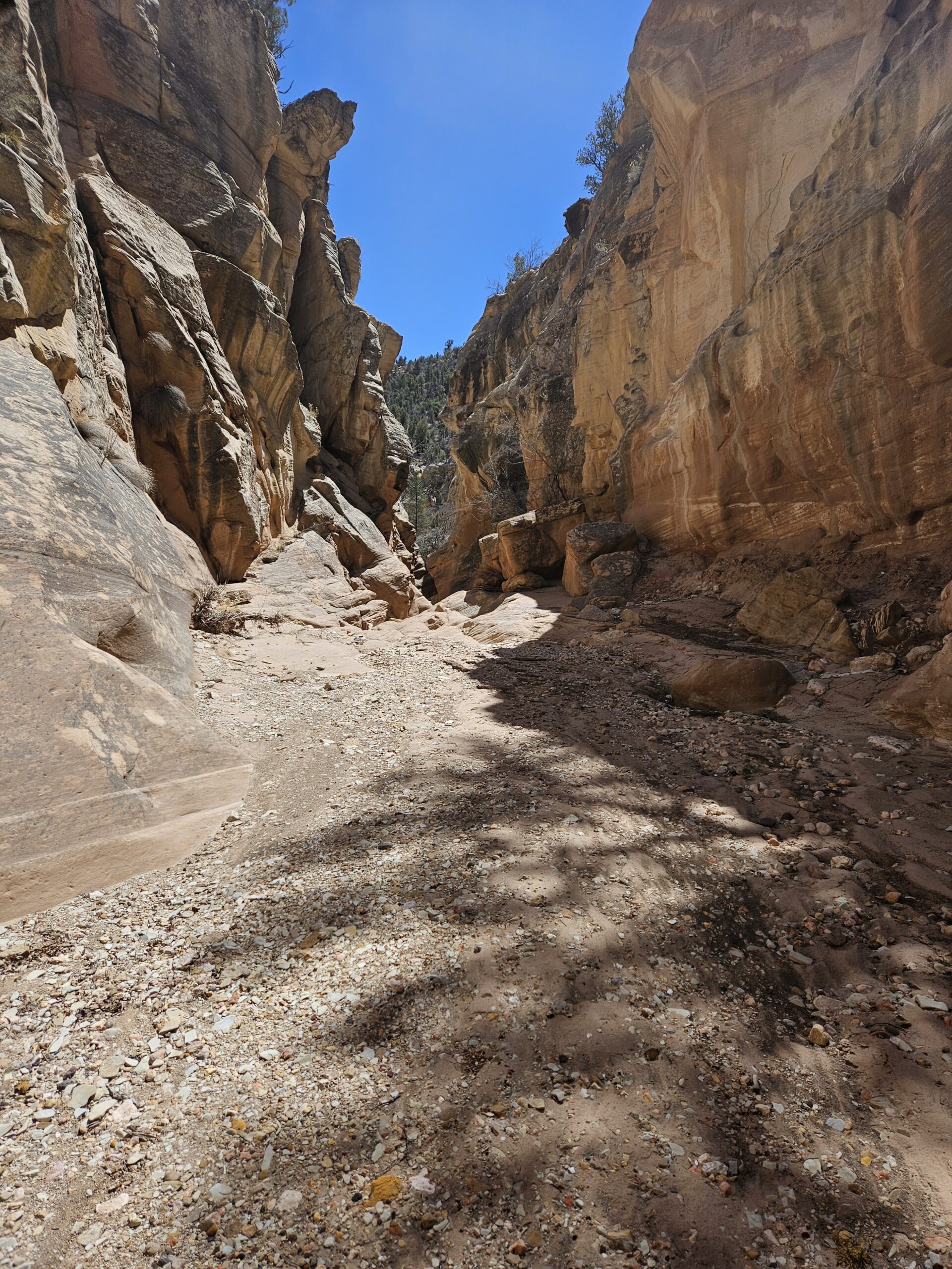
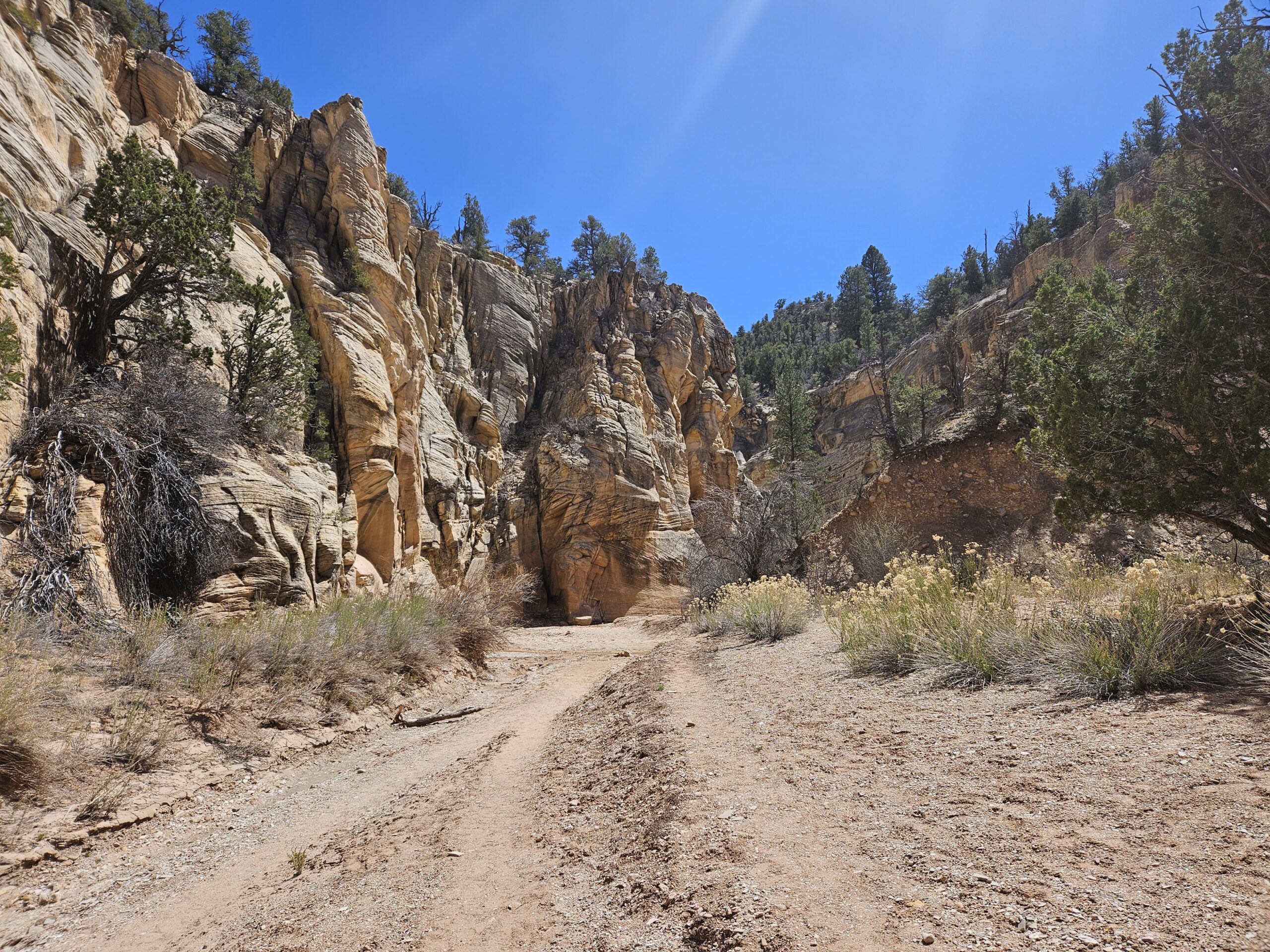
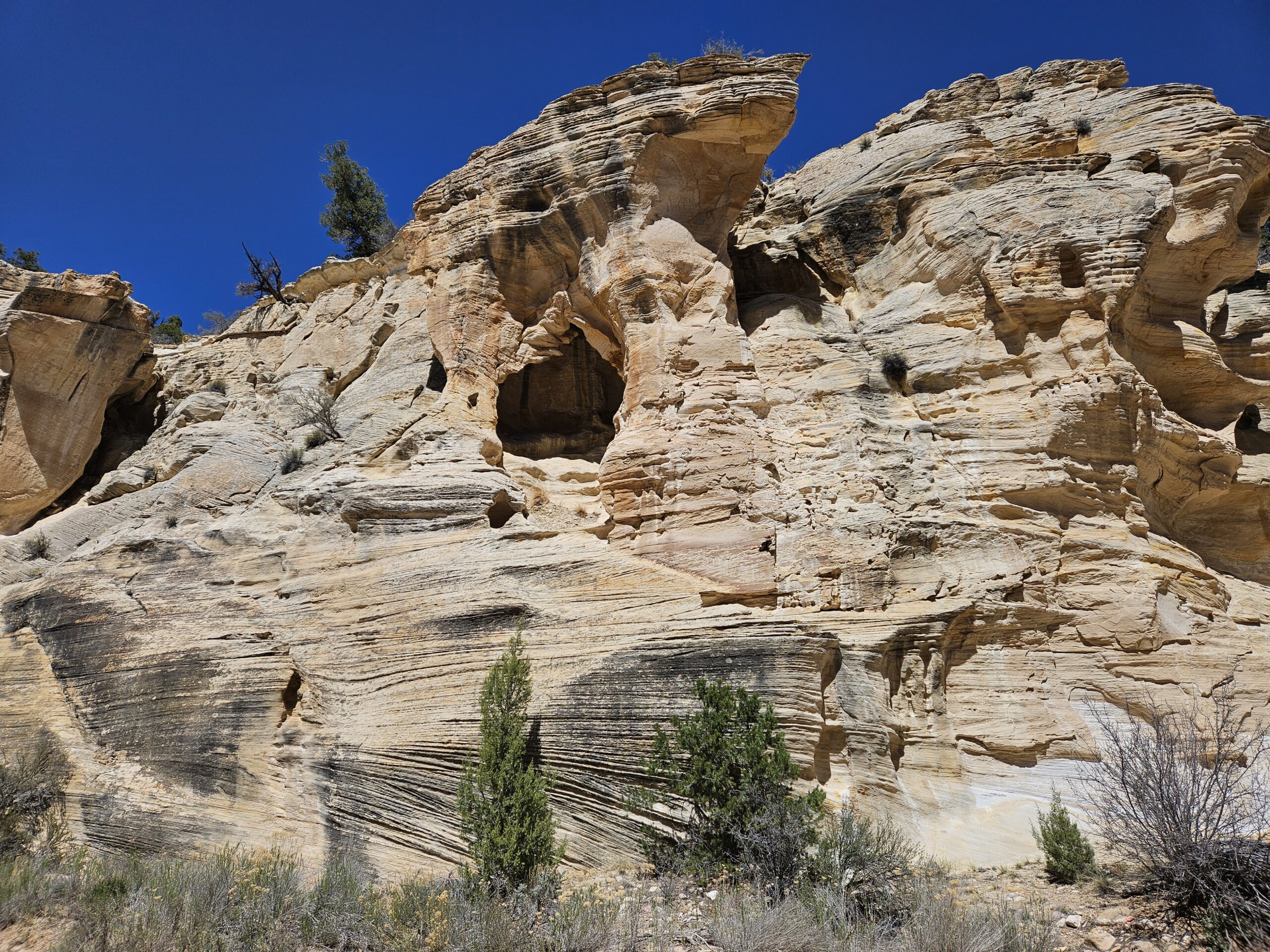
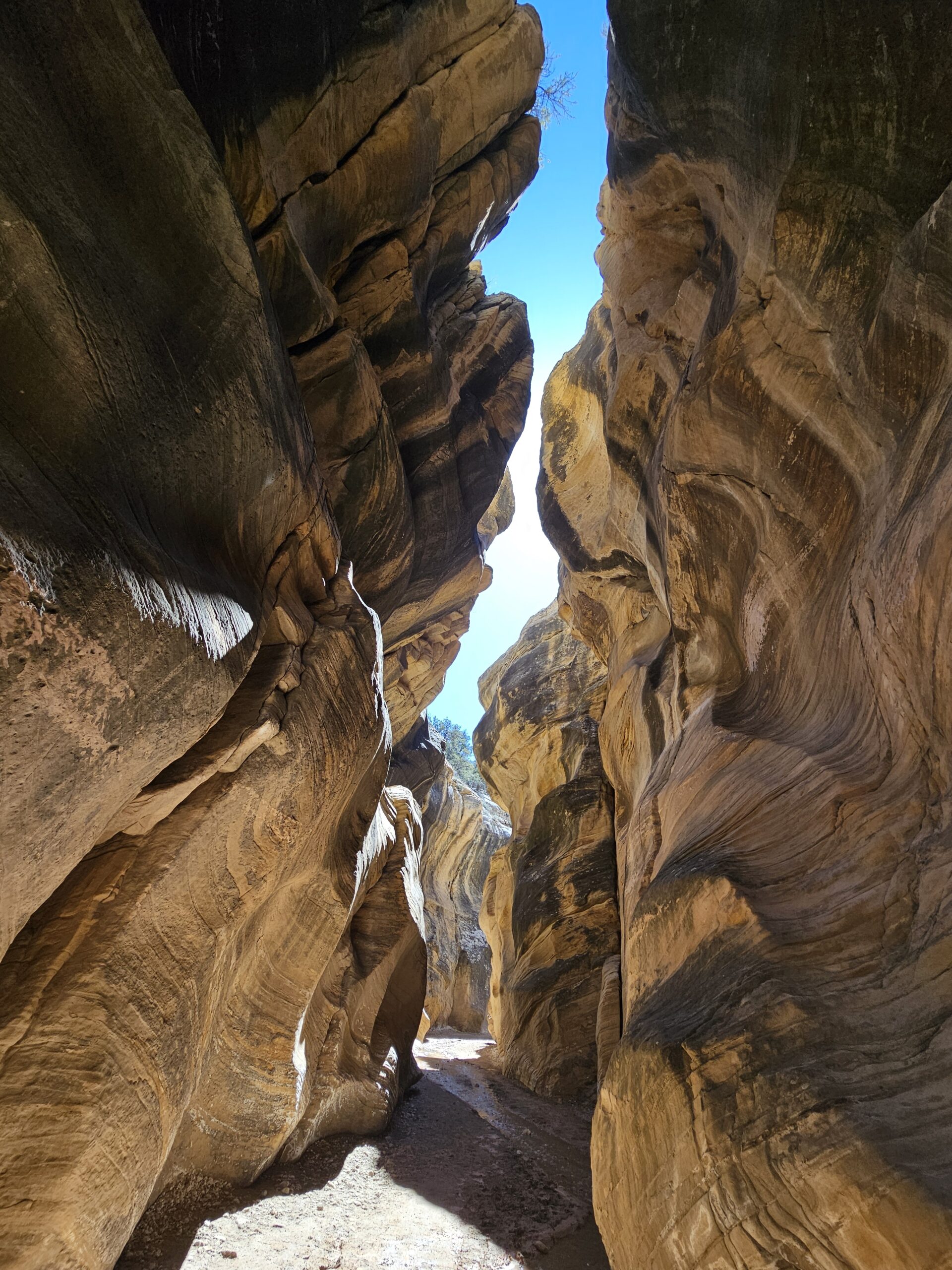
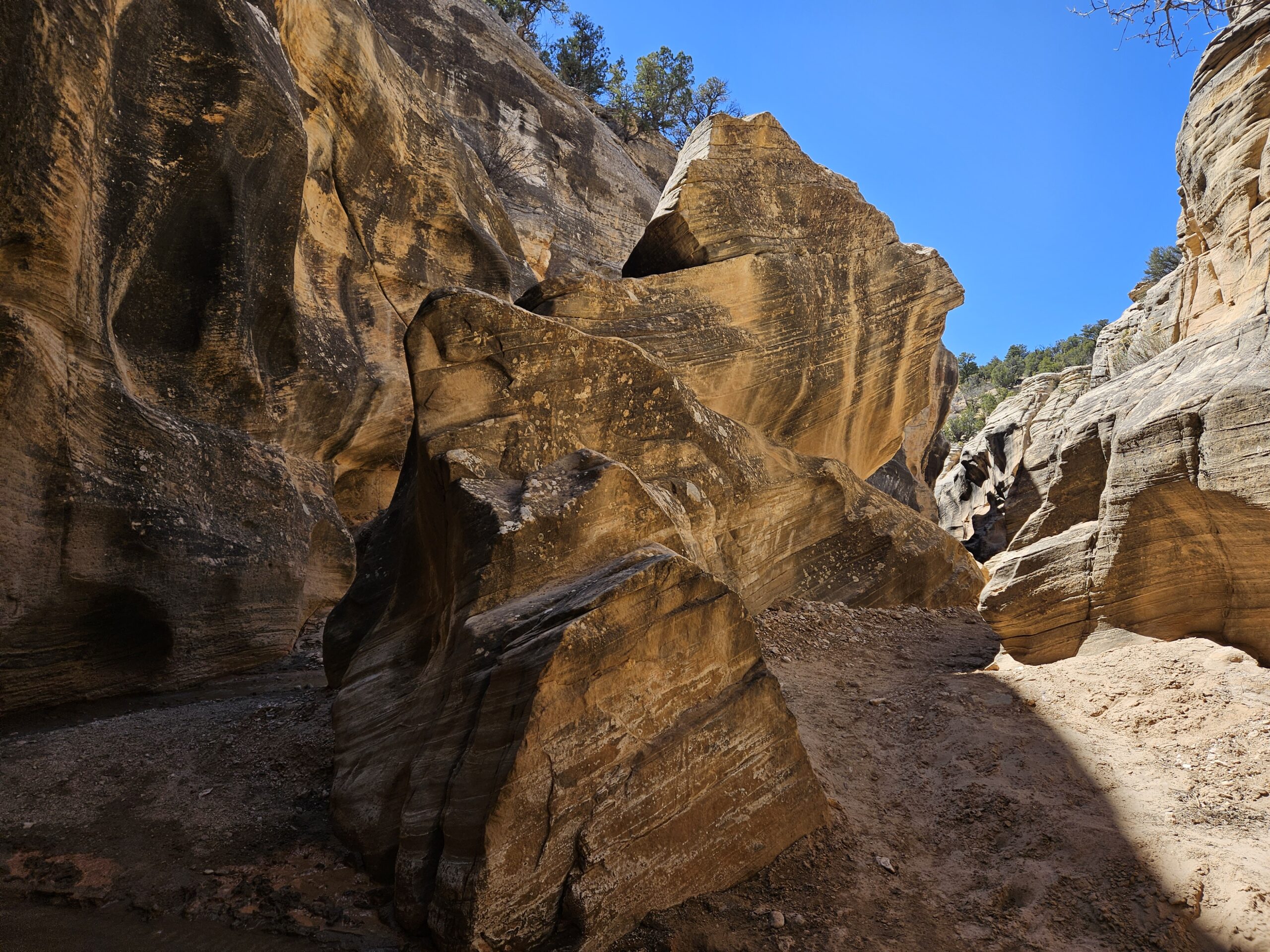
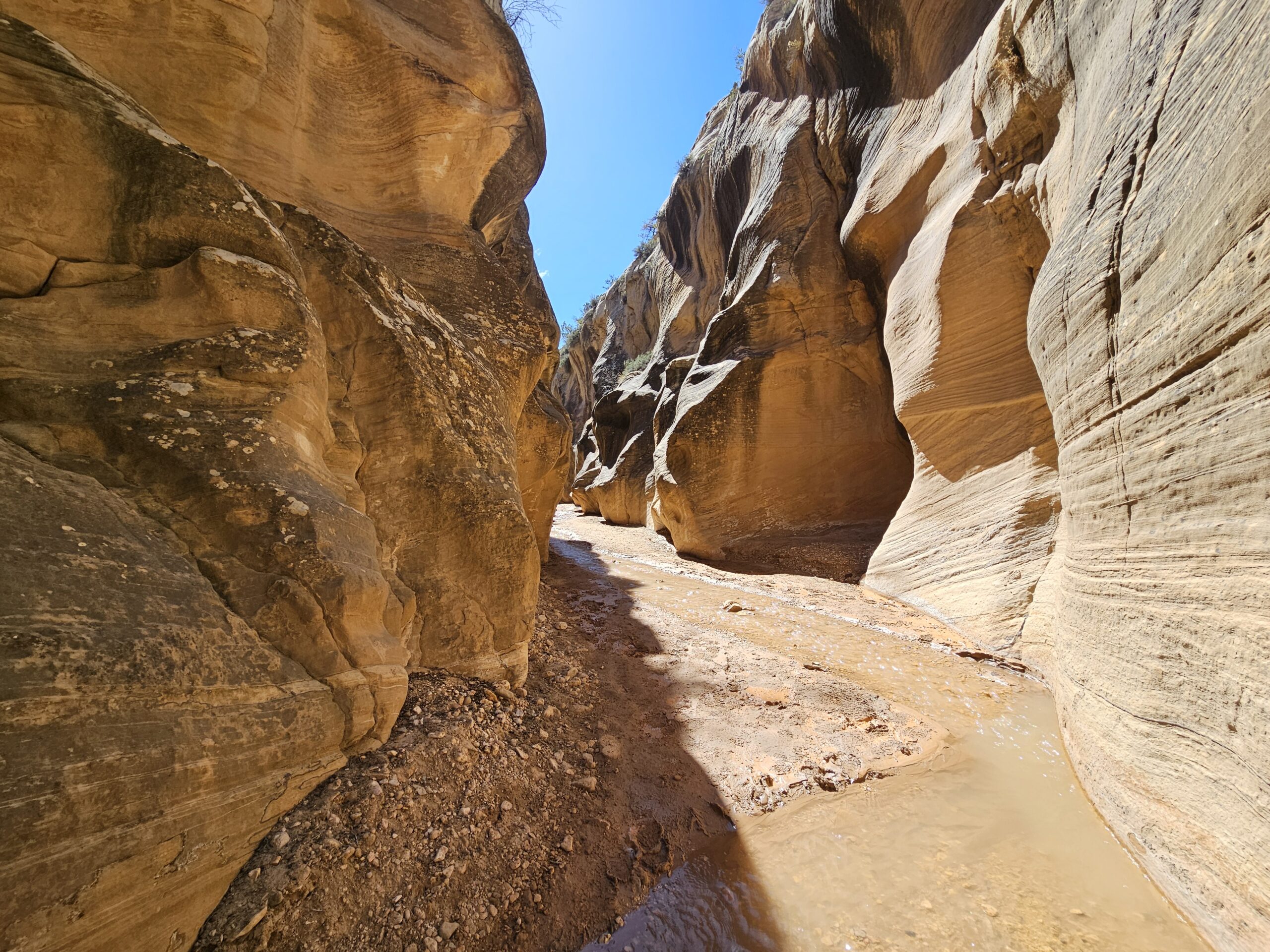
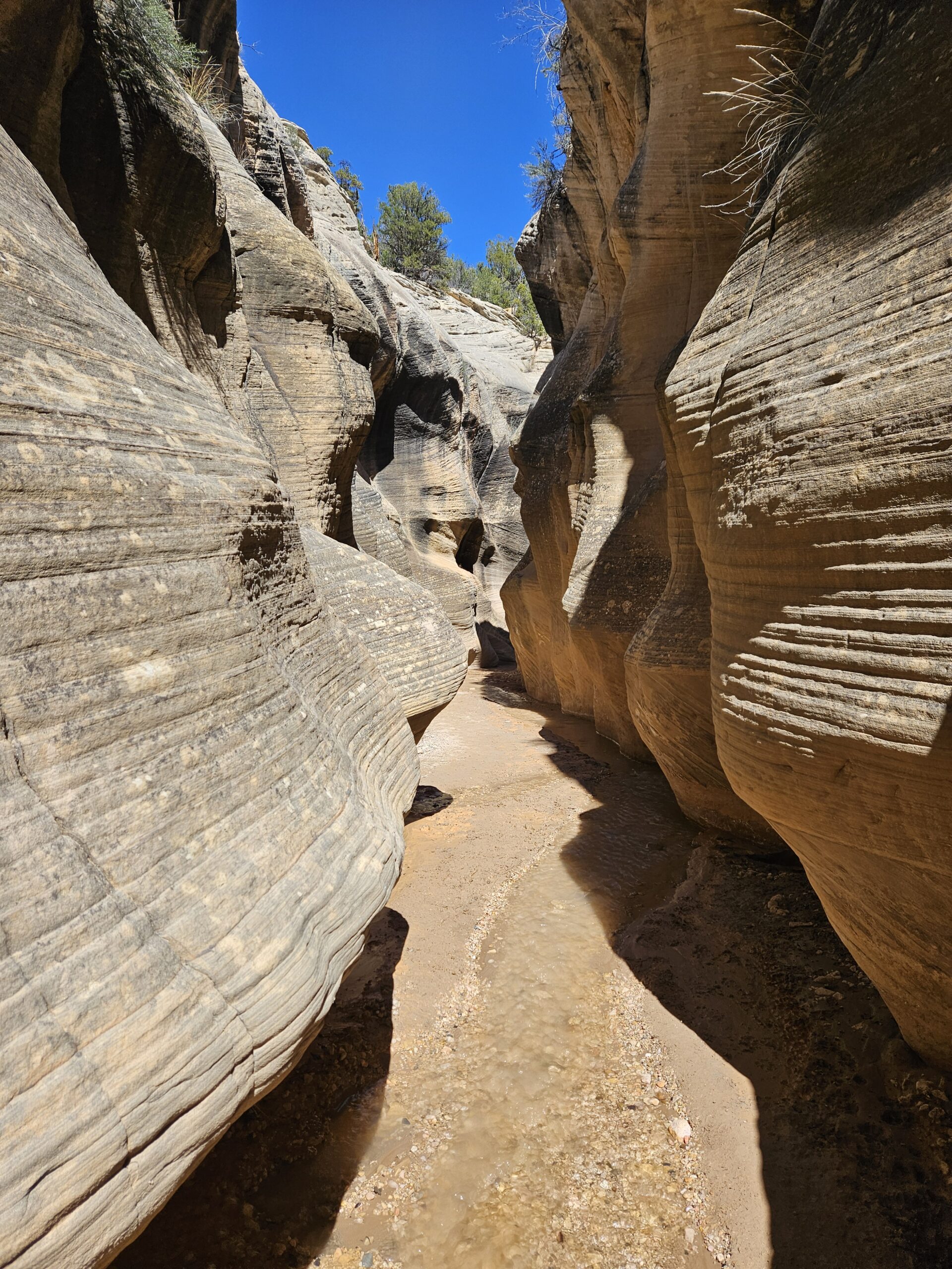
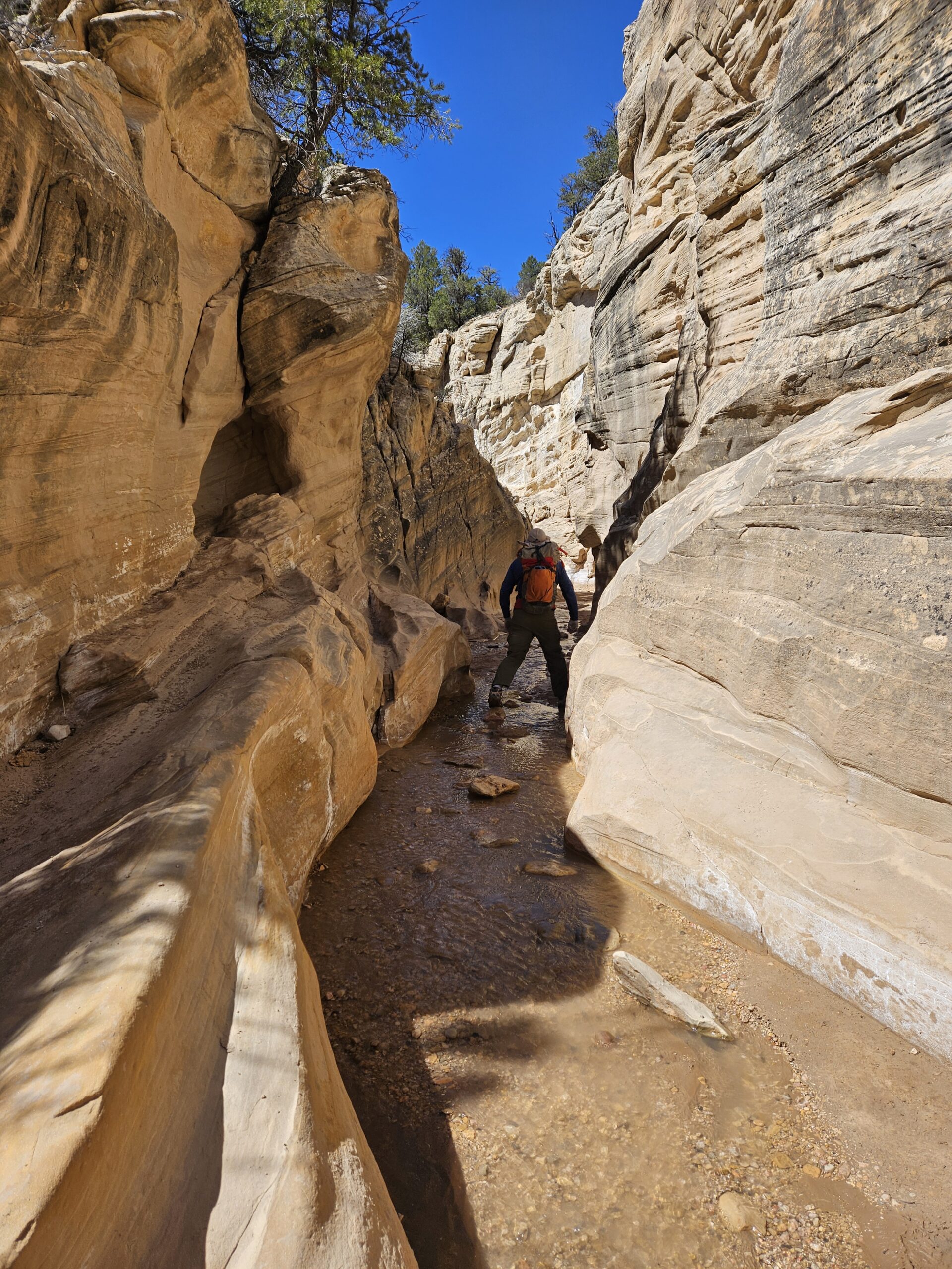
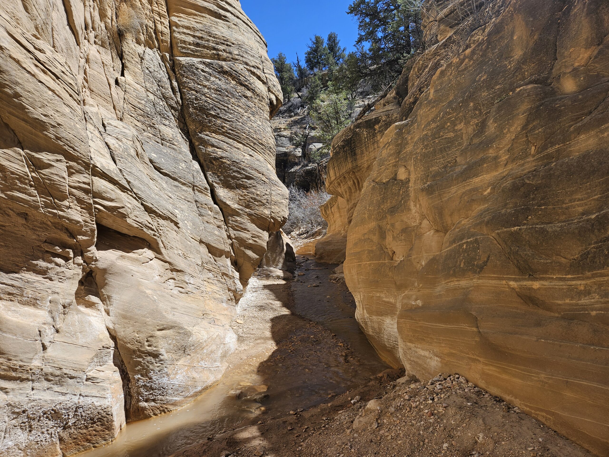
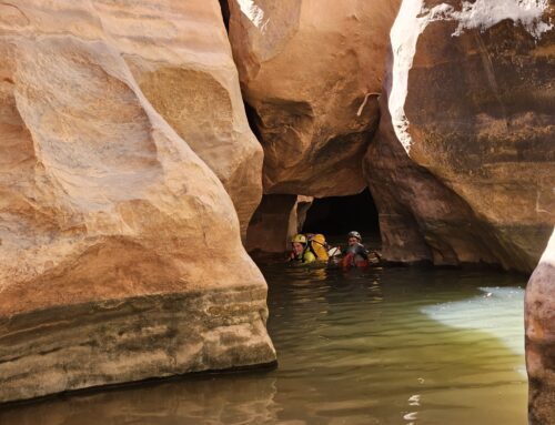
Water in the desert is a magical occurrence, especially if it’s fresh and flowing. One of our more pleasant local hikes on a lazy spring day is Willis Creek Slot Canyon, located right off Skutumpah Road in the Grand Staircase-Escalante National Monument. Specific information on how to find the trailhead is available here: Willis Creek Narrows | Easy Slot Canyon Hike | Visit Utah. Unlike most of our adventures, this is a family-friendly hike, appropriate for all ages, walking down a mostly flat, gently flowing creek. There are three sets of narrows to see, spanning a little over a mile each way. If you venture to the end of the third narrows, you will find yourself at the confluence with Averett Canyon, the other subject of this post.
Willis Creek holds a special place in our hearts as it was the first slot canyon we ever entered, many years ago on our first trip to Utah. Walking in from the parking lot, we were immediately hooked by the juxtaposition of narrow sculpted sandstone walls and flowing water: it was clearly a gateway drug.
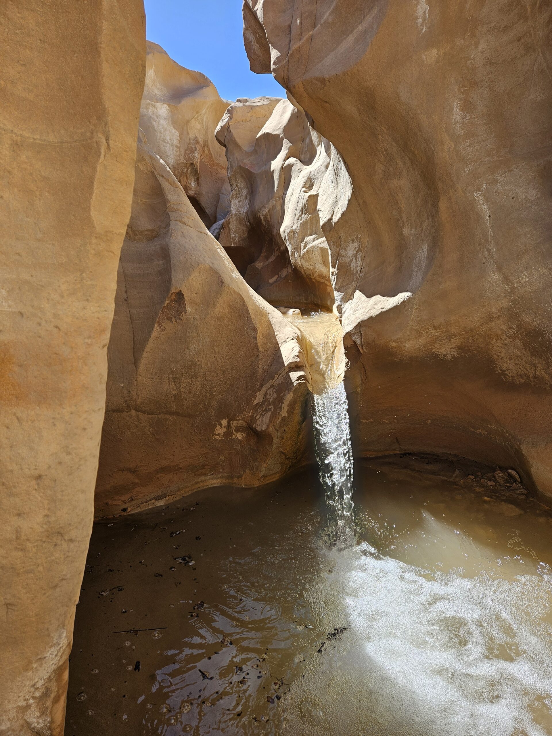
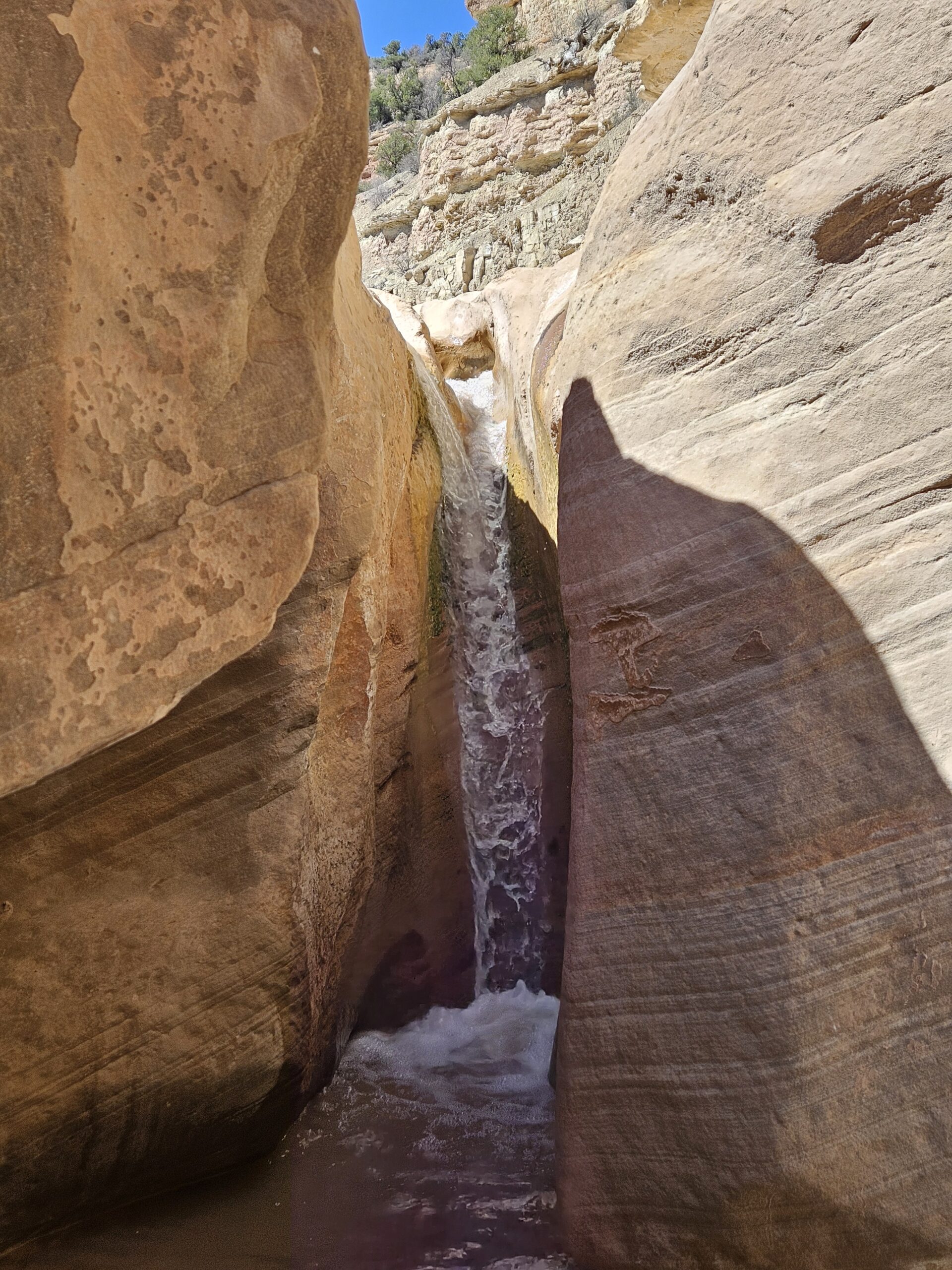
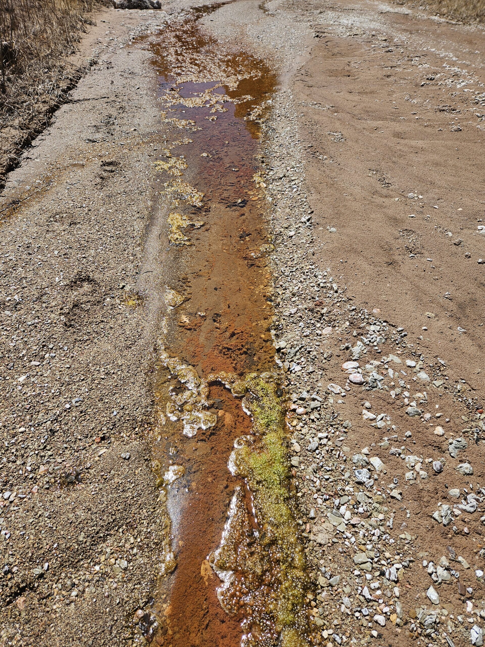
The trail starts right at the parking lot and drops into the wash. There are two gently flowing waterfalls to see at the beginning, both of which have easy bypasses to get around the drop-offs. You then meander down the creek, which has about an inch of water all year round. The walk requires many crossings, but it is entirely possible to keep your feet dry if you want to. This hike is reasonably shaded during the hotter months but bringing plenty of water and a hat is vital. We prefer to visit in the spring when temperatures are moderate and there is more flow.
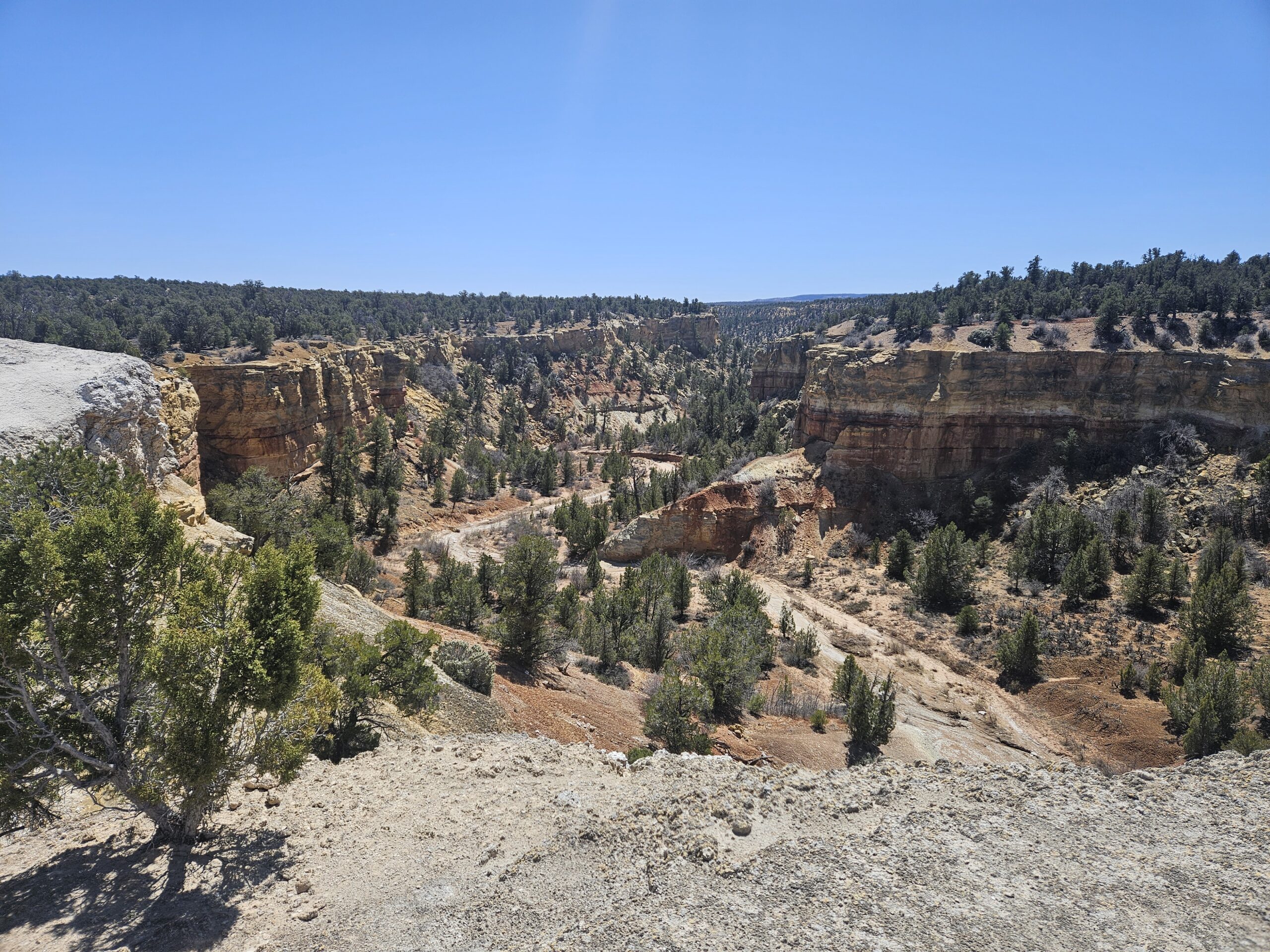
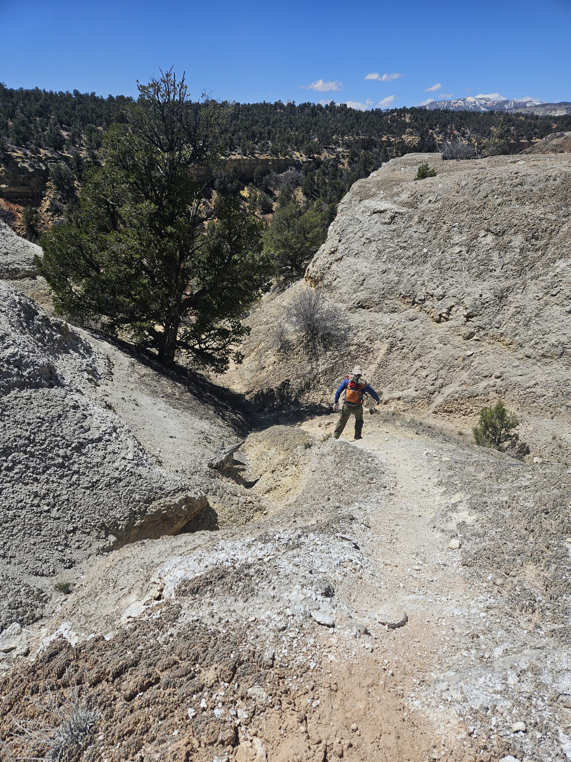
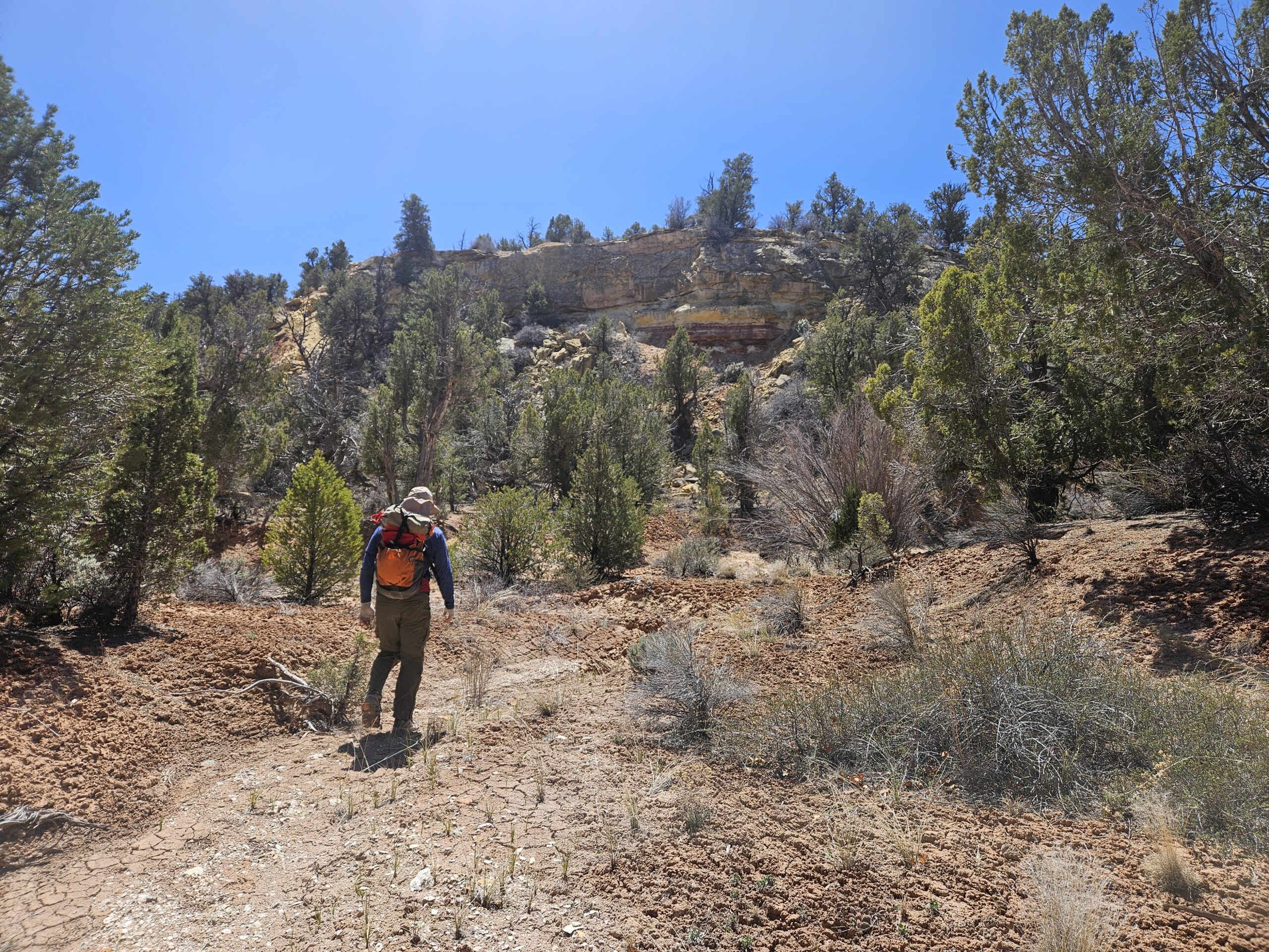
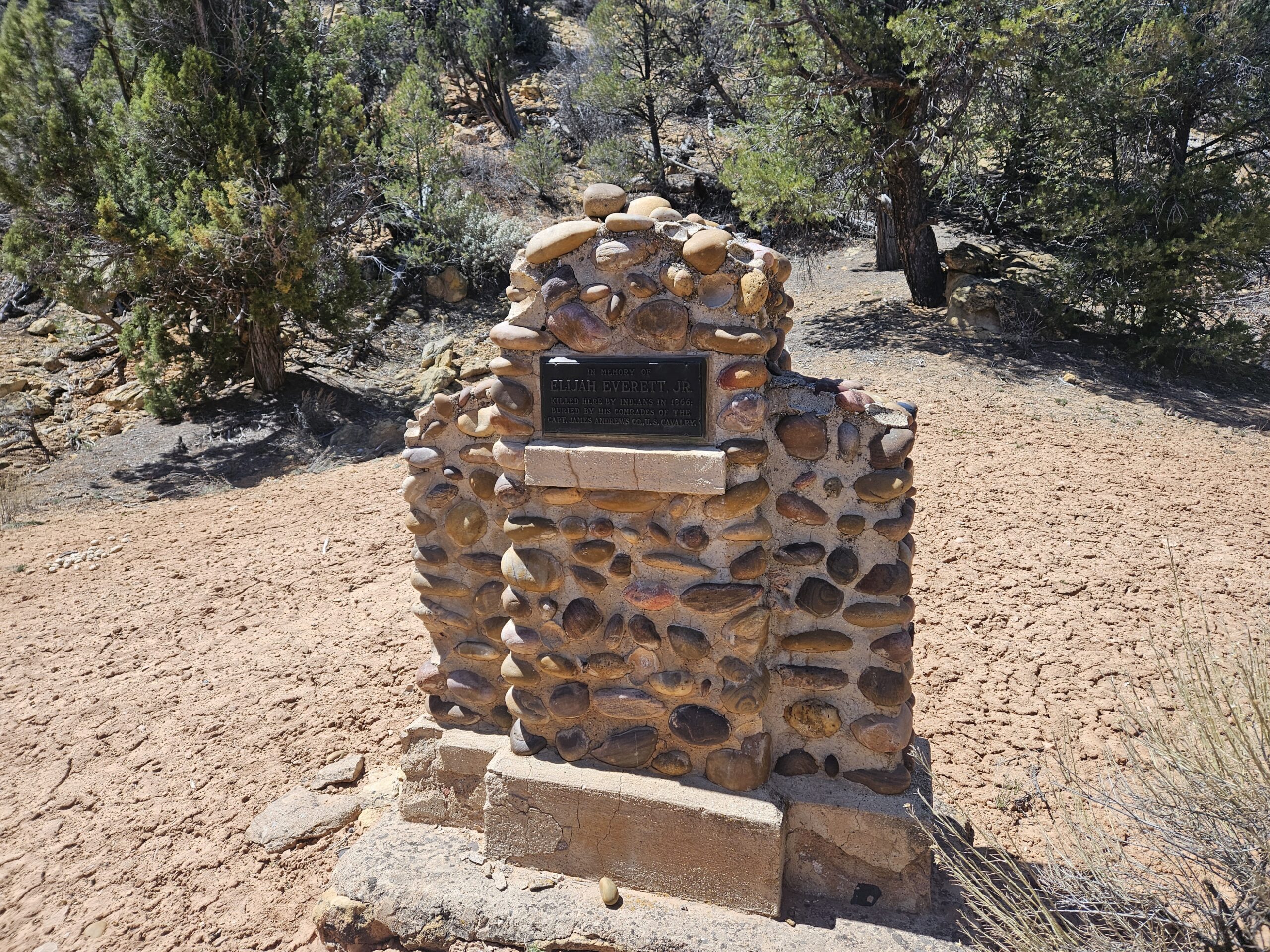
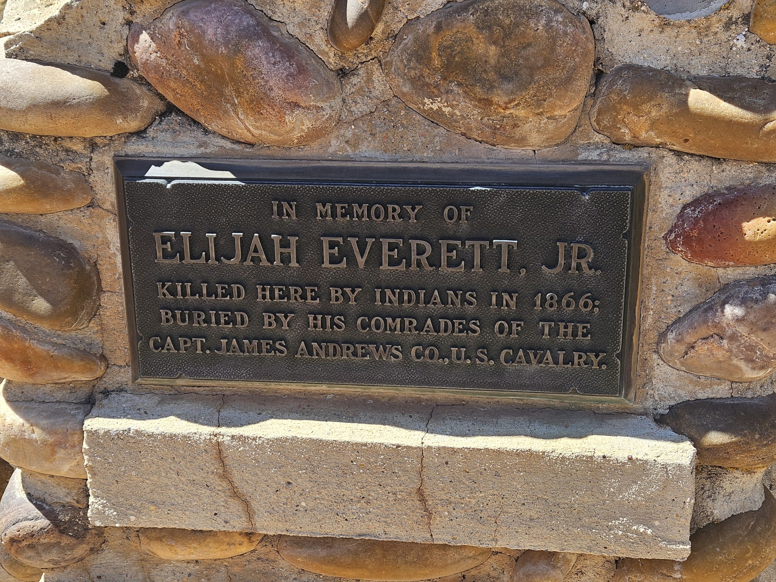
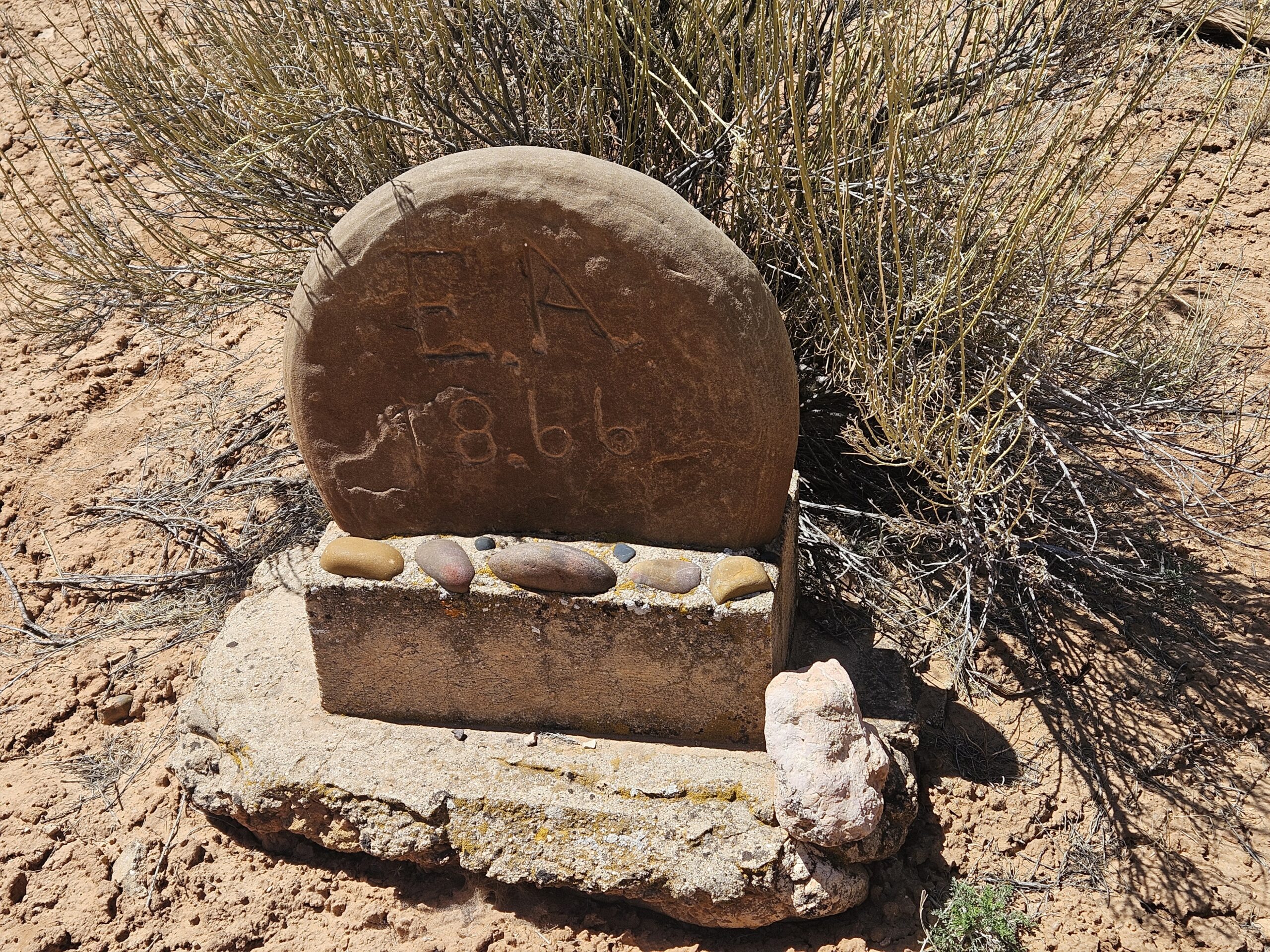
In mid-April this year, Max and I decided to check out a new hikeaneering route: descending Averett Canyon to the end of Willis Creek, then walking up Willis to the parking lot and hopefully getting a ride back to our car. No permits are required for Averett Canyon and beta is available here: Averett Canyon – ropewiki. For this canyon, all rappels can be bypassed so this does not have to be a technical route. We started at a small pull-out on Skutumpah Road and located a very steep approach heading down to Averett Canyon. There were a lot of loose rocks on this small game trail, but it did get us to the wash. Almost immediately upon entering the canyon, we found a small clearing with a plaque and tombstone of Elijah Averett (also called Everett) Jr., who had the misfortune of naming this canyon by being killed here in 1866.
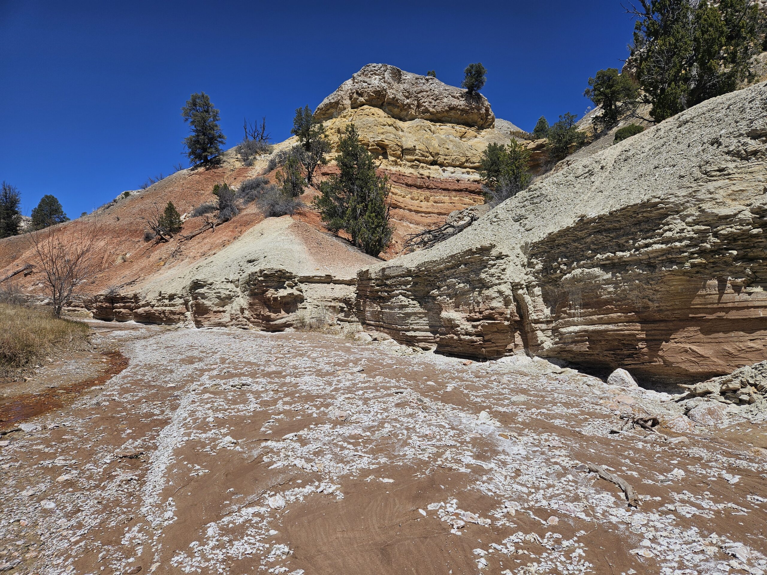
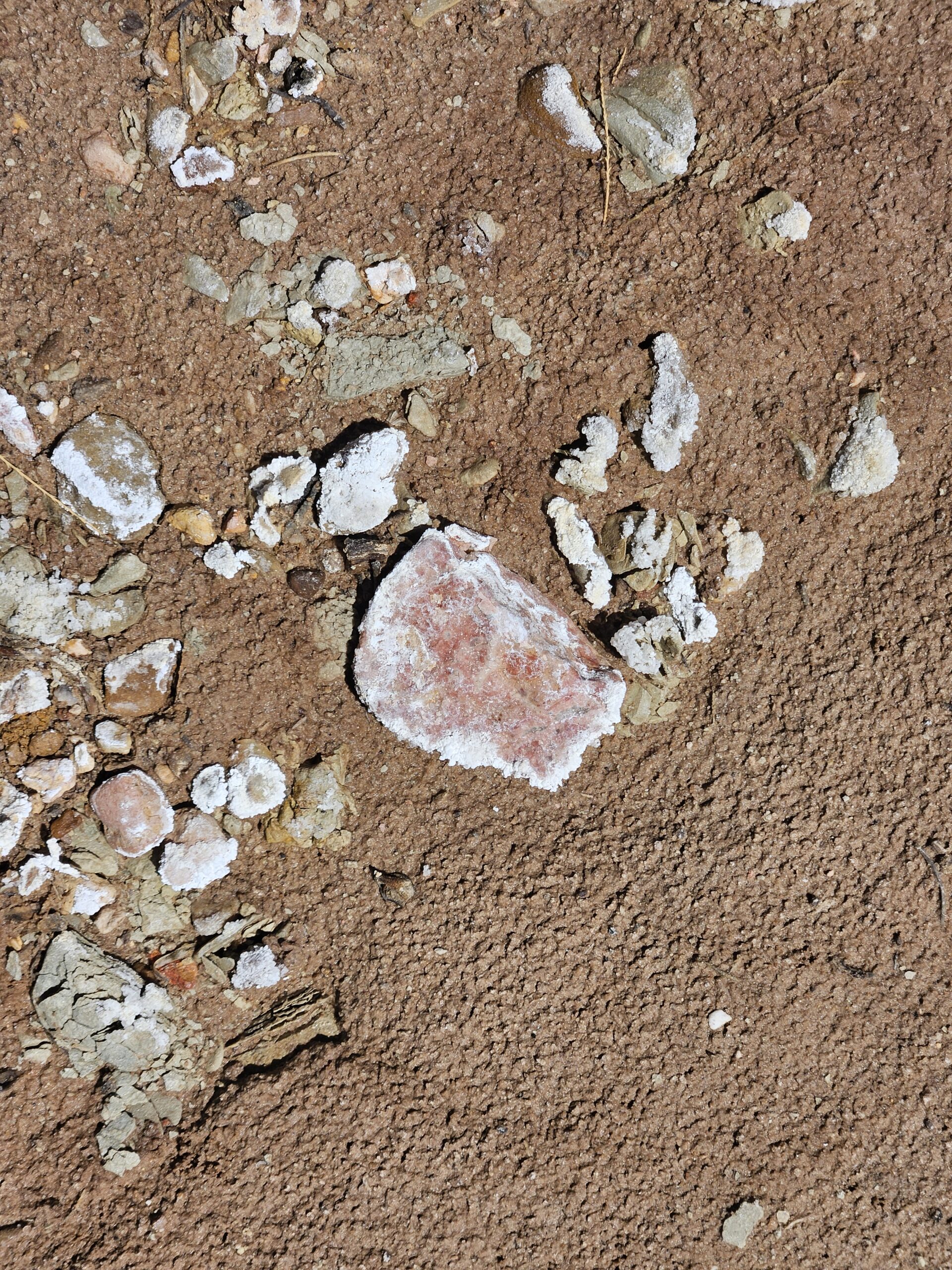
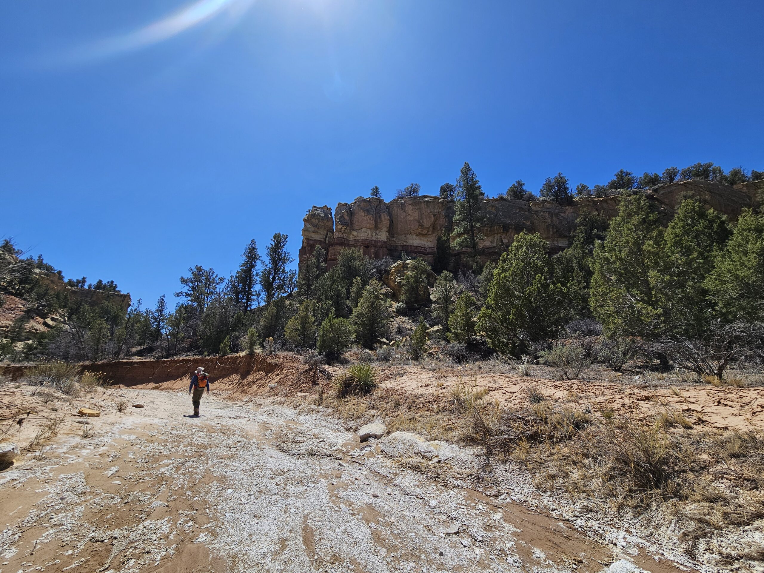
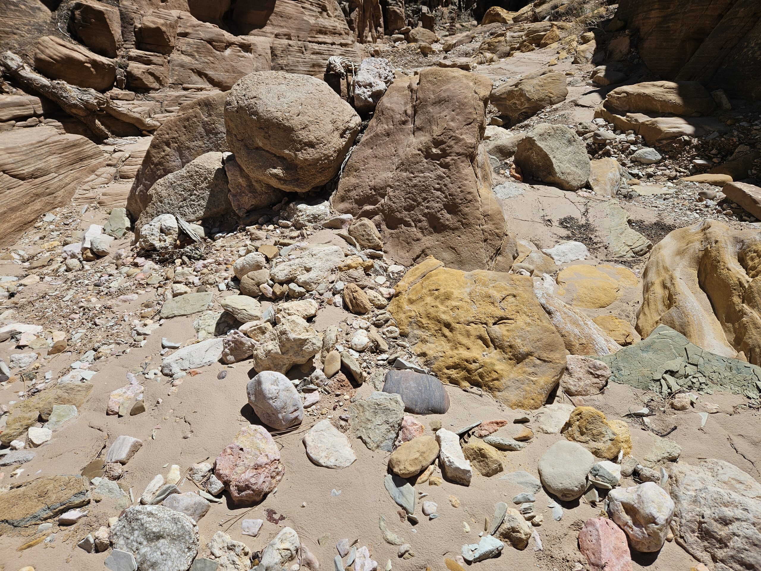
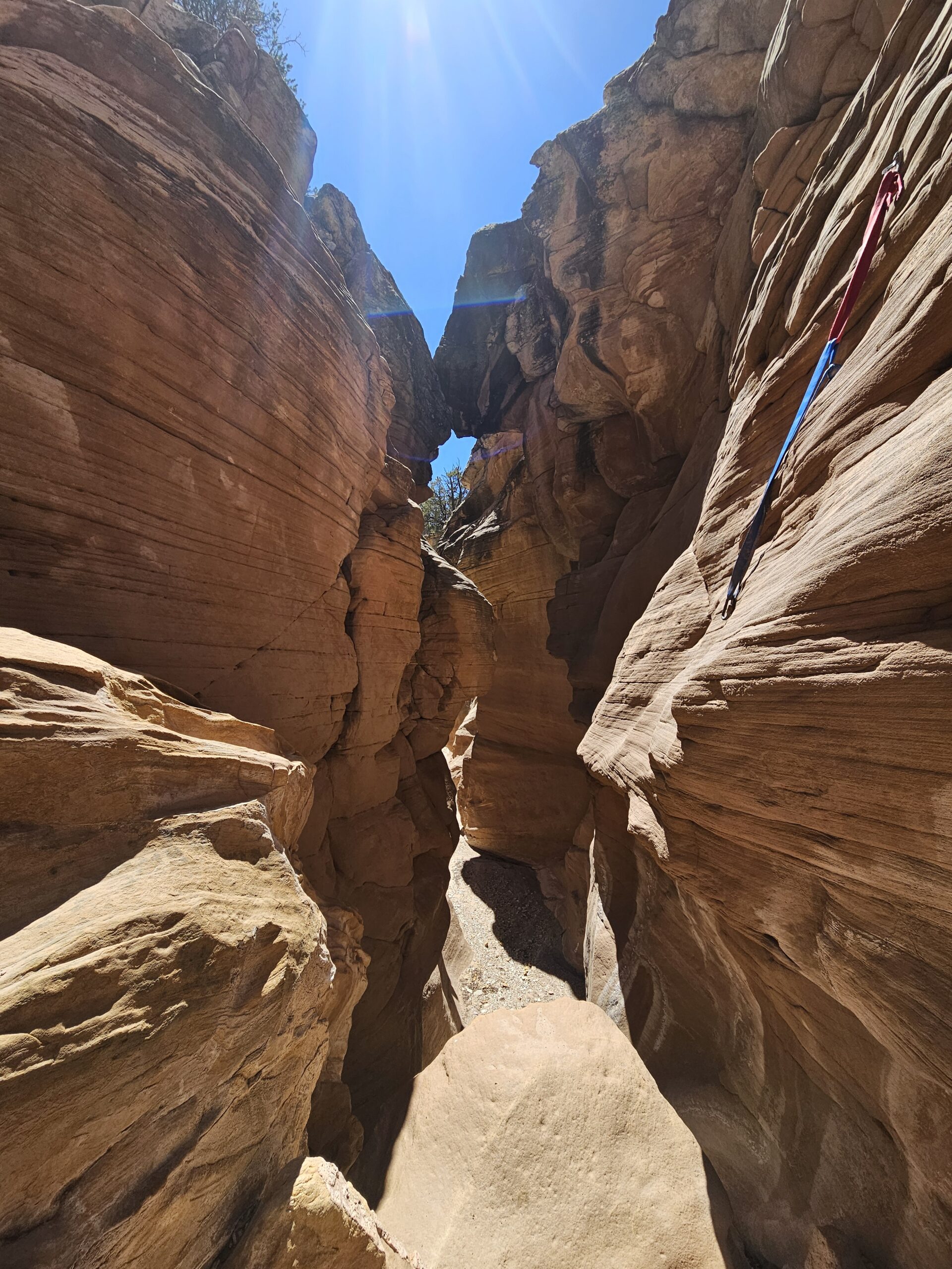
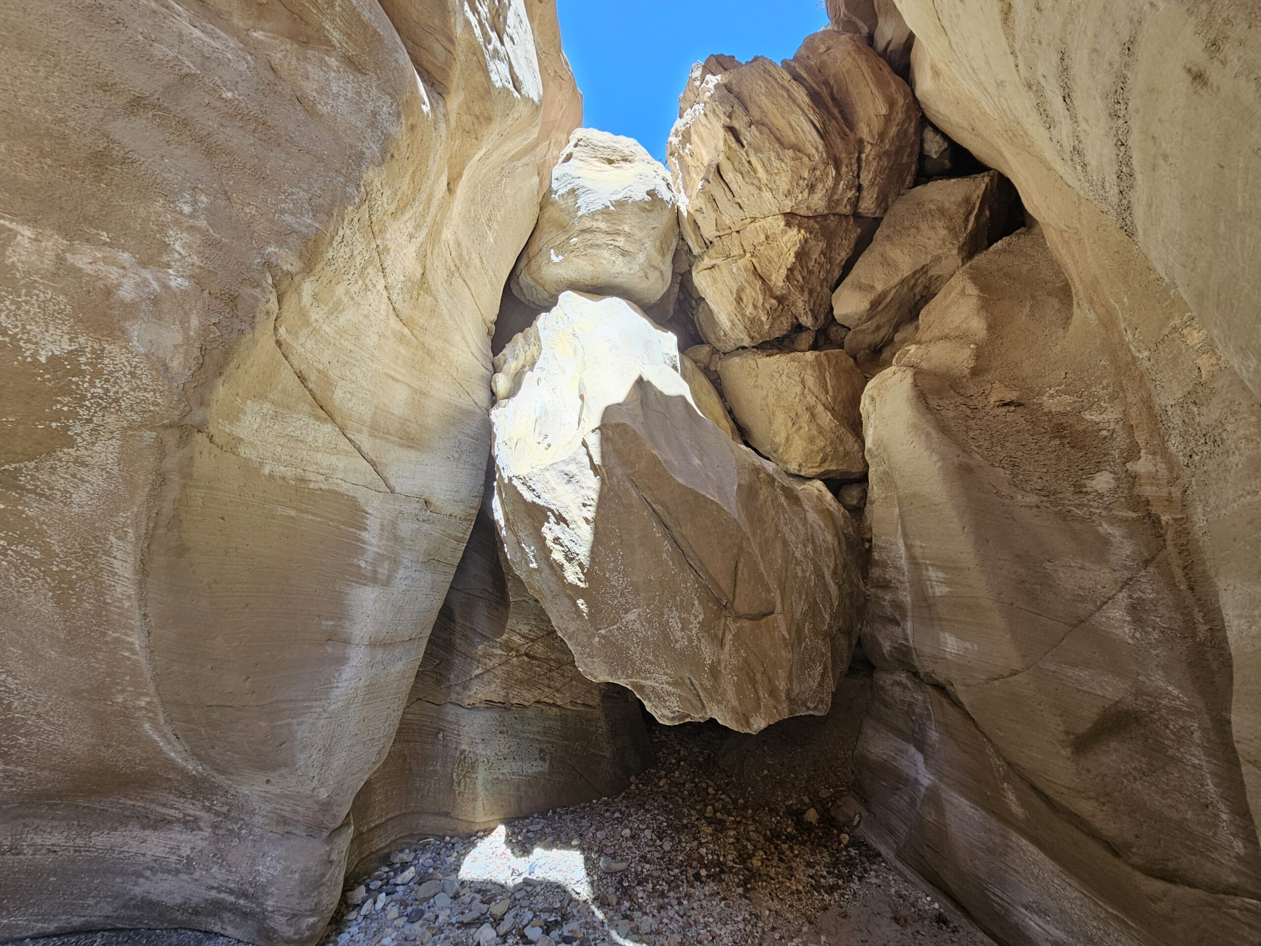
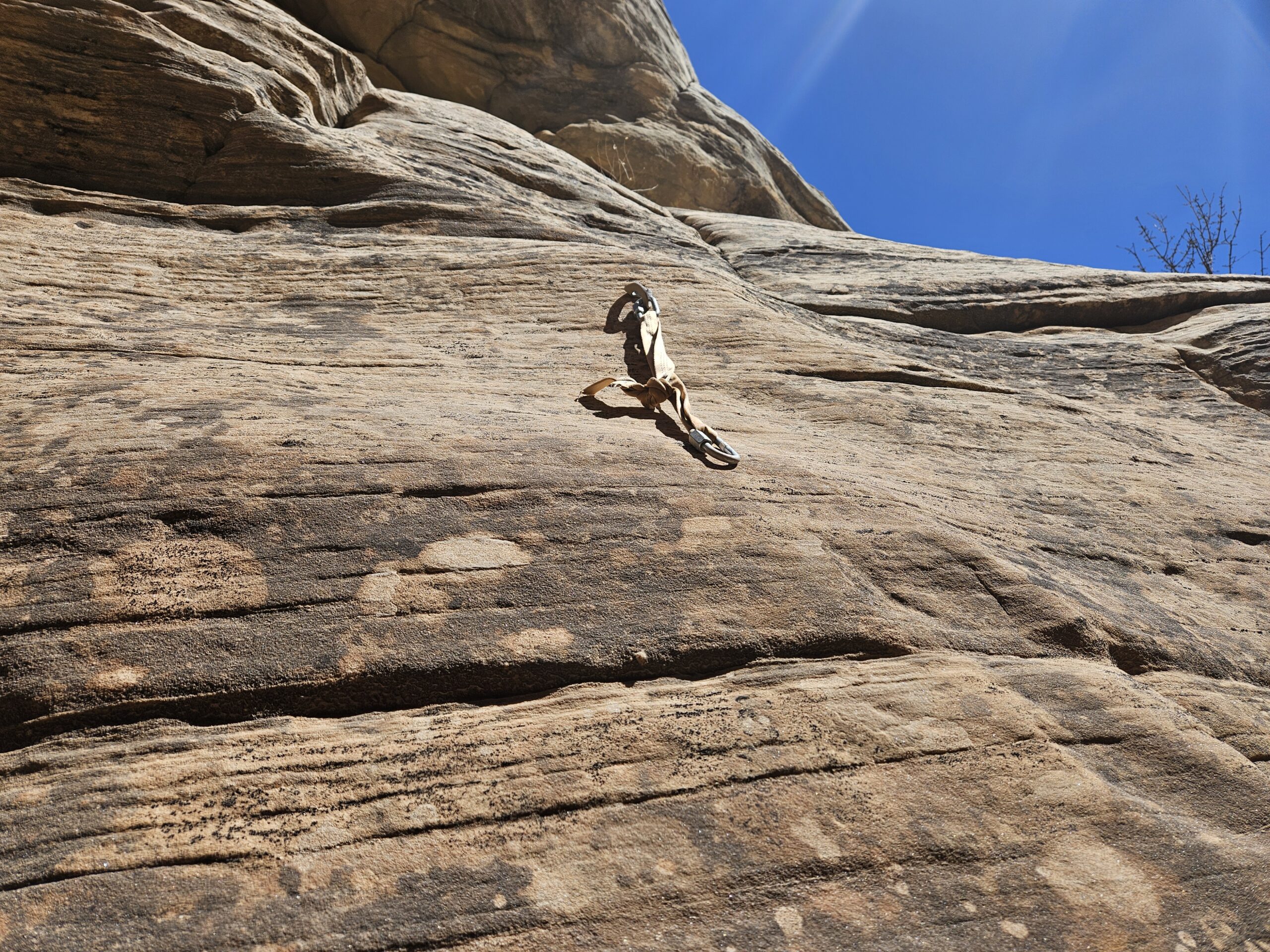
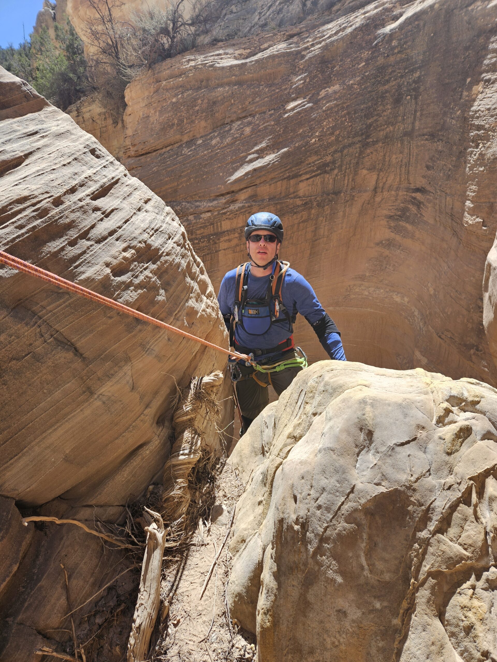
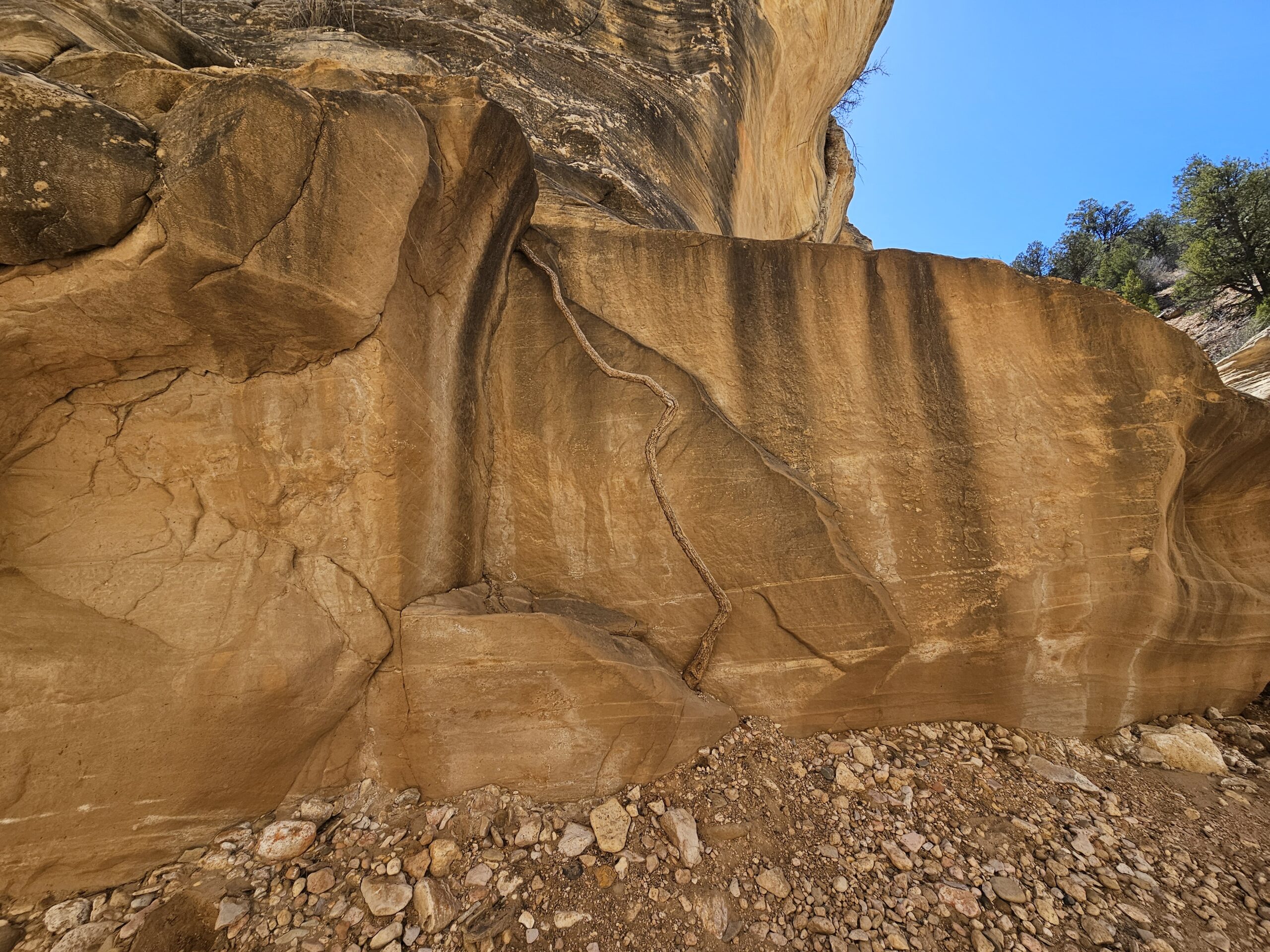
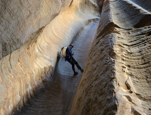
As we continued downcanyon, the entire bottom of the wash became coated with salt crystals. Many of the rocks were also covered in salt, which made for a striking effect. Eventually, the wash gave way to sandstone narrows with a variety of polished multi-colored river rocks. Soon we saw our first rappel, a single bolt high on a rock with several strands of connected webbing. It was so high up that we probably wouldn’t have been able to change the webbing out if needed. Everything looked in decent order, but I decided to back Max up just in case. This was a 25ish foot rappel down two chockstones, with a drop off at the bottom. Possibly down-climbable, but who wants to twist an ankle in Averett Canyon?
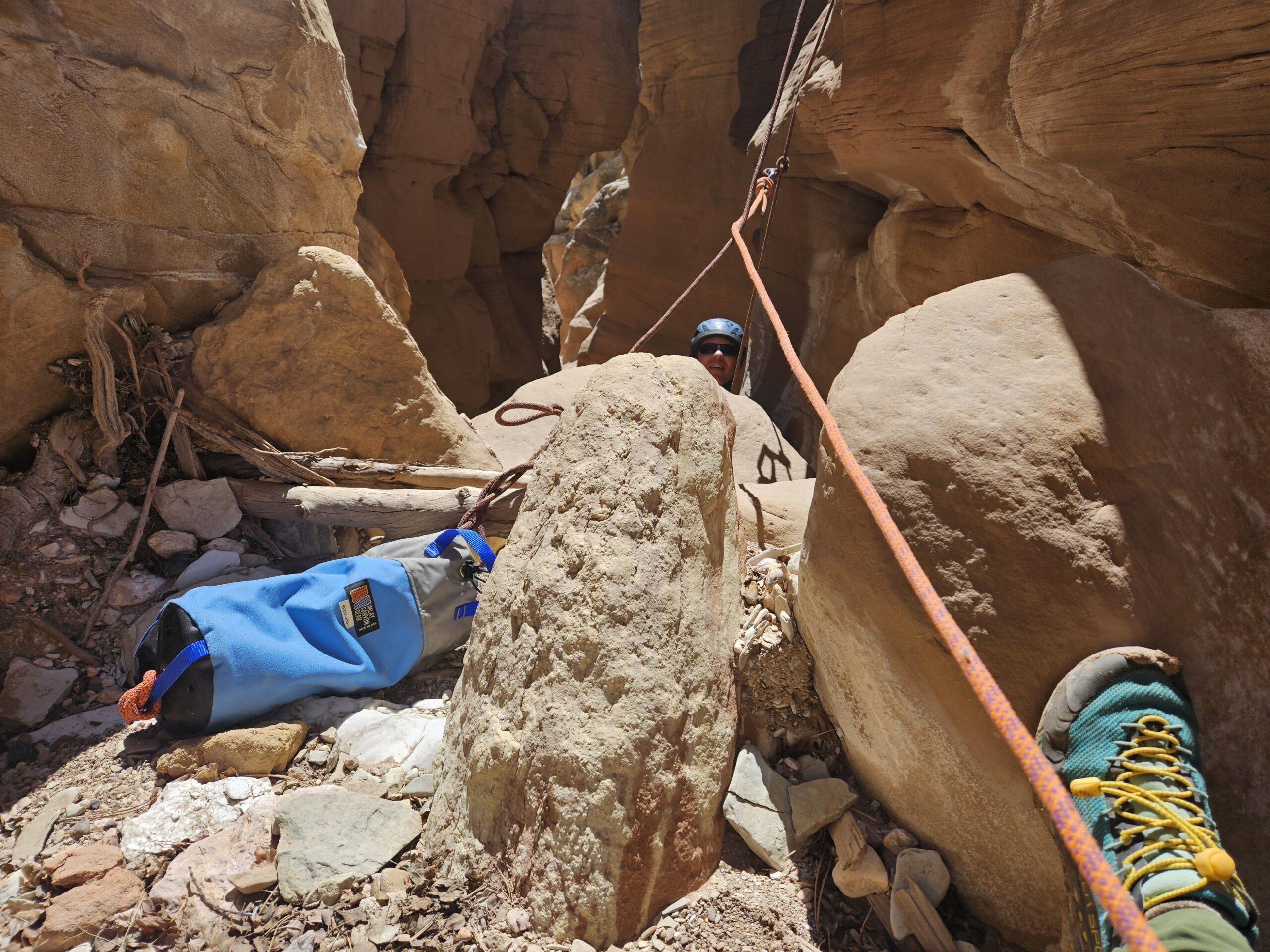
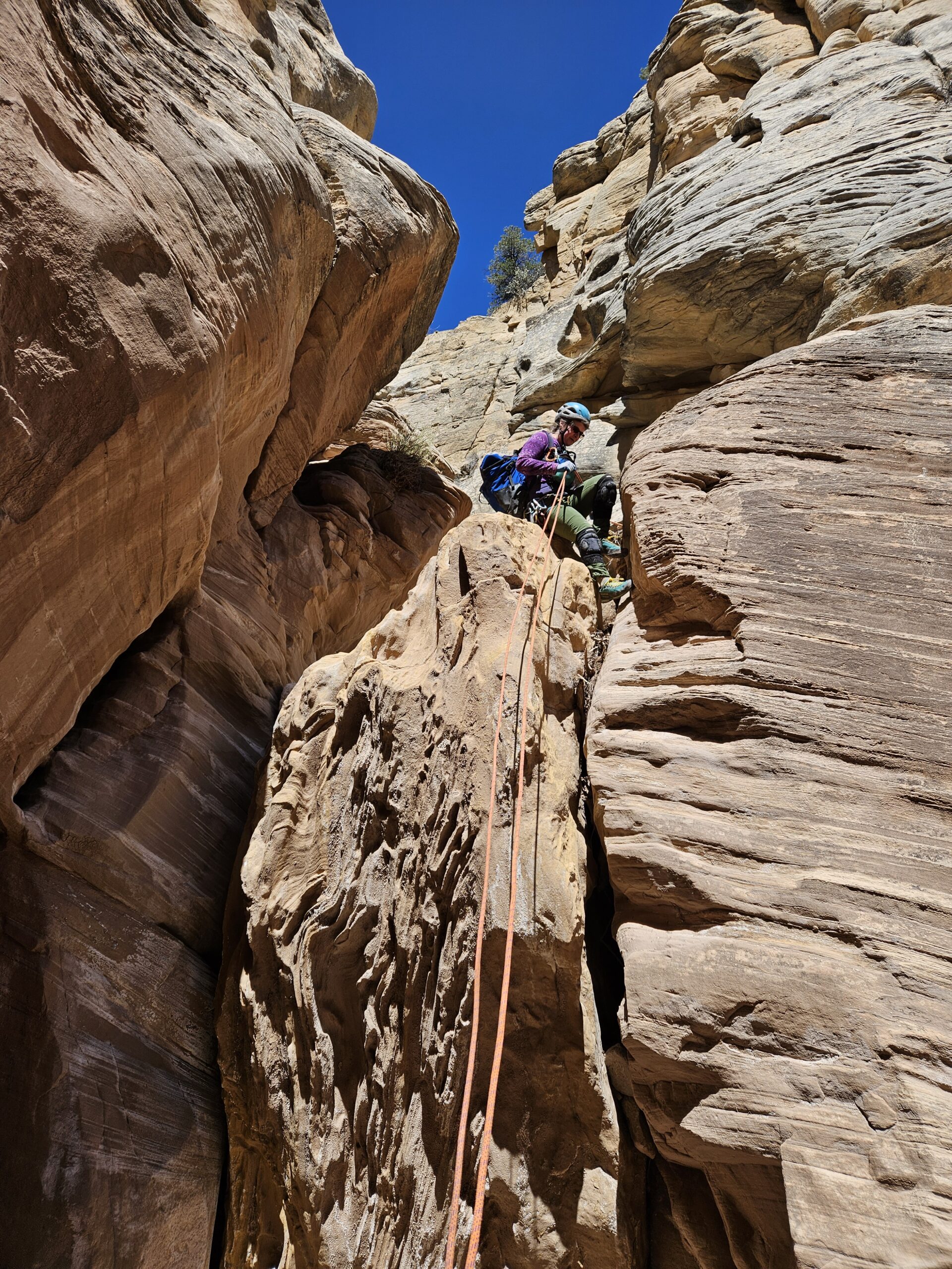
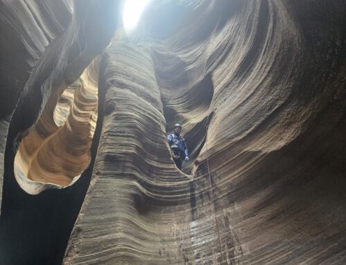
Another fairly short walk later we found the second rappel. This one was about 20 feet off another single bolt that was very high up and very difficult to re-rig. There were dead branches and flash flood debris piled up below the anchor, which made getting on rappel rather difficult. We side-eyed the rigging on the second anchor and pondered building a different anchor, but ultimately decided that it wasn’t too terminal. Once again, Max went first and I provided a back-up.
After this rappel, we emerged into the confluence with Willis Creek and shortly saw a family heading up to explore the last pour-off of Averett Canyon. A few puzzled looks later, we explained what we were doing and wandered up Willis Creek. There was more water than usual, which was a real treat. The narrows were beautiful as always and for once there was no horse poop from the local horse brigade marring the stream.
We dropped by both waterfalls to take photos and then headed to the parking lot to see if anyone could give us a ride. I wandered just a few feet up the road where two travel-worn young brothers were sitting by the road, looking for a ride to Cannonville. They were backpacking on the Hayduke Trail, an 800-mile trail that starts in Arches NP, goes through six national parks and ends in Zion NP. Not for the faint of heart. Apparently, they were almost completely out of provisions and ready for a re-supply in civilization, or in Tropic, whichever happened to be closer.
We waited around for about 15 minutes, but everyone had full cars or was just arriving. Finally, we met a sweet young man visiting from Buffalo, New York who picked up Max and both brothers and gave them all rides to their respective destinations. Definitely his good deed for the day!
This was a very fun route and added a new dimension to the Willis Creek hike. It’s always nice to see something new.
