Fat Man’s Misery is one of the ultimate hikeaneering adventures in Zion NP. Located just outside the park, this route features a grueling but beautiful hike into the Zion backcountry and requires decent navigation skills to get where you’re going and back out. If there was ever a route that could be considered going uphill both ways, this would be it. No permits are required for this canyon aside from the entry fee into Zion. Canyon beta is available here: Canyoneering Misery (Fat Mans) East / West Forks – Zion East Side – Road Trip Ryan
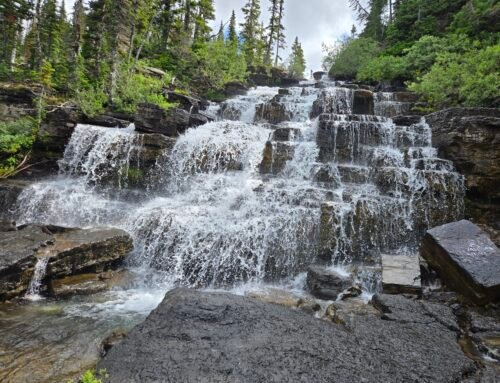
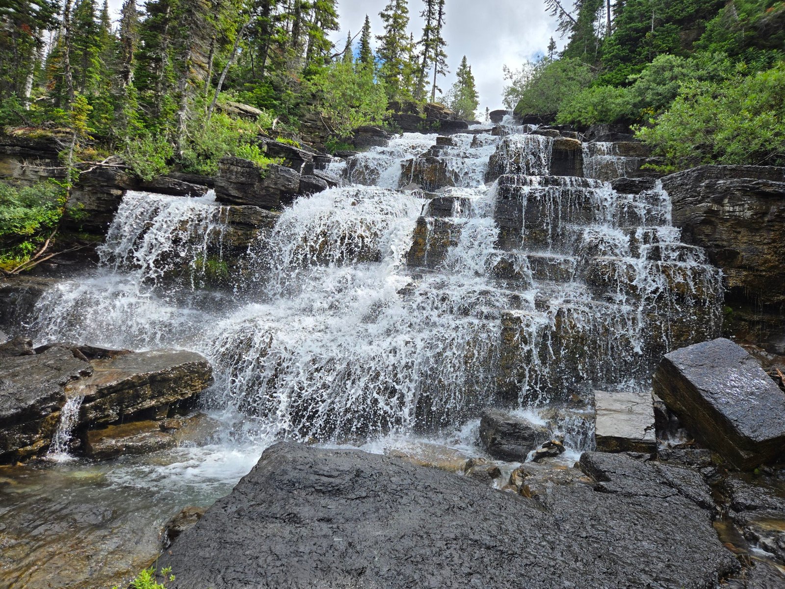
It was a balmy day at the end of April when we met up early with our friend Brian Connelly at a pullout near Checkerboard Mesa in Zion NP. The weather was just right – highs around 70, which would mean we could warm up in the sunny stretches between the wet canyon narrows, but not too hot for the very long and exposed hike back out. We started our hike uphill to Checkerboard Pass, the only way to get through the many buttes that make up this range. Once at the top of the pass, we emerged into the sandstone wonderland of Southeast Zion with many ridges and valleys. Along the route, Brian dropped off a frozen water bottle for the return hike, and we continued. Eventually we found the correct drainage and started descending down a steep sandstone ramp into the West Fork of Fat Man’s Misery. Our adventure was just beginning.


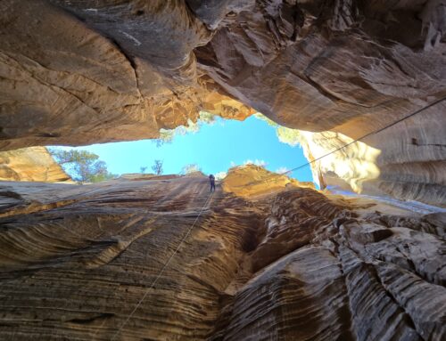
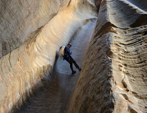
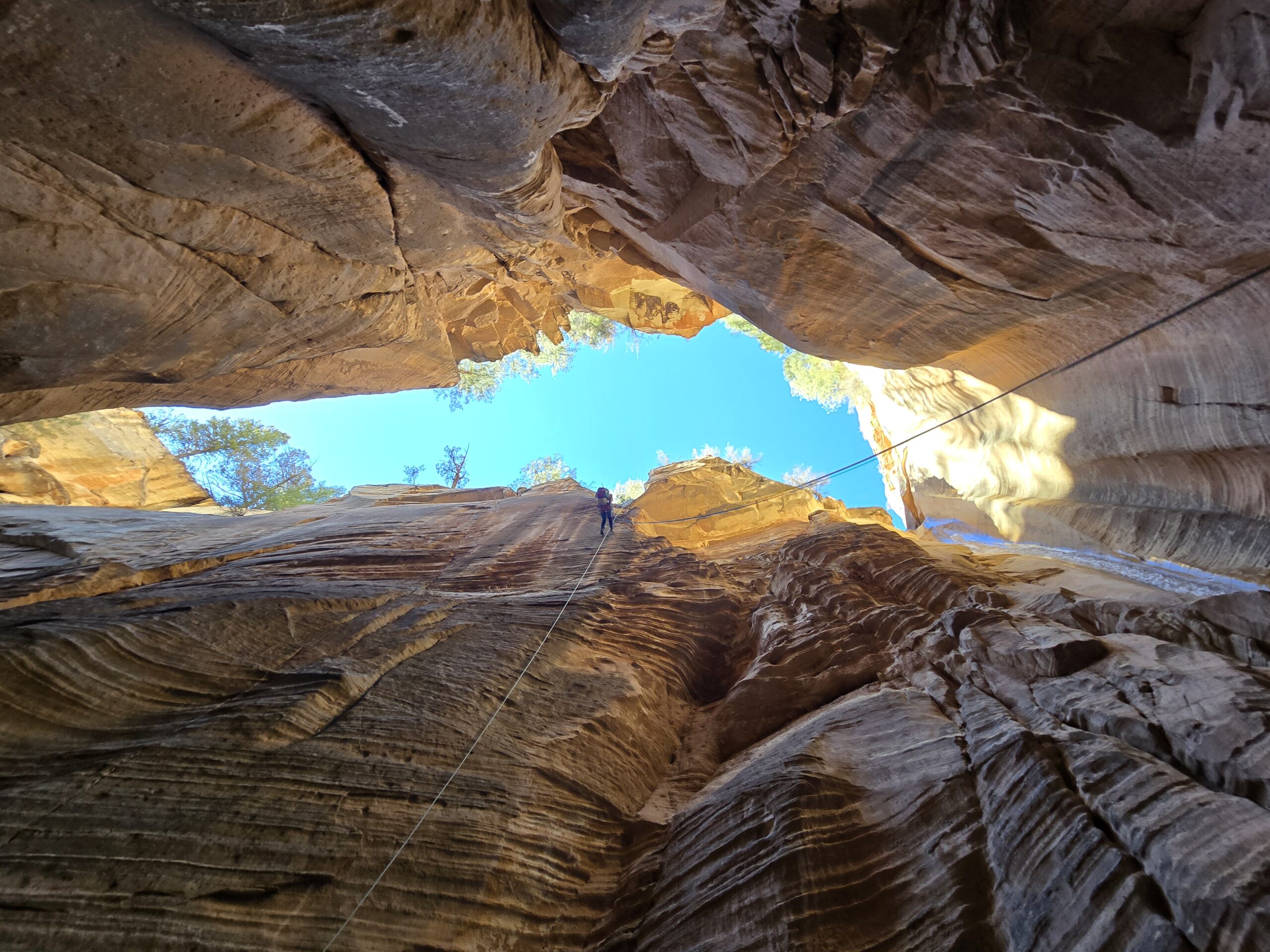
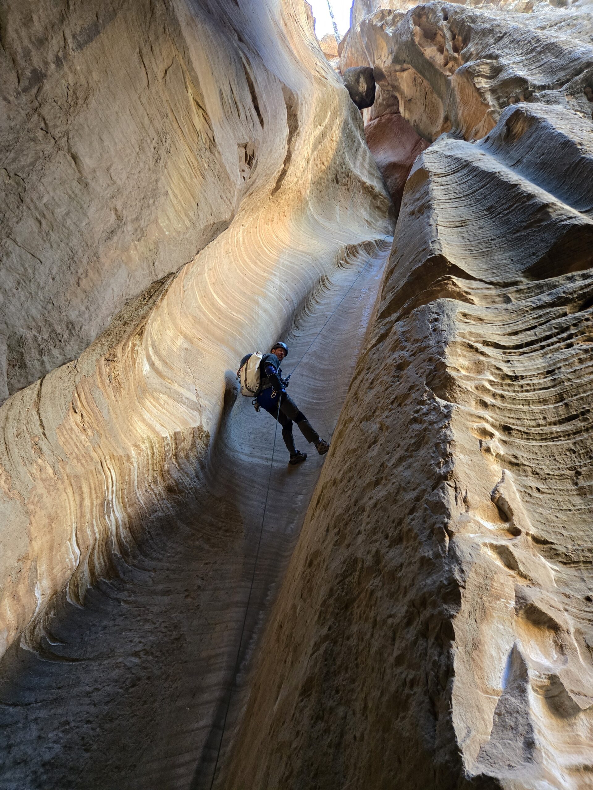
Fat Man’s is an incredibly beautiful canyon, consisting of numerous sets of narrows, many featuring sinuous curves, carved arches and scenic logs wedged at various angles above the floor. There are numerous down climbs and several short rappels to get through the canyon. The narrows contain many pools, ranging from knee to chest deep. We brought our thin wetsuits and were happy to warm up when the canyon opened up between the various sets of narrows. Last year’s epic meltout had filled some of the pools with sand, making them less deep than normal.


Eventually we reached the confluence of the East and West forks of the canyon. Right after the confluence there is a drop off consisting of some giant boulders and a couple of short rappels to get down this section. As the story goes, near this spot there used to be a small rabbit hole that would allow people to downclimb to the bottom, but it was very narrow, hence the name Fat Man’s Misery. Apparently, the rabbit hole collapsed a number of years ago due to rockfall.


We then entered another set of narrows, one containing an incredible grotto that took our breath away. The canyon was so narrow and deep at this point that we were in near darkness, in a chamber with ice blue water reflecting light streaming into intricately carved sandstone with a double arch on the bottom and another opening above the second arch. Our cameras were taking photos in night mode as we stood in amazement at the contrast between light and dark and marveled at the sculpted chamber.


The wonders were not over yet. Shortly after the grotto, we emerged into a warm spring that smelled strongly of sulfur. Patches of exotic hot pink algae were growing in the water, which we carefully avoided. The permanent warm water spring has created a unique riparian area bursting with flowers, grasses, ferns and a riot of other plants. This spring flows into the East Fork of the Virgin River.


This part of the Virgin River is absolutely gorgeous. Imagine the Narrows in Zion but without any people, a true wilderness. Tall and majestic walls dwarf the river that carved this canyon. The flow wasn’t very strong, but I found a large stick to help me keep my footing. Just like the Narrows, there are deeper areas where the water is up to your chest and shallow areas where you are just walking along. We wandered through cathedral-like walls for about a third of a mile and took time to rest and take it all in.


We soon spotted a vegetated bank that looked like the trail out. Right at this spot is a memorial plaque to the 1872 Powell expedition that explored this canyon. We removed our soggy wetsuits, filtered some water and got ready for the 3+ hour slog back to the car.

The first part of the exit is a scramble up a steep gully out of the canyon and then a more obvious trail appears. Eventually we made it back to our starting point where we dropped into the west fork, continuing back on the same trails we had taken that morning. The exit trail is most definitely all uphill, and the walk back to Checkerboard Pass takes forever. We recovered Brian’s bottle of water, which was still cold, took a break and continued on. Blissfully, most of the trail after Checkerboard Pass is downhill.


Fat Man’s Misery is a very long day – about 10 miles of hiking, over 2000 feet of elevation gain and maybe 11 hours from car to car. It’s a steep price to pay, but the rewards include seeing one of the more remote and pristine areas in the park, a taste of true and breathtaking wilderness.
